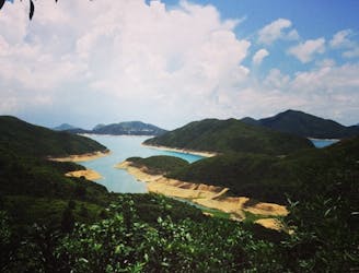
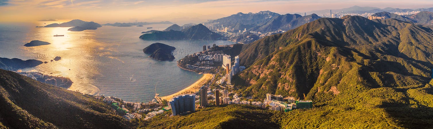
FATMAP by Strava

Pak Tam Au to Sharp Peak

Beautifull but Dangerous hike

Also in Sai Kung, Hong Kong S.A.R.

Hiking Severe

Distance
16 km
Ascent
701 m
Descent
440 m
Duration
3-4 hrs
Low Point
0 m
High Point
412 m
Gradient
14˚
Pak Tam Au to Sharp Peak Map

This is a popular hiking route which is generally considered to be severe. It's very remote, it features high exposure and is typically done between September and March. From a low point of 0 m to the maximum altitude of 412 m, the route covers 16 km, 701 vertical metres of ascent and 440 vertical metres of descent.

Description

Beautifull Hike, with a beach stop

Difficulty

Severe

Hiking challenging trails where simple scrambling, with the occasional use of the hands, is a distinct possibility. The trails are often filled with all manner of obstacles both small and large, and the hills are very steep. Obstacles and challenges are often unexpected and can be unpredictable.

High Exposure

3 out of 4

Some trail sections have exposed ledges or steep ascents/descents where falling could cause serious injury.

Remoteness

3 out of 4

Little chance of being seen or helped in case of an accident.

Best time to visit

between September and March

Features

  • Historical
  • Picturesque
  • Summit Hike
  • Wild flowers
  • Forestry or heavy vegetation

Similar routes nearby

Guidebooks in this area