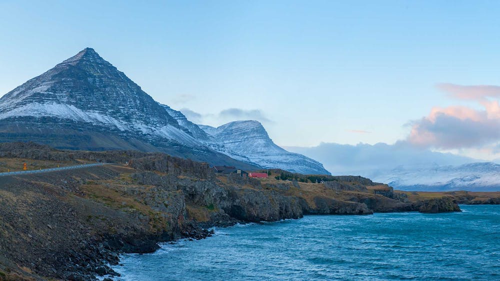
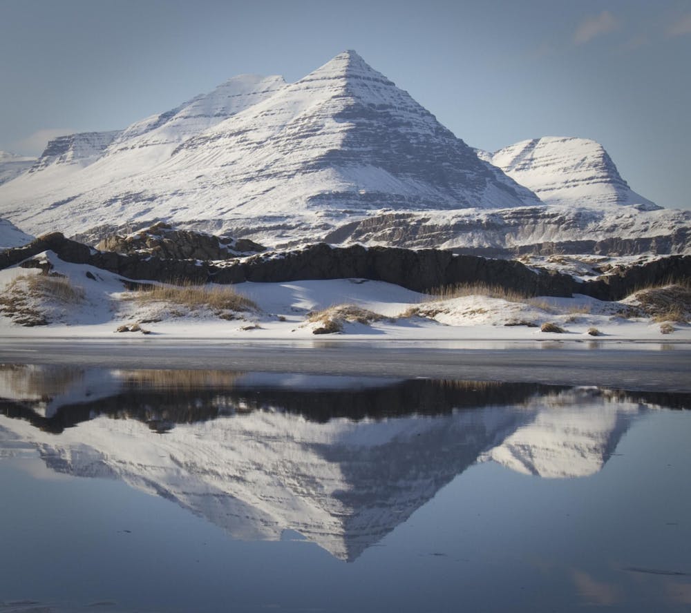
Mt Búlandstindur
Pride of Djúpivogur town
Alpine Climbing Severe
- Distance
- 7.9 km
- Ascent
- 945 m
- Descent
- 945 m
- Low Point
- 112 m
- High Point
- 1 km
- Gradient
- 30˚

This is a popular alpine climbing route which is generally considered to be severe. It's very remote, it features high exposure and is typically done between June and September. From a low point of 112 m to the maximum altitude of 1 km, the route covers 7.9 km, 945 vertical metres of ascent and 945 vertical metres of descent.
- •
- •
- •
Description
The pyramid-shaped Búlandstindur at 1069 m, dominates the landscape, and according to legend, it can make wishes come true during the summer solstice.
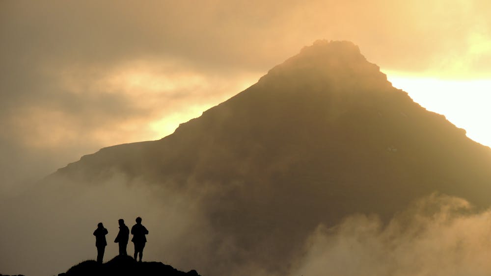
This is not a marked trail and only for experienced hikers. There is a good telephone contact on the top.
Difficulty
Severe
Steep, sustained and serious terrain on rock/ice. Routes will be long, exposed and possibly committing. D, D+
High Exposure

Much of the route is difficult to protect and a fall could be disastrous at certain points.
Remoteness
Little chance of being seen or helped in case of an accident.