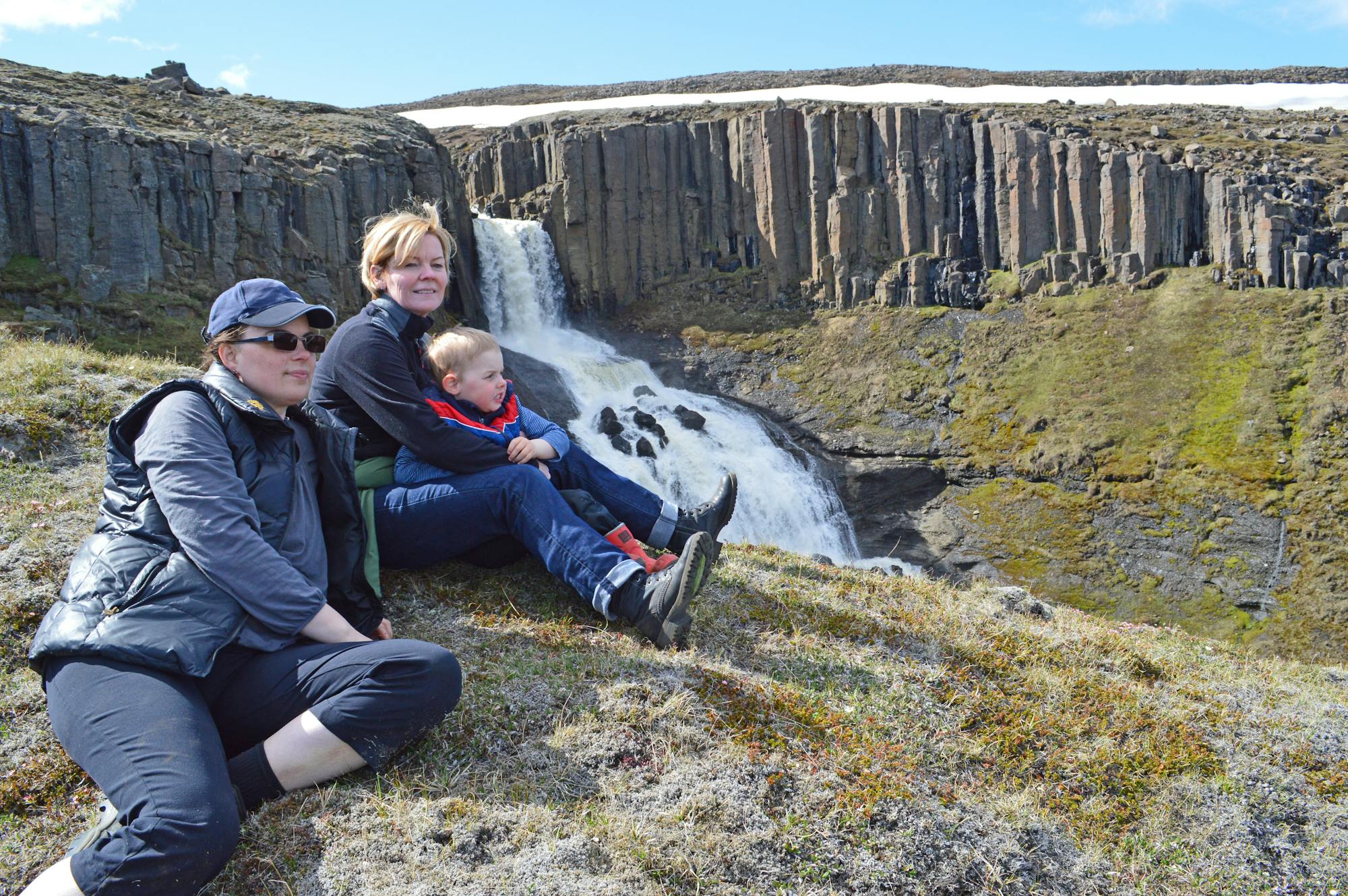
Virkisleið - Dyrhamar - Hnúkur - Sandfellsleið

Hvannadalshnúkur um Virkisjökul og niður Sandfell
Difficult Hiking
- Distance
- 22 km
- Ascent
- 2.1 km
- Descent
- 2.1 km
Explore Austurland with curated guides of the best hiking trails, trail running routes, and more. With over 62 3D trail maps in FATMAP, you can easily discover and navigate the best trails in Austurland.
No matter what your next adventure has in store, you can find a guide on FATMAP to help you plan your next epic trip.
Get a top trail recommendation in Austurland, or get inspired by the 62 local adventures uploaded by the FATMAP community. Start exploring now!
Hvannadalshnúkur um Virkisjökul og niður Sandfell
Difficult Hiking
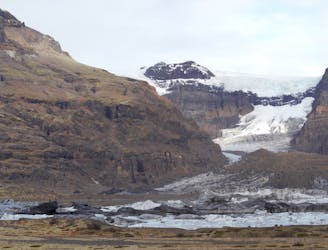
The route that goes to Morsárjökull glacier.
Moderate Hiking
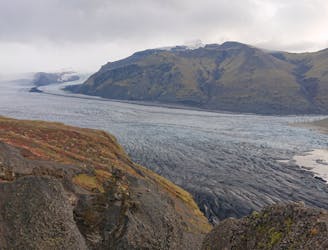
TThe Skaftafellsheiði traverse.
Moderate Hiking

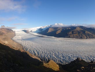
Explore the remoteness of Europas biggest glaciser
Moderate Ski Touring
The trail that goes up to Sjónarnípa view point above Skaftafellsjökull glacier, and then goes to Svartifoss waterfall before returning to the campground.
Moderate Trail Running

short and easy hike right outside the door of your holiday accomodation
Easy Hiking
Víknaslóðir - From Borgarfjörður to Loðmundarfjörður Hiking Hut
Difficult Hiking

Hjólaleið - Mountain Bike Trail
Moderate Mountain Biking