Kækjuskörð
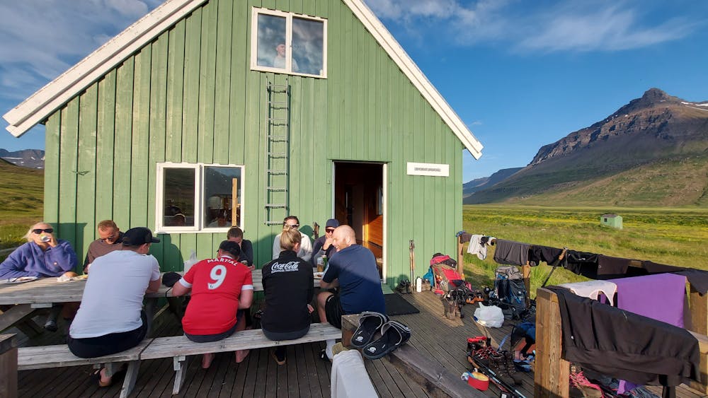
Víknaslóðir - From Borgarfjörður to Loðmundarfjörður Hiking Hut
Hiking Difficult
- Distance
- 14 km
- Ascent
- 773 m
- Descent
- 821 m
- Duration
- 4-5 hrs
- Low Point
- 14 m
- High Point
- 767 m
- Gradient
- 13˚

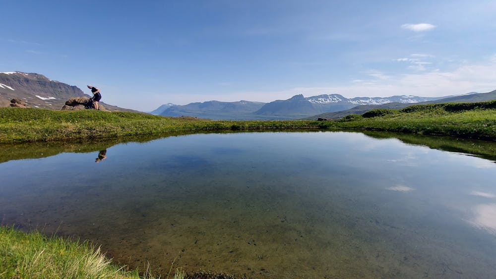
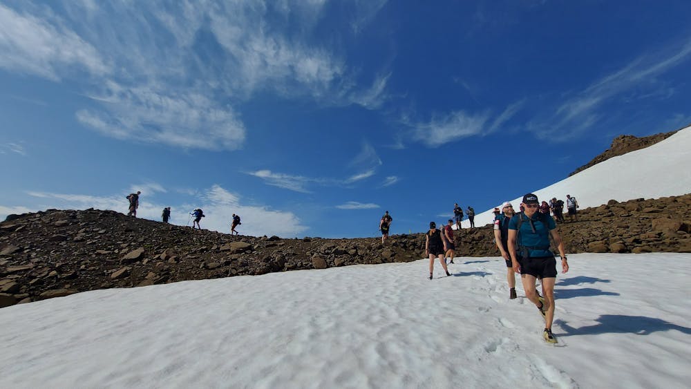
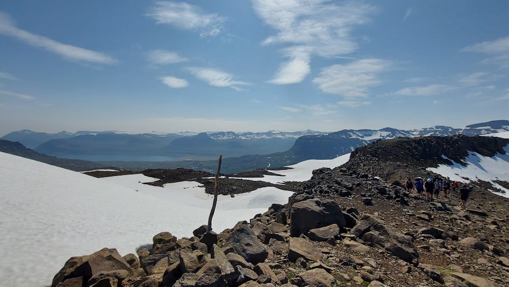
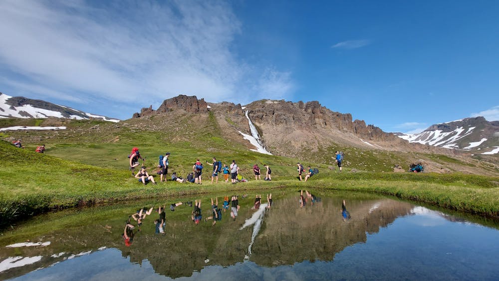
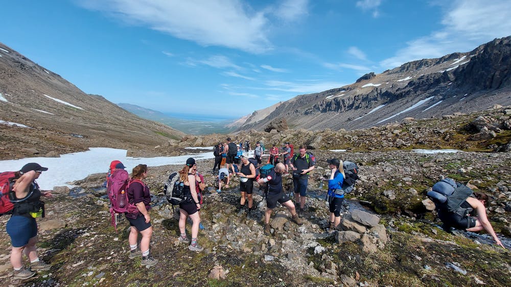
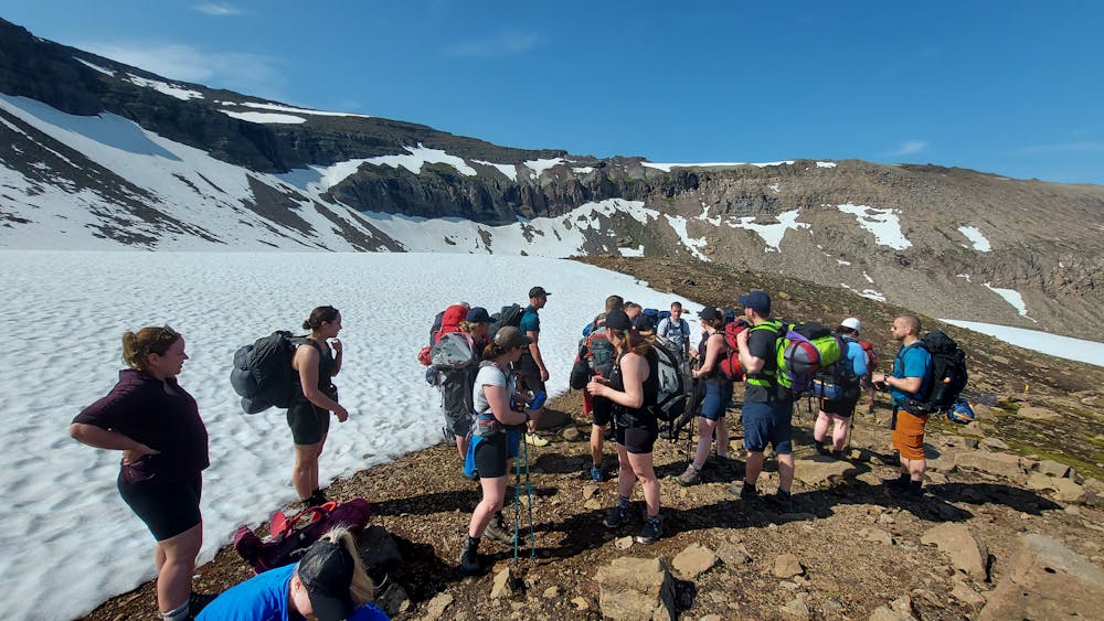
This is a popular hiking route which is generally considered to be difficult. It's very remote, it features high exposure and is typically done between July and September. From a low point of 14 m to the maximum altitude of 767 m, the route covers 14 km, 773 vertical metres of ascent and 821 vertical metres of descent.
- •
- •
- •
- •
- •
- •
- •
Description
The old main trail from Borgarfjörður to Loðmundarfjörður - Gamla þjóðleiðin frá Borgarfirði til Loðmundarfjarðar
Difficulty
Difficult
Hiking trails where obstacles such as rocks or roots are prevalent. Some obstacles can require care to step over or around. At times, the trail can be worn and eroded. The grade of the trail is generally quite steep, and can often lead to strenuous hiking.
High Exposure

Some trail sections have exposed ledges or steep ascents/descents where falling could cause serious injury.
Remoteness
Little chance of being seen or helped in case of an accident.
Best time to visit
Features
- Alpine
- Wildlife
- Historical
- Picturesque
- Wild flowers
- Water features