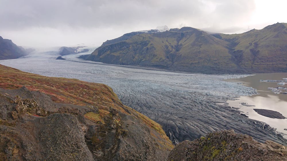
S6 Trail - Skaftafell
The trail that goes up to Sjónarnípa view point above Skaftafellsjökull glacier, and then goes to Svartifoss waterfall before returning to the campground.
Trail Running Moderate
- Distance
- 6.4 km
- Ascent
- 258 m
- Descent
- 258 m
- Duration
- 0-1 hrs
- Low Point
- 94 m
- High Point
- 349 m
- Gradient
- 7˚

This is a popular trail running route which is generally considered to be moderate. It's not remote, it features low exposure and is typically done all year round. From a low point of 94 m to the maximum altitude of 349 m, the route covers 6.4 km, 258 vertical metres of ascent and 258 vertical metres of descent.
Description
The trail that goes up to Sjónarnípa view point above Skaftafellsjökull glacier, and then goes to Svartifoss waterfall before returning to the campground. Duration: 2.5 - 3 hrs.
Difficulty
Moderate
Low Exposure

The path is on completely flat land and potential injury is limited to falling over.
Remoteness
Close to help in case of emergency.