Berufjarðarskarð
Pass between Berufjörður and Breiðdalur
Hiking Difficult
- Distance
- 8.3 km
- Ascent
- 677 m
- Descent
- 634 m
- Duration
- 2-3 hrs
- Low Point
- 37 m
- High Point
- 702 m
- Gradient
- 15˚

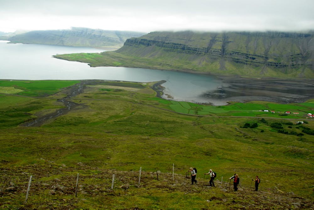
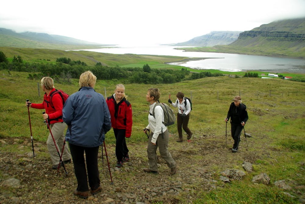
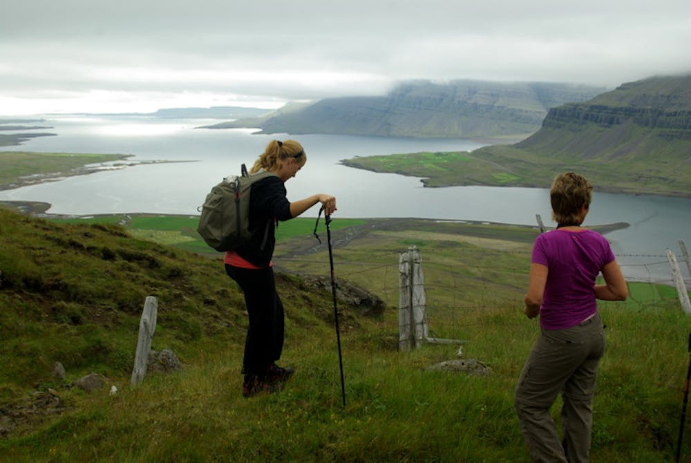
There are two choices for a starting point on the Breiðdalur side, either Höskuldsstaðir (off the map) or Flaga (64°49.03-14°23.02); these two paths soon merge in the lower pass of Vegaskarð. From there you continue over the main pass, Berufjarðarskarð (64°49.22-14°26.61), and down into Berufjörður fjord. Stay just west of Svartagil gorge while descending to the farm named Berufjörður (64°47.84-14°29.03), but avoid going as far west as the deep hollow of Sótabotn
Description
Frá Breiðdal er hægt að ganga frá tveimur stöðum. Annars vegar frá Höskuldsstöðum (utan korts) og frá Flögu (64°49,03-14°23,02) en leiðirnar sameinast fljótlega við Vegaskarð. Áfram er haldið sem leið liggur upp í Berufjarðarskarð (64°49,22-14°26,61). Niður í Berufjörð er farið fyrir innan og meðfram Svartagili að Sótabotni, en gengið er niður milli botnsins og gilsins og niður með því endilöngu alla leið niður að bæ í Berufirði (64°47,84-14°29,03).
Difficulty
Difficult
Hiking trails where obstacles such as rocks or roots are prevalent. Some obstacles can require care to step over or around. At times, the trail can be worn and eroded. The grade of the trail is generally quite steep, and can often lead to strenuous hiking.
Medium Exposure

The trail contains some obstacles such as outcroppings and rock which could cause injury.
Remoteness

Little chance of being seen or helped in case of an accident.
Best time to visit
Features
- Picturesque