Geitavíkurþúfa - Borgarfjörður eystri
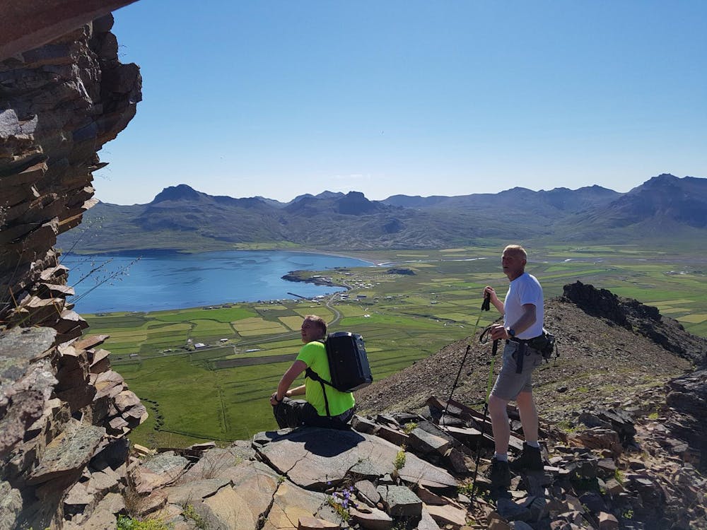
Great hike with a wonderful view
Hiking Difficult
- Distance
- 8.7 km
- Ascent
- 678 m
- Descent
- 679 m
- Duration
- 2-3 hrs
- Low Point
- 5 m
- High Point
- 655 m
- Gradient
- 19˚

This is a popular hiking route which is generally considered to be difficult. It's very remote, it features high exposure and is typically done between May and October. From a low point of 5 m to the maximum altitude of 655 m, the route covers 8.7 km, 678 vertical metres of ascent and 679 vertical metres of descent.
Description
Wonderful hike to the top of Mt. Geitavíkurþúfa. To begin with follow a marked trail to Hrafnatindur Peak and from there follow the track on an unmarked trail.
Difficulty
Difficult
Hiking trails where obstacles such as rocks or roots are prevalent. Some obstacles can require care to step over or around. At times, the trail can be worn and eroded. The grade of the trail is generally quite steep, and can often lead to strenuous hiking.
High Exposure

Some trail sections have exposed ledges or steep ascents/descents where falling could cause serious injury.
Remoteness
Little chance of being seen or helped in case of an accident.
Best time to visit
Features
- Alpine
- Wildlife
- Picturesque
- Summit Hike
- Wild flowers
- Family friendly