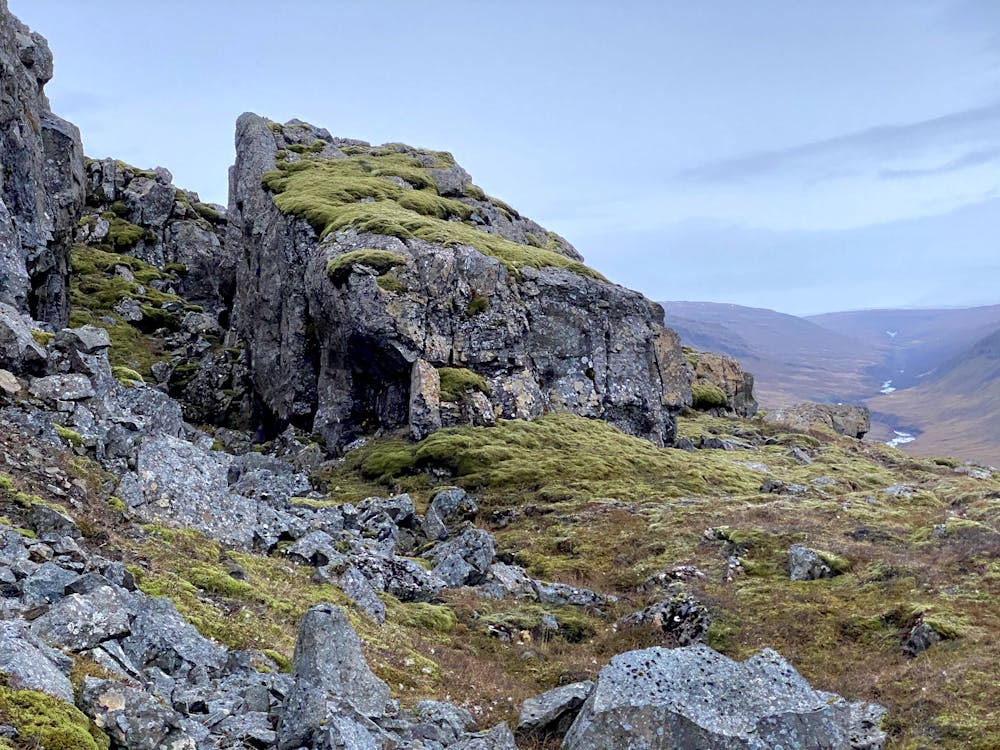
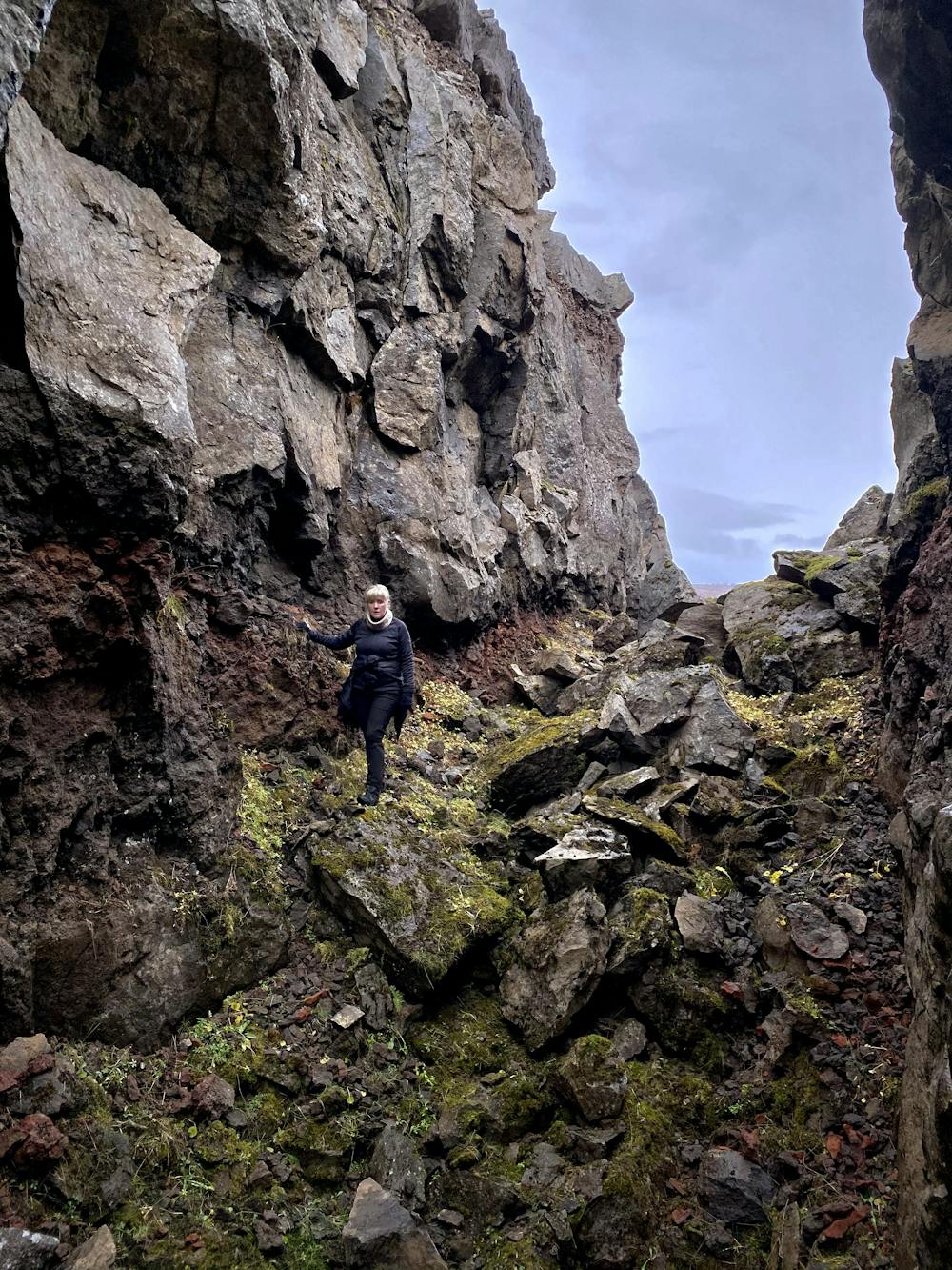
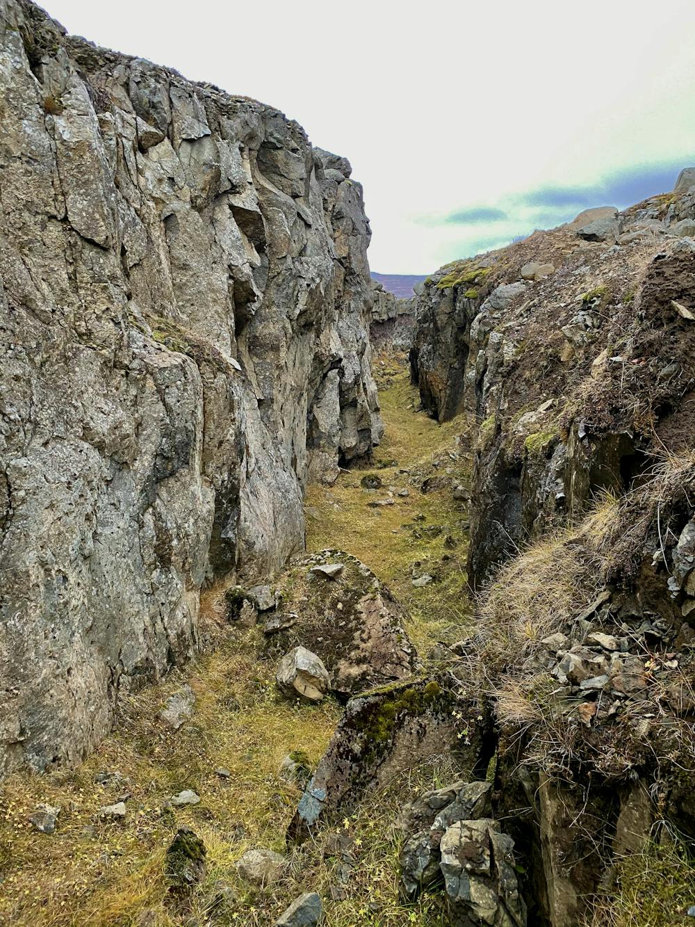
Gjáhjalli
Sérstakt náttúrufyrirbrigði
Hiking Difficult
- Distance
- 1.8 km
- Ascent
- 270 m
- Descent
- 29 m
- Duration
- 0-1 hrs
- Low Point
- 144 m
- High Point
- 391 m
- Gradient
- 15˚

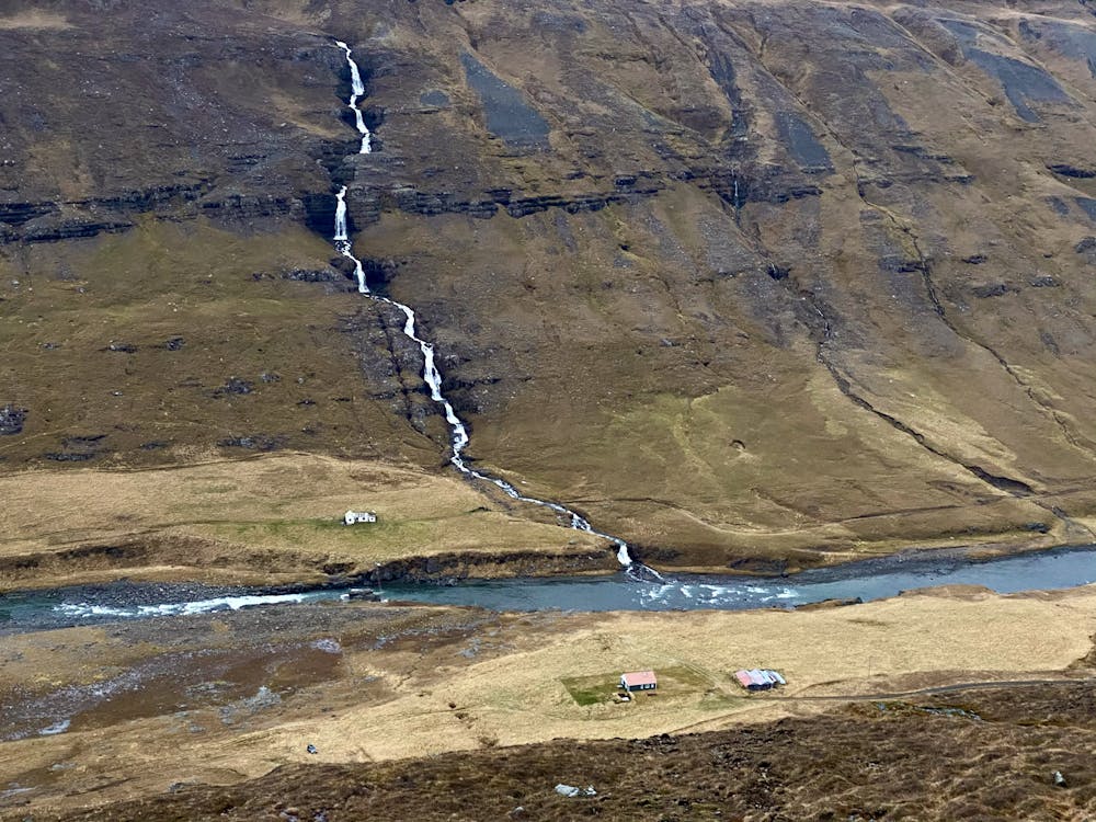
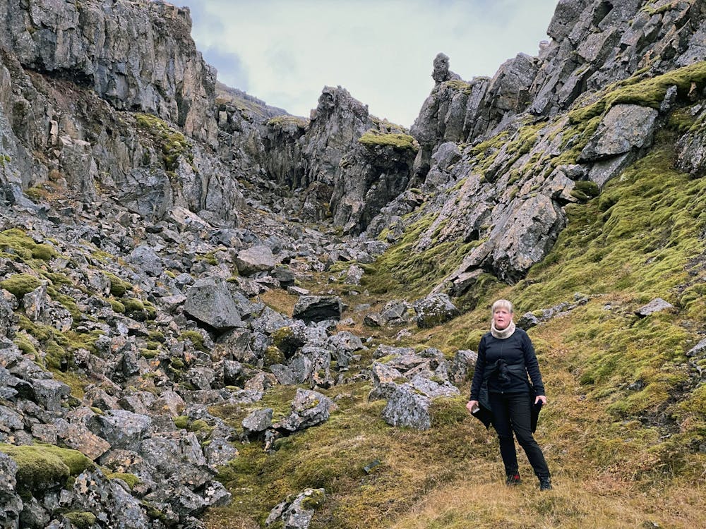
Gönguleiðin að Gjáhjalla liggur frá Glúmsstaðaseli í Norðurdal Fljótsdal og upp í vesturhlíð Múlans. Gjáhjallinn er sérstakt náttúrufyrirbæri með sprungum og gjám, allt að 20 m djúpum. Gjárnar eru taldar hafa myndast við hægfara bergskrið (rock creep) á árþúsundum. Vegalengd: 2 km Brött og varast þarf jarðsprungur.
- •
- •
- •
- •
- •
Difficulty
Difficult
Hiking trails where obstacles such as rocks or roots are prevalent. Some obstacles can require care to step over or around. At times, the trail can be worn and eroded. The grade of the trail is generally quite steep, and can often lead to strenuous hiking.
High Exposure

Some trail sections have exposed ledges or steep ascents/descents where falling could cause serious injury.
Remoteness

Away from help but easily accessed.
Best time to visit
Features
- Wildlife
- Picturesque
- Wild flowers