Hafnartangi - Borgarfjörður eystri
Wonderful unmarked hiking trail
Hiking Moderate
- Distance
- 2.3 km
- Ascent
- 62 m
- Descent
- 63 m
- Duration
- 0-1 hrs
- Low Point
- 5 m
- High Point
- 58 m
- Gradient
- 4˚

This is a popular hiking route which is generally considered to be moderate. It's very remote, it features medium exposure and is typically done between April and October. From a low point of 5 m to the maximum altitude of 58 m, the route covers 2.3 km, 62 vertical metres of ascent and 63 vertical metres of descent.
Description
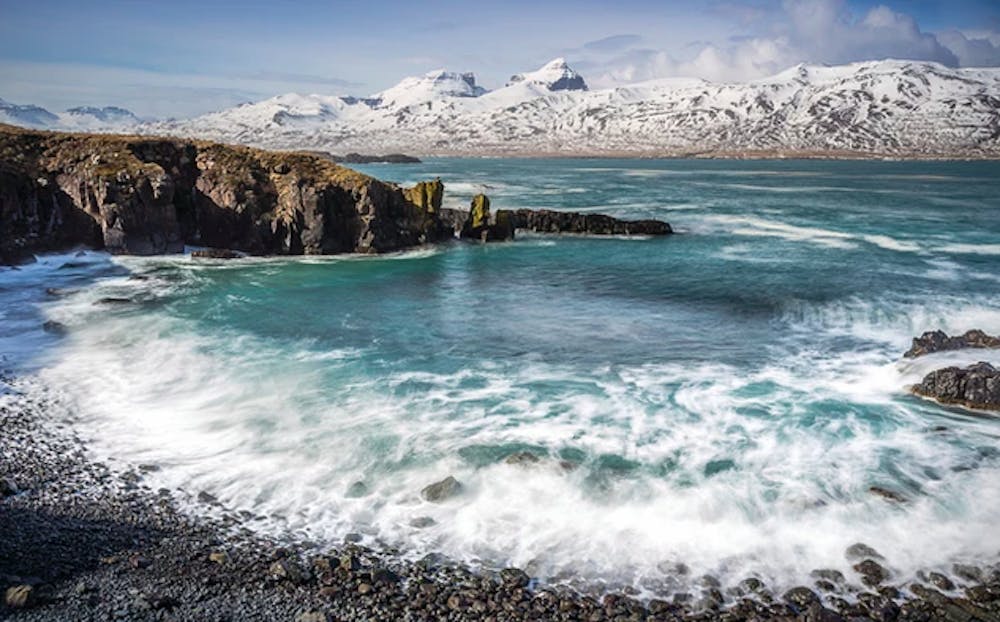
Short hike from Borgarfjörður Eystri Marina to Hafnartangi. Wonderful seascape and wilderness area. Please show respect when crossing Höfn farm. Close all gates and try not to disturb sheep near the farm. If farmers are around, please ask kindly to cross the area.
Difficulty
Moderate
Hiking along trails with some uneven terrain and small hills. Small rocks and roots may be present.
Medium Exposure

The trail contains some obstacles such as outcroppings and rock which could cause injury.
Remoteness

Little chance of being seen or helped in case of an accident.
Best time to visit
Features
- Wildlife
- Picturesque
- Wild flowers
- Water features
- Family friendly