Höttur
Beautiful mountain hike
Hiking Difficult
- Distance
- 10 km
- Ascent
- 1 km
- Descent
- 1 km
- Duration
- 3-4 hrs
- Low Point
- 112 m
- High Point
- 1.1 km
- Gradient
- 18˚

This is a popular hiking route which is generally considered to be difficult. It's very remote, it features high exposure and is typically done between June and September. From a low point of 112 m to the maximum altitude of 1.1 km, the route covers 10 km, 1025 vertical metres of ascent and 1024 vertical metres of descent.
Description
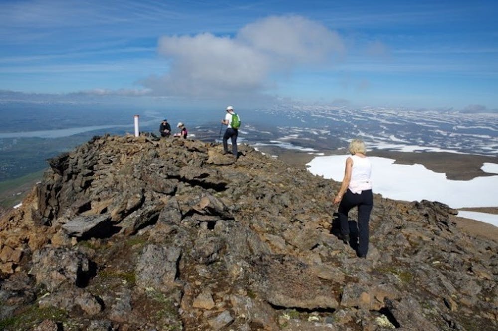
Höttur (Hátúnahöttur) is a beautiful mountain which lies in the mountain range between Vellir and Fagridalur and is favoured by many who live in Egilsstaðir.
Difficulty
Difficult
Hiking trails where obstacles such as rocks or roots are prevalent. Some obstacles can require care to step over or around. At times, the trail can be worn and eroded. The grade of the trail is generally quite steep, and can often lead to strenuous hiking.
High Exposure

Some trail sections have exposed ledges or steep ascents/descents where falling could cause serious injury.
Remoteness
Little chance of being seen or helped in case of an accident.
Best time to visit
Features
- Alpine
- Picturesque
- Summit Hike