Hrafnafell
Easy walk // 1.5-2 hrs
Hiking Easy
- Distance
- 6 km
- Ascent
- 280 m
- Descent
- 285 m
- Duration
- 1-2 hrs
- Low Point
- 112 m
- High Point
- 211 m
- Gradient
- 9˚

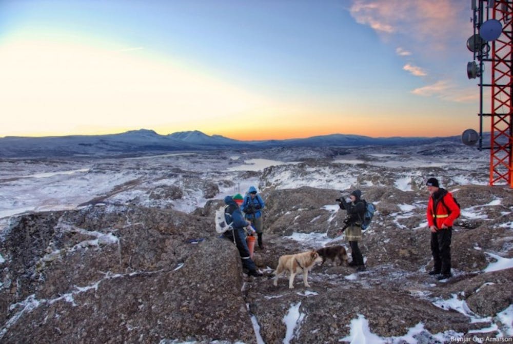
Drive the gravel road up to Fjallssel farm and to the highest spot south-west of Hafrafell. Walk from the road towards the antennas on Hrafnafell where you can find the cylinder with the visitors’ log and stamp. Do walk on to Hafrafellsrétt livestock pen (N65°18.02-W14°29.23) which is man-made of rocks and stones, between cliffs slightly to the east of the trail. It is also very nice to descend east of Hrafnafell and see Kvíahellir cave (N65°18,359-W14°29,063)
Difficulty
Easy
Walking along a well-kept trail that’s mostly flat. No obstacles are present.
Medium Exposure

The trail contains some obstacles such as outcroppings and rock which could cause injury.
Remoteness
Away from help but easily accessed.
Best time to visit
Features
- Dog friendly
- Family friendly