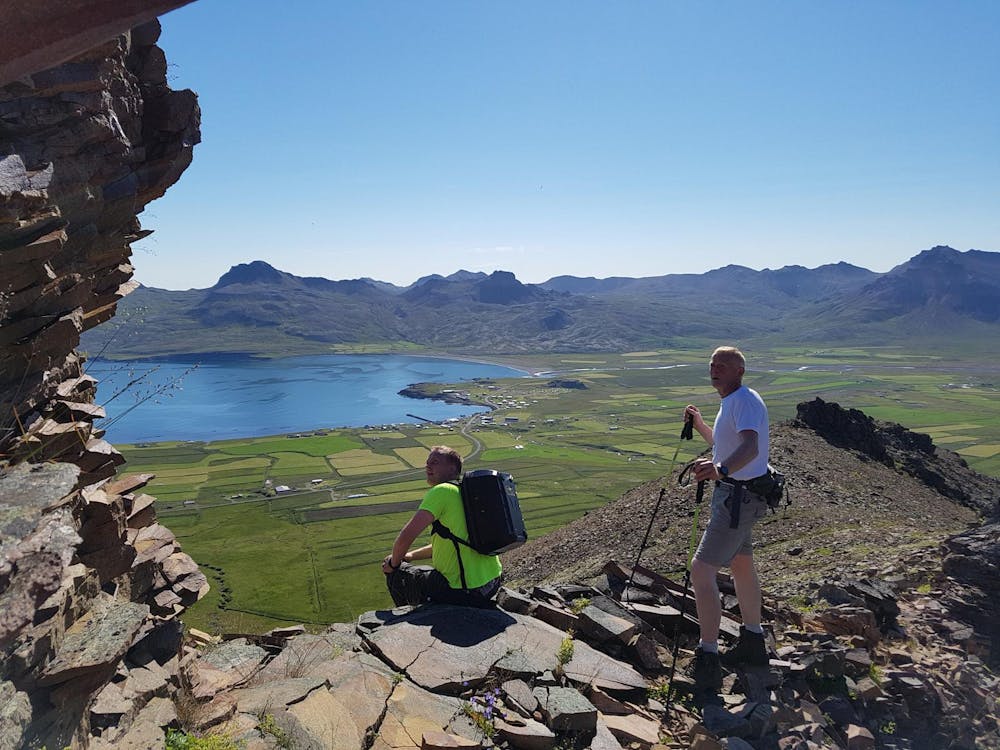
Hrafnatindur / Kúahjalli - Borgarfjörður eystri
Wonderful family hike
Hiking Moderate
- Distance
- 7 km
- Ascent
- 408 m
- Descent
- 408 m
- Duration
- 2-3 hrs
- Low Point
- 6 m
- High Point
- 372 m
- Gradient
- 12˚

This is a popular hiking route which is generally considered to be moderate. It's remote, it features medium exposure and is typically done between May and October. From a low point of 6 m to the maximum altitude of 372 m, the route covers 7 km, 408 vertical metres of ascent and 408 vertical metres of descent.
Description
Beautiful family hiking trail from the Borgarfjörður eystri village and back. Great view and scenery. Marked hiking trail.
Difficulty
Moderate
Hiking along trails with some uneven terrain and small hills. Small rocks and roots may be present.
Medium Exposure

The trail contains some obstacles such as outcroppings and rock which could cause injury.
Remoteness
Away from help but easily accessed.
Best time to visit
Features
- Picturesque
- Summit Hike
- Family friendly