Húsavíkurheiði - Víknaslóðir
Breiðavík to Húsavík
Hiking Moderate
- Distance
- 14 km
- Ascent
- 577 m
- Descent
- 458 m
- Duration
- 3-4 hrs
- Low Point
- 10 m
- High Point
- 488 m
- Gradient
- 9˚

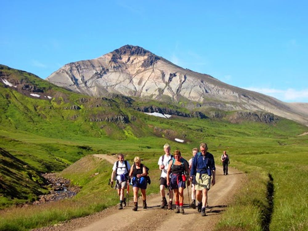
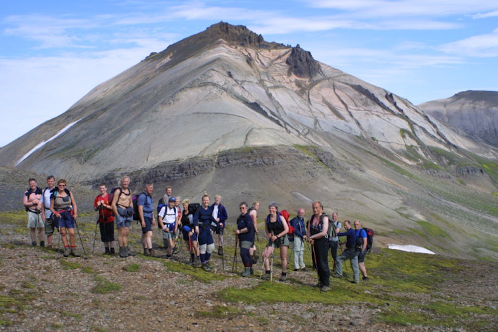
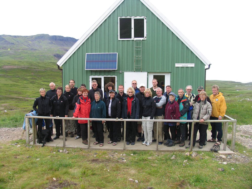
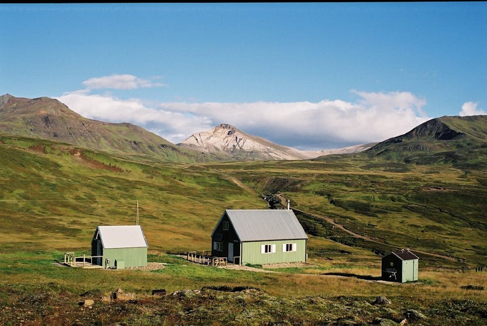
The start from the Breiðavík hut (65°27.83-13°40.29) is an easy 6-km walk on grass and gravelly ground on marked trail north of the Stóraá river. At the trail crossing (65°26.85-13°45.90) on Víknaheiði heath (260m), one hikes 1.5 km to the Krossmelar (65°26.21-13°46.69) junction with the 4WD track to Loðmundarfjörður. One then follows it for 6 km over Húsavíkurheiði (65°25.74-13°45.60) to the Húsavík hut (65°23.68-13°44.12), although in fair weather one can take detours from the track as desired.
- •
- •
- •
- •
- •
- •
Difficulty
Moderate
Hiking along trails with some uneven terrain and small hills. Small rocks and roots may be present.
Medium Exposure

The trail contains some obstacles such as outcroppings and rock which could cause injury.
Remoteness

Little chance of being seen or helped in case of an accident.
Best time to visit
Features
- Wildlife
- Historical
- Picturesque
- Wild flowers
- Water features
- Family friendly