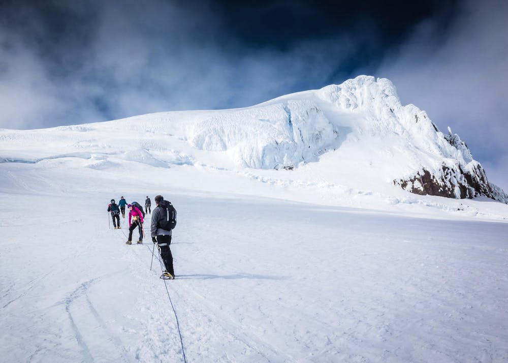
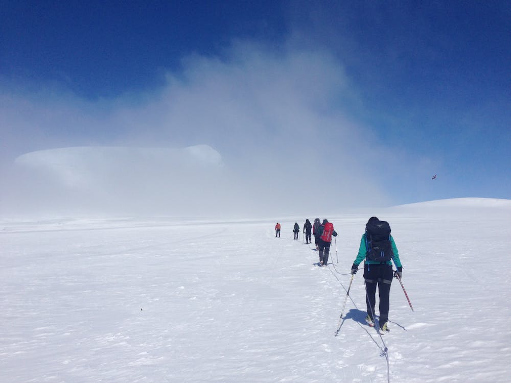
Hvannadalshnukur
The highest summit in Iceland!
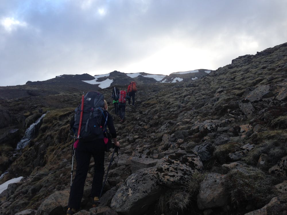
Hiking Difficult
- Distance
- 21 km
- Ascent
- 2.2 km
- Descent
- 2.2 km
- Duration
- 1 day +
- Low Point
- 96 m
- High Point
- 2.1 km
- Gradient
- 22˚

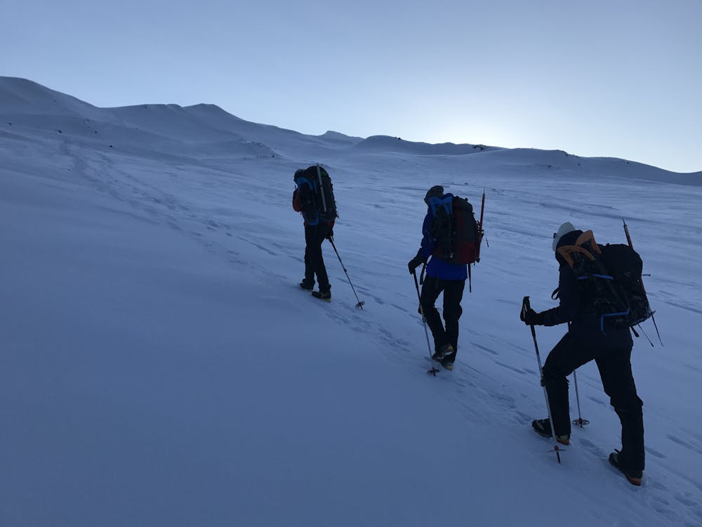
This is a popular hiking route which is generally considered to be difficult. It's remote, it features high exposure and is typically done between March and May. From a low point of 96 m to the maximum altitude of 2.1 km, the route covers 21 km, 2177 vertical metres of ascent and 2177 vertical metres of descent.
- •
- •
- •
- •
- •
- •
- •
Description
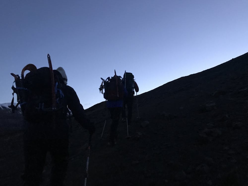
Semi technical hike requiring crampons, ice axe and crevasse experience unless guided
Difficulty
Difficult
Hiking trails where obstacles such as rocks or roots are prevalent. Some obstacles can require care to step over or around. At times, the trail can be worn and eroded. The grade of the trail is generally quite steep, and can often lead to strenuous hiking.
High Exposure

Some trail sections have exposed ledges or steep ascents/descents where falling could cause serious injury.
Remoteness

Away from help but easily accessed.
Best time to visit
Features
- Picturesque
- Summit Hike