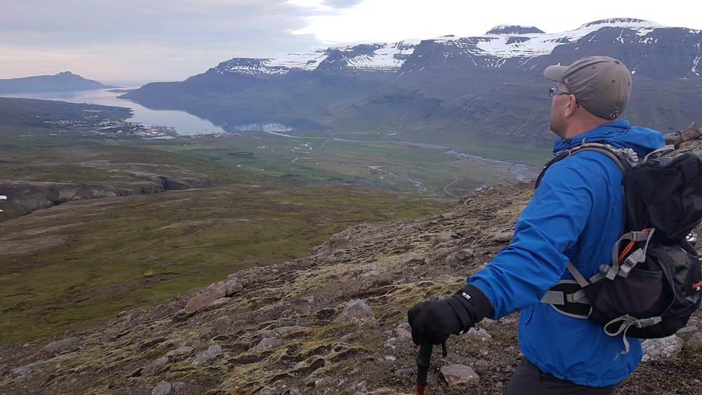
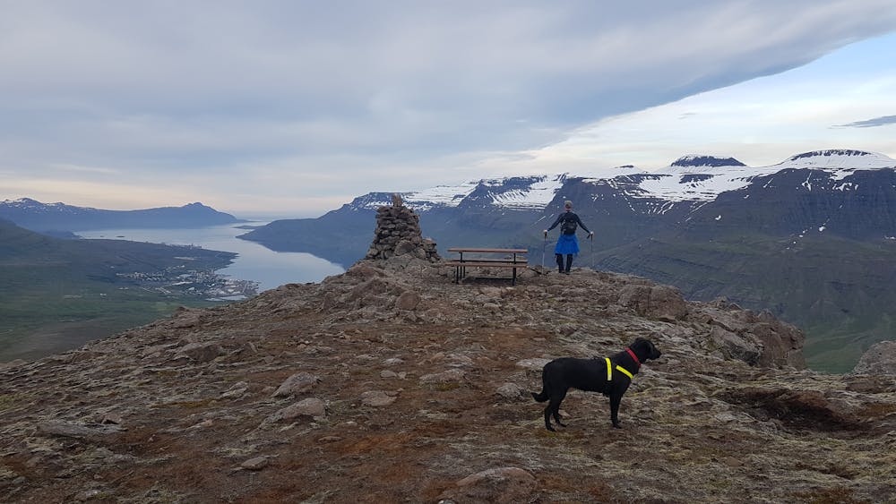
Mt Grænafell hiked from Fagridalur
Great viewpoint over Reyðarfjörður
Hiking Moderate
- Distance
- 4.2 km
- Ascent
- 364 m
- Descent
- 364 m
- Duration
- 1-2 hrs
- Low Point
- 220 m
- High Point
- 566 m
- Gradient
- 14˚

The haven of Mt. Grænafell by Reyðarfjörður has served as the prime location for local outdoor activities for a number of years. At the top of the mountain, a beautiful lake awaits the visitor and a spectacular gorge carves the landscape beside the fell. A paradise of fine bushes at the foot of the mount completes the icing on the cake. The tiny forest is adorned by planted trees, brooklets and extensive rocks fragments from the cliff, reminiscent of dwellings from the land of fairy tales. The area has been made easily accessible by marked hiking trails.
Difficulty
Moderate
Hiking along trails with some uneven terrain and small hills. Small rocks and roots may be present.
Medium Exposure

The trail contains some obstacles such as outcroppings and rock which could cause injury.
Remoteness

Little chance of being seen or helped in case of an accident.
Best time to visit
Features
- Picturesque
- Summit Hike
- Dog friendly
- Family friendly