Mt Snæfell
King Of Icelandic Mountains
Hiking Difficult
- Distance
- 13 km
- Ascent
- 1.1 km
- Descent
- 1.1 km
- Duration
- 4-5 hrs
- Low Point
- 792 m
- High Point
- 1.8 km
- Gradient
- 18˚

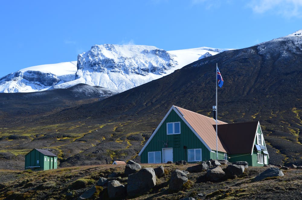
Mt Snæfell towering to 1,833 m, is the highest mountain in Iceland outside the glacier regions. Even so, and despite the omnipresent snow, (Snæfell = "The Snow Mountain), it is fairly accessible from Snæfellsskáli hut.
- •
- •
- •
Description
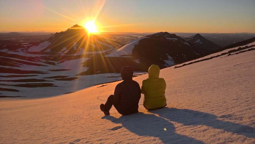
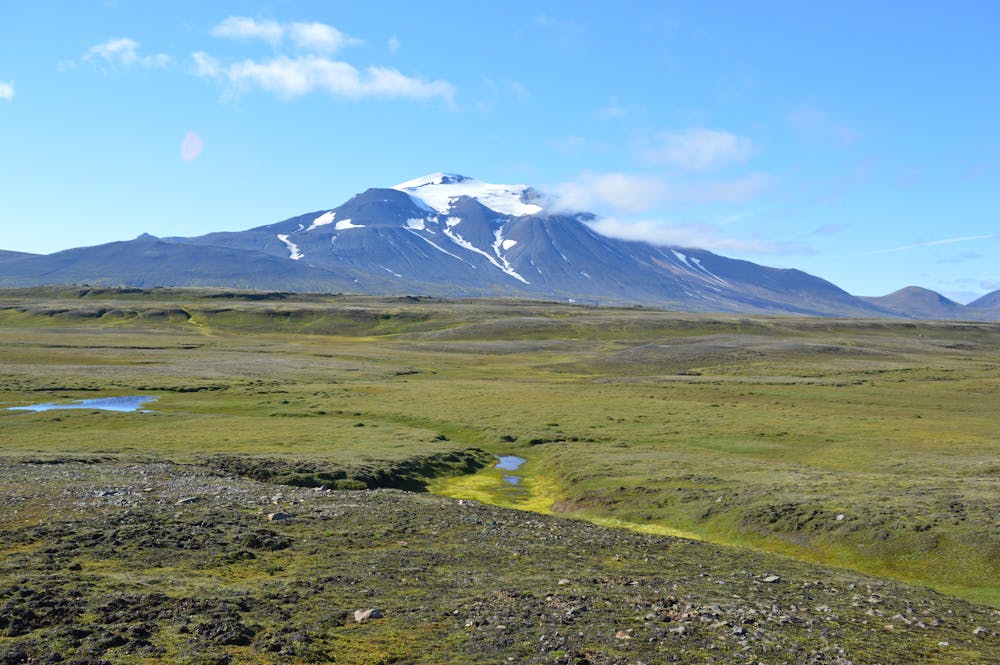
While Snæfell boasts a splendor of its own, it offers a fabulous view, partly overlooking the oasis of Eyjabakkar. Eyjabakkar is a choice habitat for geese.
Reindeer can frequently be spotted west of Snæfell, towards Hálsalón reservoir, in addition to other territories in the East Iceland highlands.
Difficulty
Difficult
Hiking trails where obstacles such as rocks or roots are prevalent. Some obstacles can require care to step over or around. At times, the trail can be worn and eroded. The grade of the trail is generally quite steep, and can often lead to strenuous hiking.
High Exposure

Some trail sections have exposed ledges or steep ascents/descents where falling could cause serious injury.
Remoteness
Little chance of being seen or helped in case of an accident.
Best time to visit
Features
- Alpine
- Picturesque
- Summit Hike