Nesháls - Víknaslóðir
Húsavík to Loðmundarfjörður
Hiking Moderate
- Distance
- 13 km
- Ascent
- 448 m
- Descent
- 563 m
- Duration
- 3-4 hrs
- Low Point
- 6 m
- High Point
- 440 m
- Gradient
- 15˚

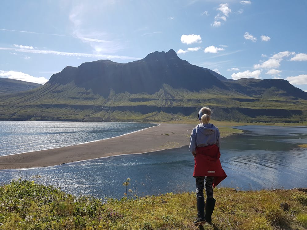
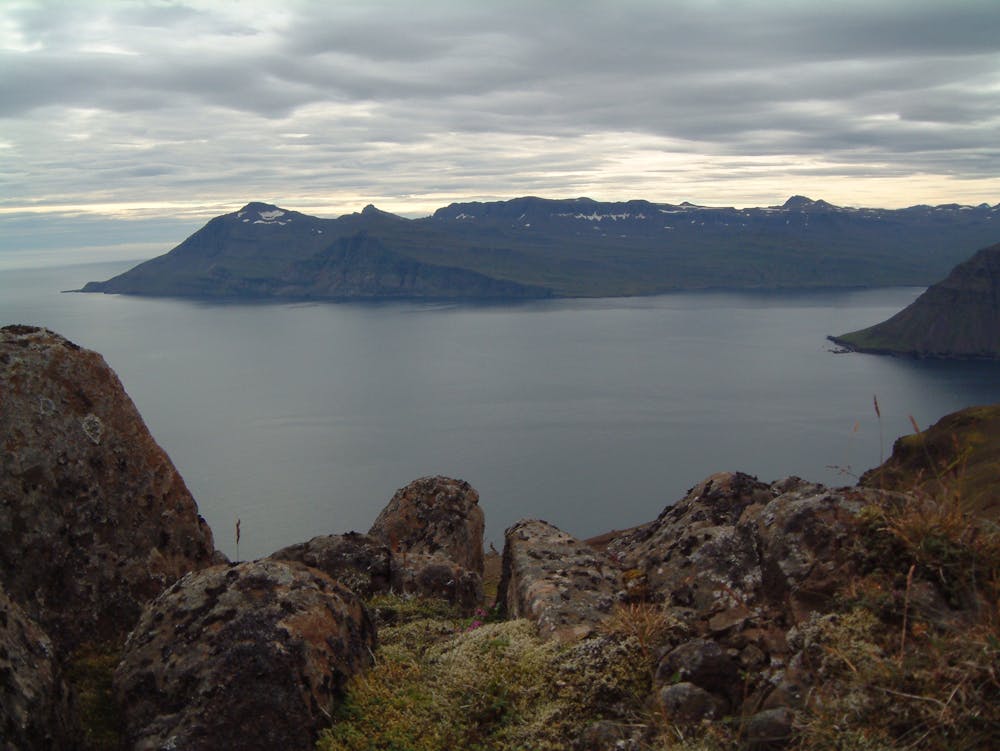
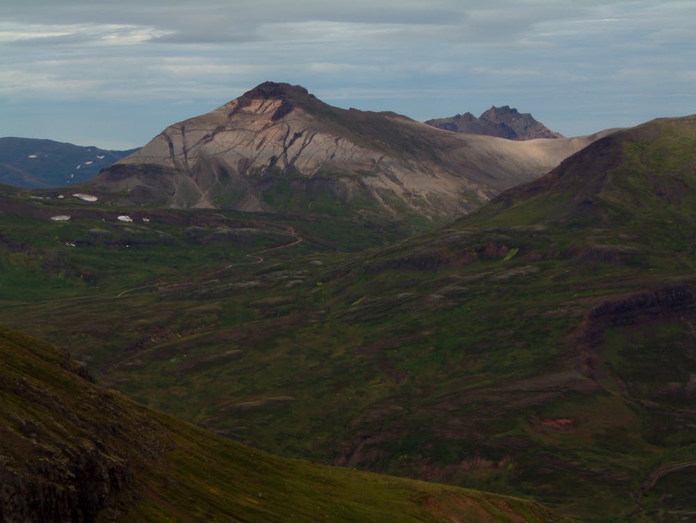
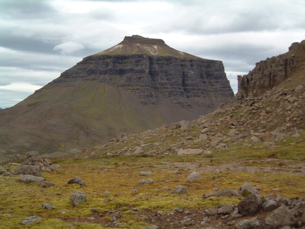
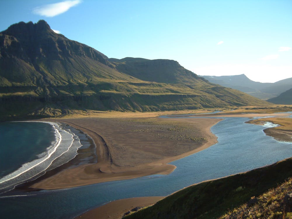
The 4WD road is followed from the Húsavík hut over Nesháls pass (435 m). In good weather you can take the old main marked horse trail from Nesháls and back to the main road near the abandoned farm Nes. in good weather pleasant detours can be taken into the gravelly or vegetated surroundings.
- •
- •
- •
- •
- •
- •
- •
- •
Difficulty
Moderate
Hiking along trails with some uneven terrain and small hills. Small rocks and roots may be present.
High Exposure

Some trail sections have exposed ledges or steep ascents/descents where falling could cause serious injury.
Remoteness
Little chance of being seen or helped in case of an accident.
Best time to visit
Features
- Alpine
- Wildlife
- Historical
- Picturesque
- Wild flowers
- Water features
- Family friendly