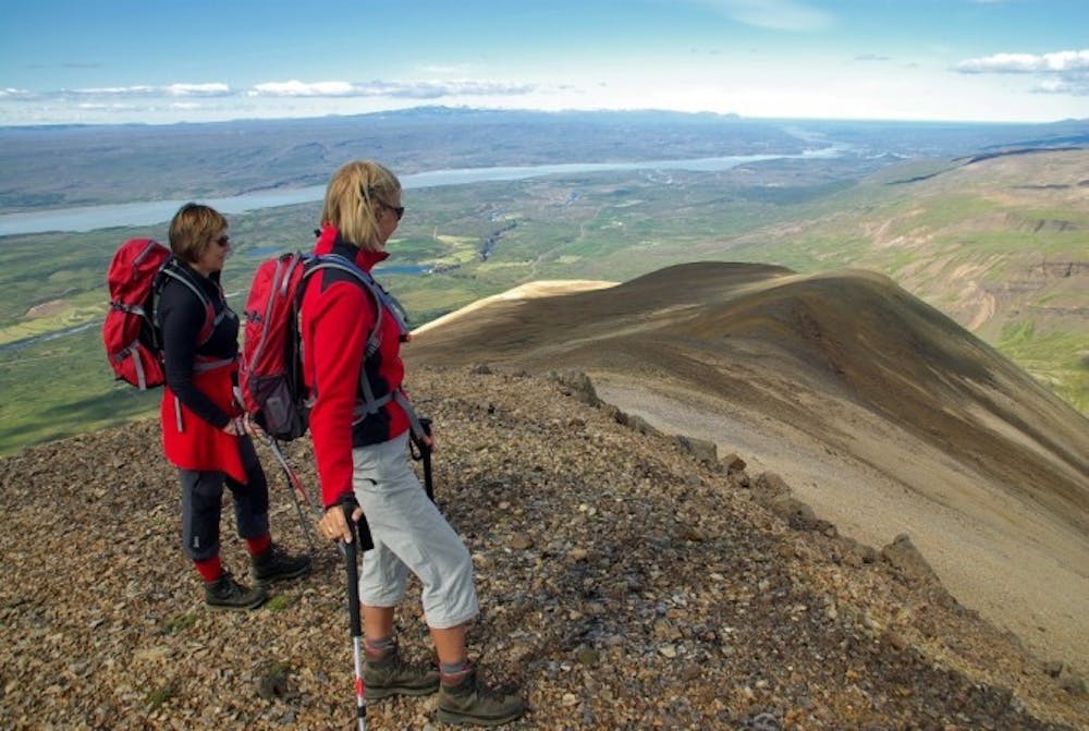
Sandfell in Fljótsdalshérað
Impressive looking rhyolite mountain
Hiking Difficult
- Distance
- 10 km
- Ascent
- 929 m
- Descent
- 929 m
- Duration
- 3-4 hrs
- Low Point
- 120 m
- High Point
- 1 km
- Gradient
- 18˚

Sandfell is an impressive looking rhyolite mountain in the shape of a ridge and reminds one of a tent because of it’s even slopes which are mostly free of cliffs and by it’s two darker peaks. To climb, walk the trail close to Stóra-Sandfell farm towards a fence then turn and walk up along it, then upwards by the trail on the northern ridge straight to the top which reaches 1157 m.
Difficulty
Difficult
Hiking trails where obstacles such as rocks or roots are prevalent. Some obstacles can require care to step over or around. At times, the trail can be worn and eroded. The grade of the trail is generally quite steep, and can often lead to strenuous hiking.
High Exposure

Some trail sections have exposed ledges or steep ascents/descents where falling could cause serious injury.
Remoteness
Little chance of being seen or helped in case of an accident.
Best time to visit
Features
- Alpine
- Picturesque
- Summit Hike