Sauðahnjúkur
Stutt og fjölskylduvæn ganga
Hiking Easy
- Distance
- 1.1 km
- Ascent
- 95 m
- Descent
- 6 m
- Duration
- 0-1 hrs
- Low Point
- 893 m
- High Point
- 985 m
- Gradient
- 6˚
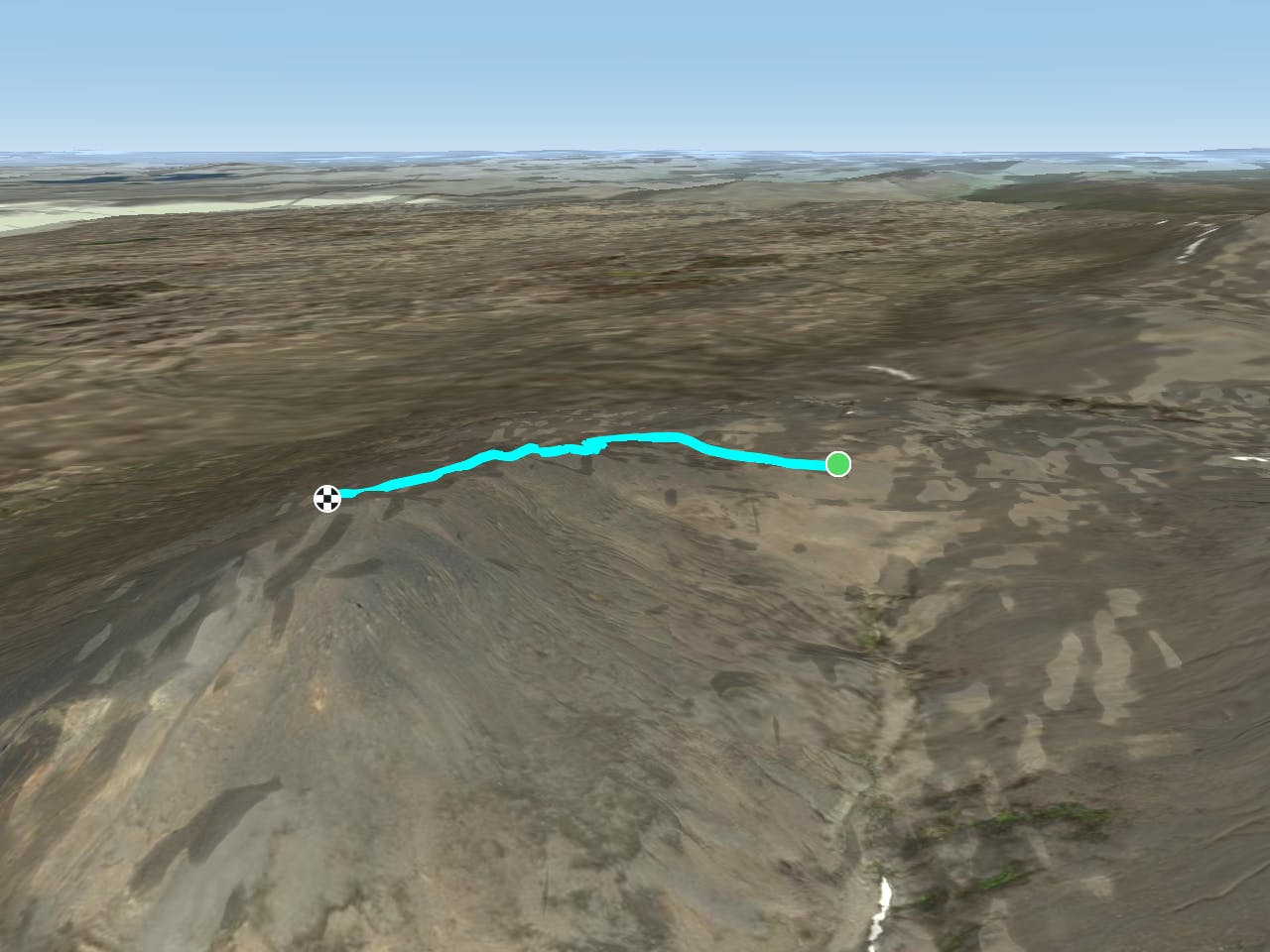
This is a popular hiking route which is generally considered to be easy. It's remote, it features high exposure and is typically done between June and October. From a low point of 893 m to the maximum altitude of 985 m, the route covers 1.1 km, 95 vertical metres of ascent and 6 vertical metres of descent.
Description
Frá bílastæði við Vestari Sauðahnjúk liggur stikuð gönguleið norðan í hnjúknum og upp á topp eftir vesturhlið hans. Gott útsýni er af Sauðahnjúk yfir Vesturöræfi, Brúarjökul, Hálslón og allt að Kverkfjöllum og Herðubreið. Vegalengd: 1 km
Difficulty
Easy
Walking along a well-kept trail that’s mostly flat. No obstacles are present.
High Exposure

Some trail sections have exposed ledges or steep ascents/descents where falling could cause serious injury.
Remoteness

Away from help but easily accessed.
Best time to visit
Features
- Picturesque
- Summit Hike
- Family friendly