Storurd Hiking Trail
One of East Iceland's most illustrious spots
Hiking Moderate
- Distance
- 14 km
- Ascent
- 716 m
- Descent
- 716 m
- Duration
- 4-5 hrs
- Low Point
- 405 m
- High Point
- 645 m
- Gradient
- 11˚

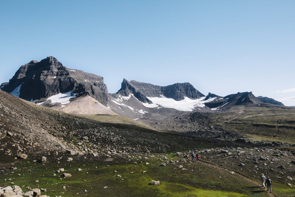
One of East Iceland's most illustrious spots is the Stórurð ("The Giant Boulders"), located to the east of the road leading to Borgarfjörður Eystri. Stórurð lies below the small glacier west of Dyrfjöll mountains.
Description
It consists of gigantic tuff boulders, charming meadows, and attractive ponds. This wonderful scene can be reached in 2.5 hours on foot from Vatnsskarð pass.
To enjoy Dyrfjöll and Stórurð a whole day plan is highly recommended.
Difficulty
Moderate
Hiking along trails with some uneven terrain and small hills. Small rocks and roots may be present.
Medium Exposure

The trail contains some obstacles such as outcroppings and rock which could cause injury.
Remoteness

Little chance of being seen or helped in case of an accident.
Best time to visit
Features
- Picturesque
- Dog friendly
- Family friendly