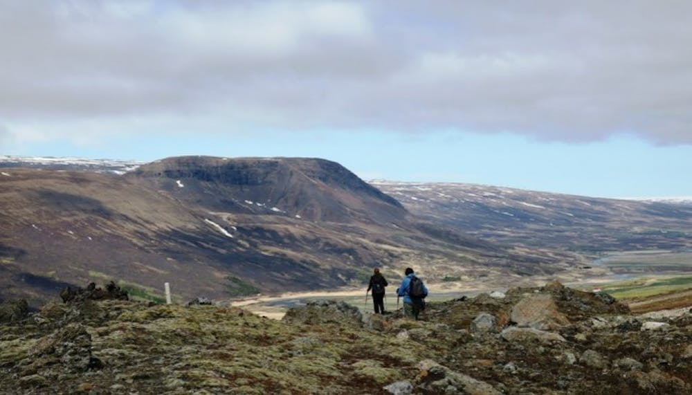
Stuttidalur
A light walk // 2-3 hrs
Hiking Easy
- Distance
- 3.3 km
- Ascent
- 157 m
- Descent
- 157 m
- Duration
- 0-1 hrs
- Low Point
- 148 m
- High Point
- 299 m
- Gradient
- 8˚

Walk from the sign by the gate close to the road by Haugaá river. The trail is staked. Stuttidalur lies east between Hallbjarnarstaðatindur and Haugafjall. The cylinder with visitors’ log and a stamp is by the pond a short distance by Sjónarhraun. If you prefer a different route back the one way is crossing the river and passing through Haugahólar hills on the way to your starting point. Haugahólar hills were formed by a huge landslide, one of the largest ever from Haugafjall, and lie between Stuttidalur and Vatnsdalur.
Difficulty
Easy
Walking along a well-kept trail that’s mostly flat. No obstacles are present.
Medium Exposure

The trail contains some obstacles such as outcroppings and rock which could cause injury.
Remoteness
Away from help but easily accessed.
Best time to visit
Features
- Picturesque
- Dog friendly
- Family friendly