Valtýshellir Cave
Easy walk // 2.5-3 hrs
Hiking Easy
- Distance
- 8.3 km
- Ascent
- 372 m
- Descent
- 369 m
- Duration
- 2-3 hrs
- Low Point
- 95 m
- High Point
- 305 m
- Gradient
- 7˚

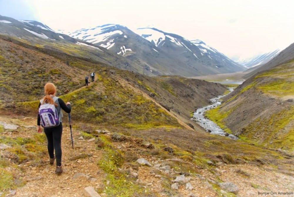
Walk from the main road east of Gilsá river (N65°08,172- W14°31.133), pass the ruins of Hátún which used to be a large farm in the early ages. It is said to have had 18 doors on iron hinges and latches. Remains of old rock fences are visible. In the 19th century an ancient sword was discovered there but it was promptly melted down and the metal casted for horseshoes and other necessities. Walk on further and along a flat grassy pasture named Kálfavellir. Valtýshellir is a small cavity further on behind some rubble north of Hjálpleysuvatn lake. The walk is about 8,4 km. The visitors’ log and stamp is by the cave.
Difficulty
Easy
Walking along a well-kept trail that’s mostly flat. No obstacles are present.
Medium Exposure

The trail contains some obstacles such as outcroppings and rock which could cause injury.
Remoteness
Away from help but easily accessed.
Best time to visit
Features
- Picturesque
- Dog friendly
- Family friendly