Víknaheiði - Víknaslóðir
From Breiðavík to Borgarfjörður
Hiking Easy
- Distance
- 9.3 km
- Ascent
- 319 m
- Descent
- 172 m
- Duration
- 2-3 hrs
- Low Point
- 9 m
- High Point
- 260 m
- Gradient
- 9˚

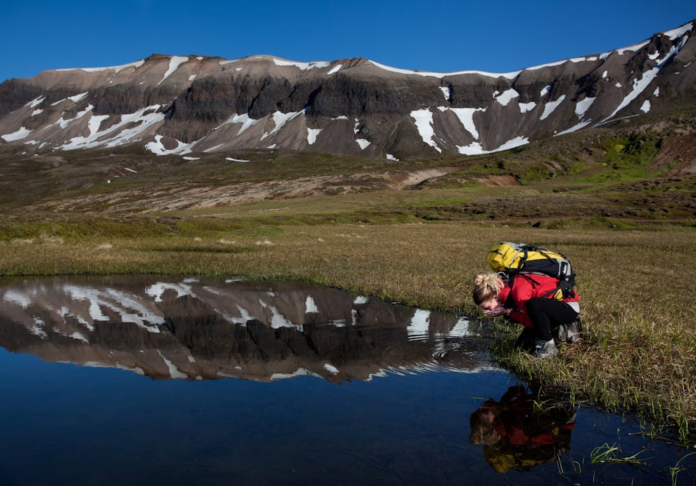
This is a popular hiking route which is generally considered to be easy. It's very remote, it features low exposure and is typically done between June and September. From a low point of 9 m to the maximum altitude of 260 m, the route covers 9.3 km, 319 vertical metres of ascent and 172 vertical metres of descent.
Description
The start from the Breiðavík hut is an easy 6-km walk on grass and gravelly ground north of the Stóraá river to Víknaheiði. An easy route along heathland and gravel which leads by Innra-Gæsavatn lake and Urðarhólavatn lake. Beautiful colors and waterfalls on the way.
Difficulty
Easy
Walking along a well-kept trail that’s mostly flat. No obstacles are present.
Low Exposure

The path is on completely flat land and potential injury is limited to falling over.
Remoteness

Little chance of being seen or helped in case of an accident.
Best time to visit
Features
- Wildlife
- Picturesque
- Wild flowers
- Water features
- Family friendly