Waterfall Trail
In to the Wilderness
Hiking Difficult
- Distance
- 13 km
- Ascent
- 658 m
- Descent
- 250 m
- Duration
- 3-4 hrs
- Low Point
- 131 m
- High Point
- 546 m
- Gradient
- 11˚

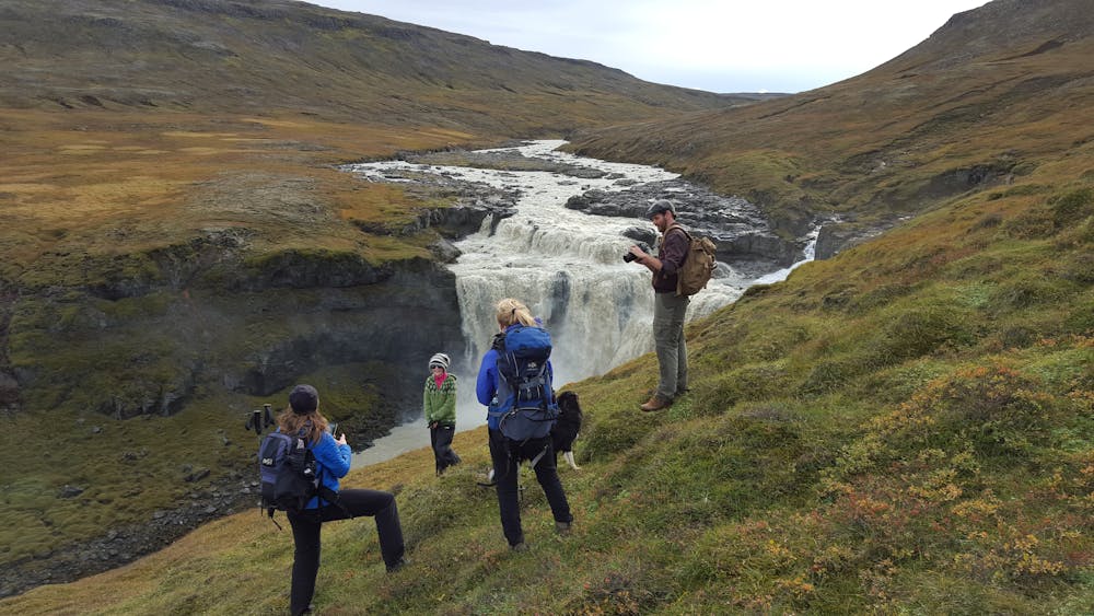
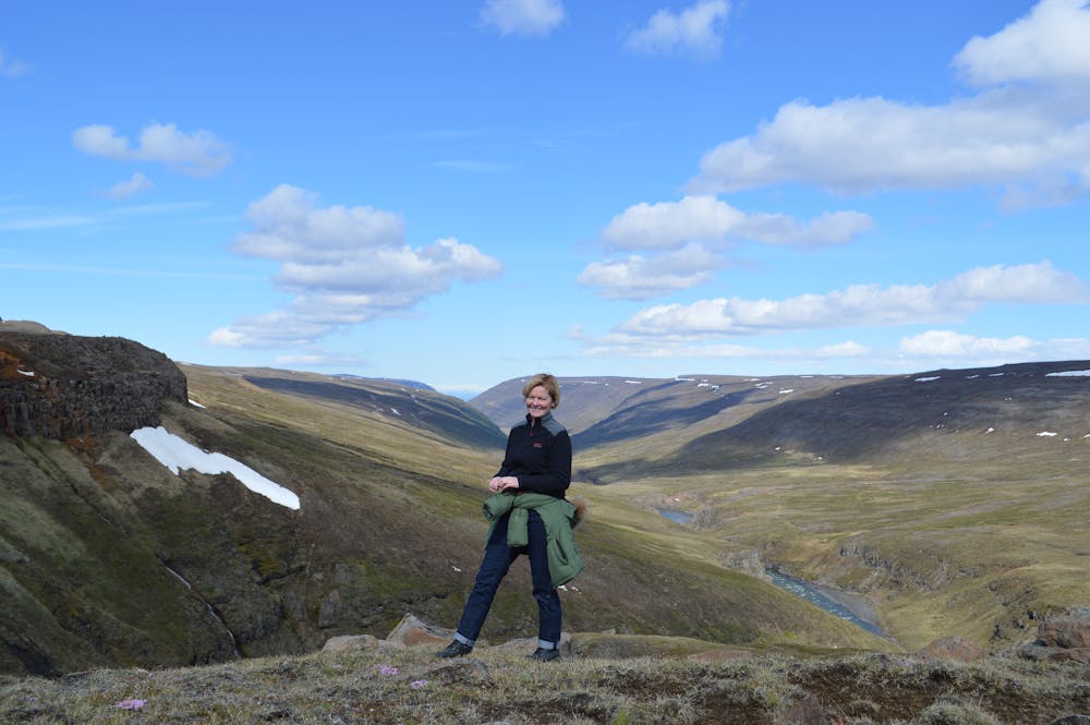
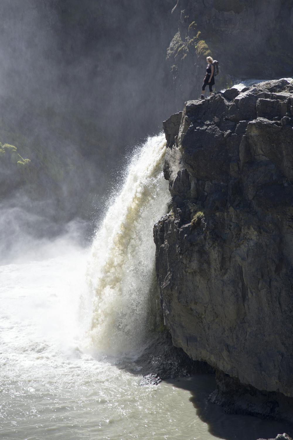
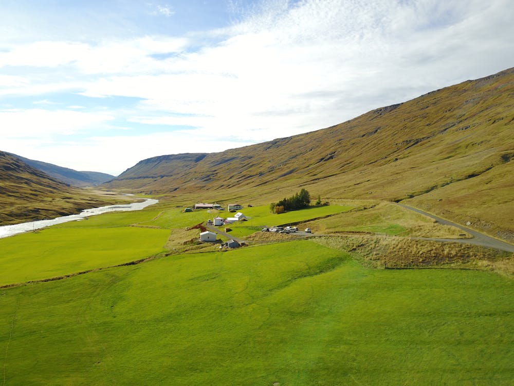
The glacial river of the Fljotsdalur valley has many waterfalls of different sizes and shapes, stretching from farms by the edge of the highlands up to the Ramsar protected wetlands of Eyjabakkar. It takes you about 6 hours to walk this route by the river which in many places runs through a deep canyon.
- •
- •
- •
- •
- •
Description
The Wilderness Center is a good starting point and on the way is a natural birch forest, an ideal resting place. You can expect to see reindeer or maybe an arctic fox. When you reach the plateau it is ideal to drop by the highland hostel at Laugarfell and relax in the natural hot springs.
You can also start at Laugarfell and work your way downhill towards the Wilderness Center. The choice is yours.
Difficulty
Difficult
Hiking trails where obstacles such as rocks or roots are prevalent. Some obstacles can require care to step over or around. At times, the trail can be worn and eroded. The grade of the trail is generally quite steep, and can often lead to strenuous hiking.
Medium Exposure

The trail contains some obstacles such as outcroppings and rock which could cause injury.
Remoteness

Little chance of being seen or helped in case of an accident.
Best time to visit
Features
- Picturesque
- Dog friendly
- Family friendly