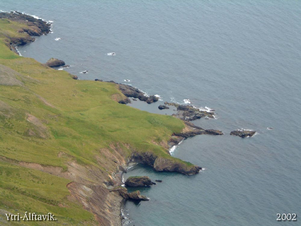
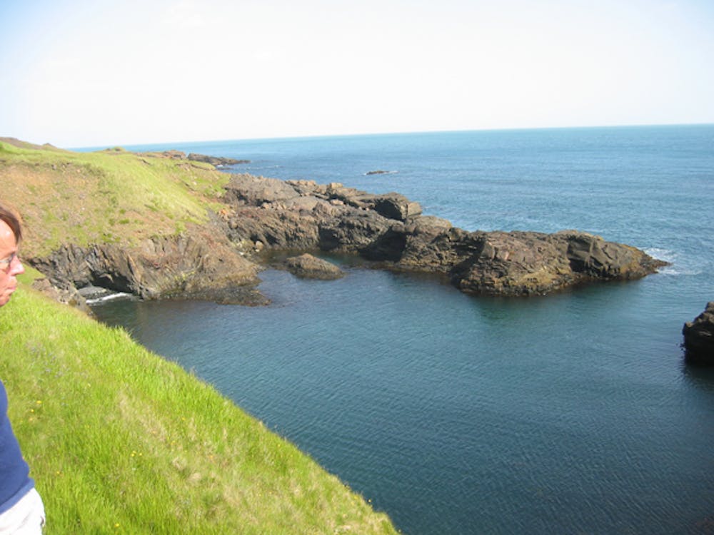
Ytri-Álftavík - Víknaslóðir
Old farm at the edge of the world
Hiking Severe
- Distance
- 5.6 km
- Ascent
- 353 m
- Descent
- 456 m
- Duration
- 1-2 hrs
- Low Point
- 27 m
- High Point
- 391 m
- Gradient
- 15˚

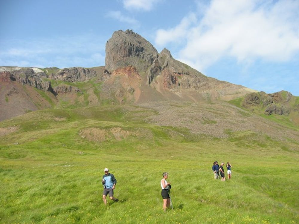
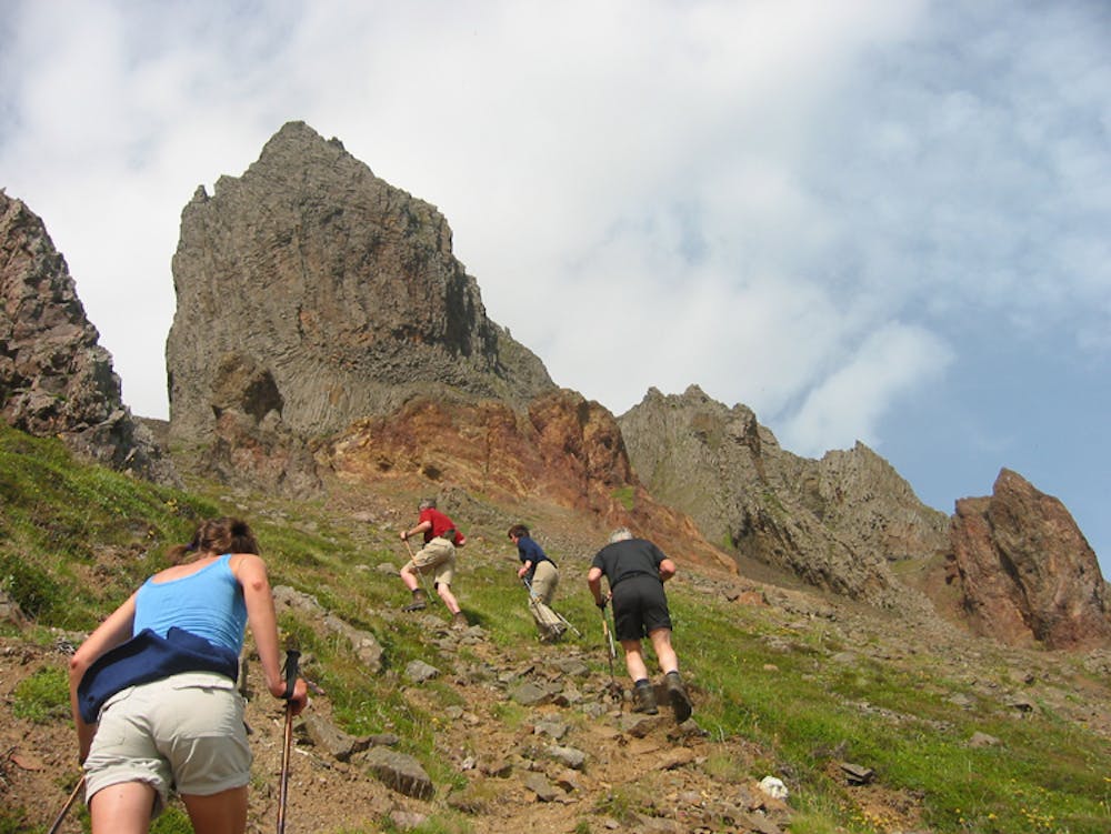
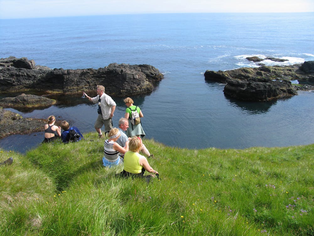
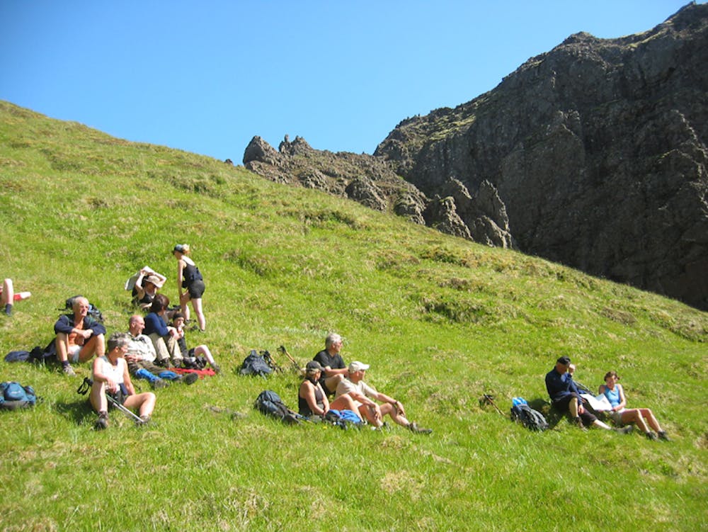
One leaves from the Húsavík hut (65°23.68-13°44.12), walking on the mountain slopes till nearing the coast and crossing over Álftavíkureggjar ridge, where the choice is between a single-width trail or a narrow, steep cleft (65°23.45-13°40.15) to descend into a shallow valley above Álftavík. Going over the ridge is not for those afraid of heights, and the continuation to the inlet ruins (65°23.00- 13°39.54) is also a rather steep drop of 350 m. Álftavík farm was abandoned in 1904. This trail is unmarked and can be extremely treacherous in foggy conditions. Attempt only with a GPS track or a capable guide.

- •
- •
- •
- •
- •
- •
- •
Difficulty
Severe
Hiking challenging trails where simple scrambling, with the occasional use of the hands, is a distinct possibility. The trails are often filled with all manner of obstacles both small and large, and the hills are very steep. Obstacles and challenges are often unexpected and can be unpredictable.
Extreme Exposure

Some trail sections are extremely exposed where falling will almost certainly result in serious injury or death.
Remoteness
In the high mountains or remote conditions, all individuals must be completely autonomous in every situation.
Best time to visit
Features
- Alpine
- Wildlife
- Historical
- Picturesque
- Summit Hike
- Wild flowers