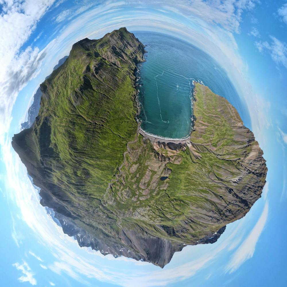
Dyrfjallahlaup - Brúnavík
Dyrfjallahlaup - Styttri leiðin
Trail Running Moderate
- Distance
- 12 km
- Ascent
- 735 m
- Descent
- 729 m
- Duration
- 2-3 hrs
- Low Point
- 6 m
- High Point
- 352 m
- Gradient
- 13˚

This is a popular trail running route which is generally considered to be moderate. It's very remote, it features high exposure and is typically done between May and October. From a low point of 6 m to the maximum altitude of 352 m, the route covers 12 km, 735 vertical metres of ascent and 729 vertical metres of descent.
Description
Ein vinsælsta gönguleið Austurlands
Difficulty
Moderate
High Exposure

Some trail sections have exposed ledges or steep ascents/descents where falling could cause serious injury.
Remoteness
Little chance of being seen or helped in case of an accident.