Dyrfjallahlaup - Víknaslóðir
Dyrfjallahlaup - Ný leið um Víknaslóðir
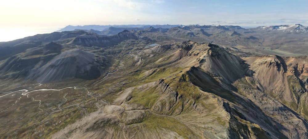
Trail Running Moderate
- Distance
- 23 km
- Ascent
- 1.1 km
- Descent
- 1.1 km
- Duration
- 3-4 hrs
- Low Point
- 5 m
- High Point
- 445 m
- Gradient
- 13˚

This is a popular trail running route which is generally considered to be moderate. It's remote, it features high exposure and is typically done between June and September. From a low point of 5 m to the maximum altitude of 445 m, the route covers 23 km, 1076 vertical metres of ascent and 1132 vertical metres of descent.
Description
Dyrfjallahlaup - Víknaslóðir
Difficulty
Moderate
High Exposure

Some trail sections have exposed ledges or steep ascents/descents where falling could cause serious injury.
Remoteness

Away from help but easily accessed.