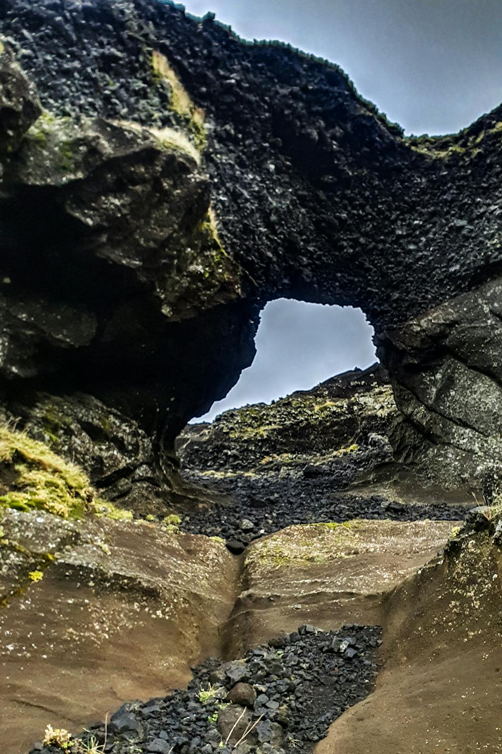
Helgafell throught the stone arch
A loop up the mountain Helgafell
Hiking Difficult
- Distance
- 8.3 km
- Ascent
- 394 m
- Descent
- 396 m
- Duration
- 2-3 hrs
- Low Point
- 69 m
- High Point
- 334 m
- Gradient
- 14˚

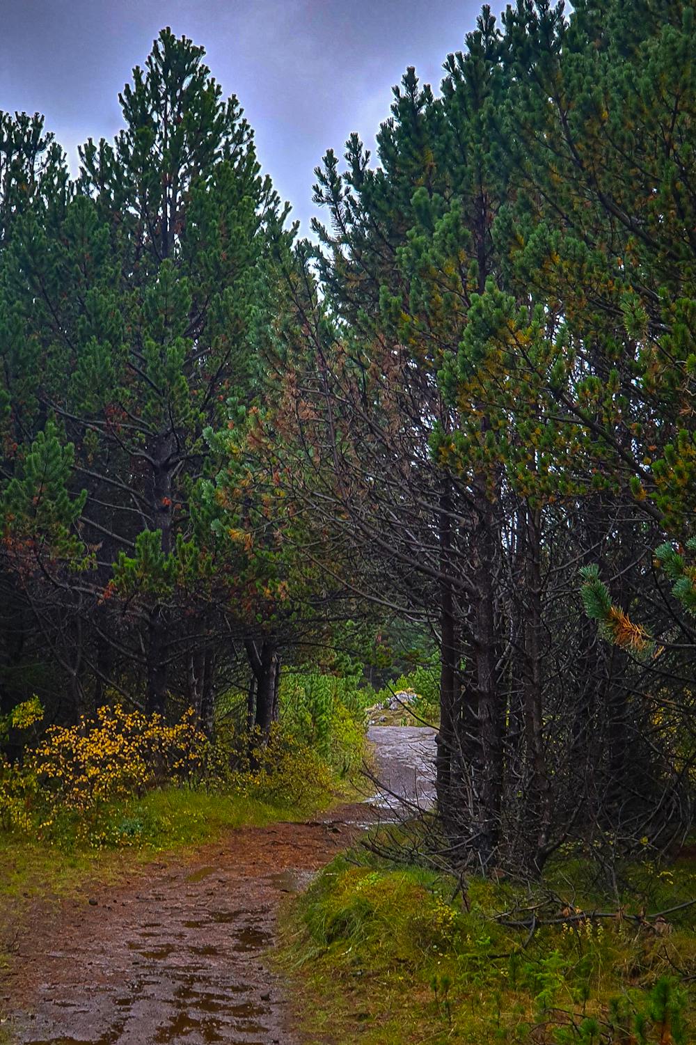
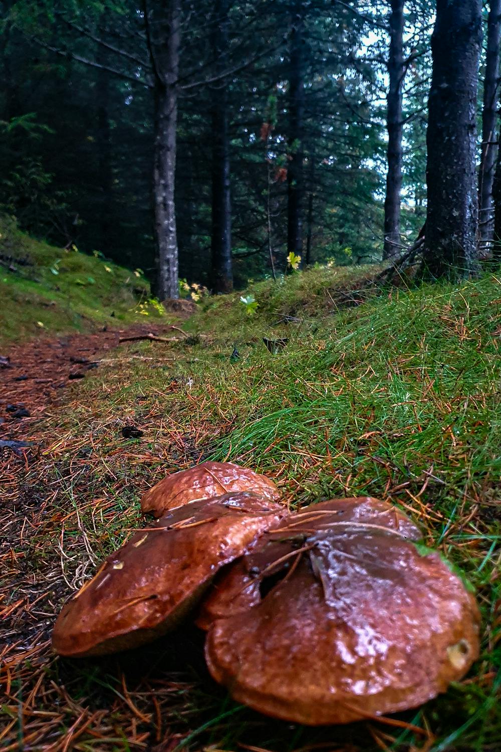
First part of the route is flat and goes through a small wooded area. This part of the trail is very well maintained and easy to follow.
- •
- •
- •
- •
- •
Description
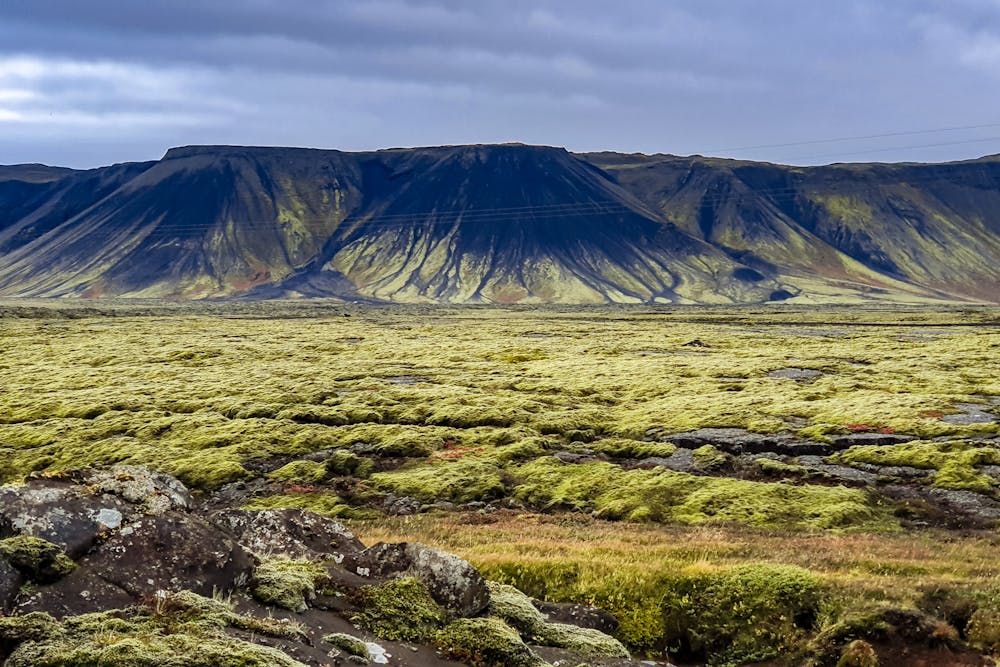
The route then goes up and into a lava field, here the trail is less obvious and easy to loose.
The route goes around the mountain and goes up around the back side. This part is quite steep and not much of a trail. Once you get to the stone arch there is some scrambling required. This part of the route is the hardest part due to scrambling and steep rocky terrain.
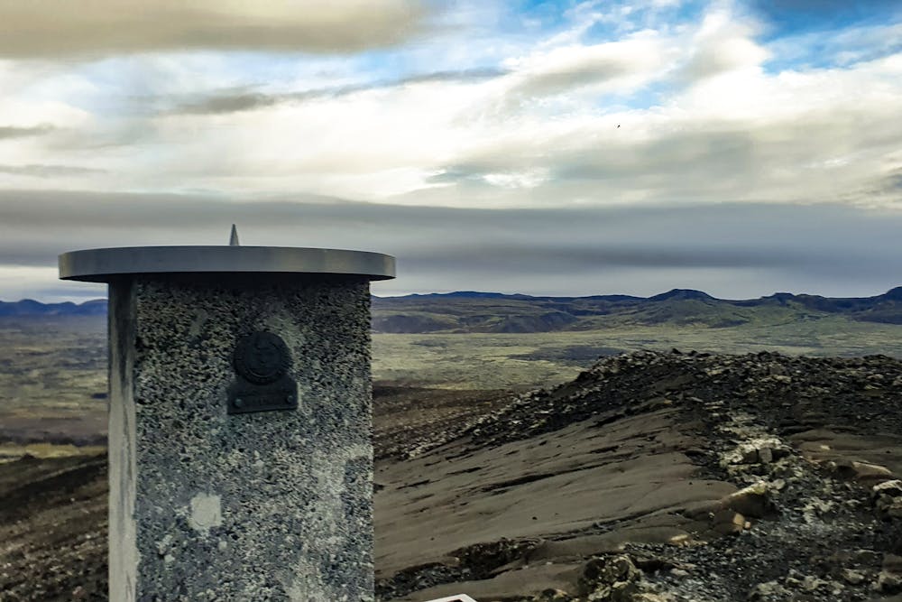
Once at the top, the common trail is taken down Helgafell. This is the route most take when going up Helgafell.
Difficulty
Difficult
Hiking trails where obstacles such as rocks or roots are prevalent. Some obstacles can require care to step over or around. At times, the trail can be worn and eroded. The grade of the trail is generally quite steep, and can often lead to strenuous hiking.
High Exposure

Some trail sections have exposed ledges or steep ascents/descents where falling could cause serious injury.
Remoteness

Away from help but easily accessed.
Best time to visit
Features
- Summit Hike
- Forestry or heavy vegetation