Bharatpur to Yunam Base Camp
Beginner friendly hike
Hiking Difficult
- Distance
- 1.8 km
- Ascent
- 466 m
- Descent
- 11 m
- Duration
- 1-2 hrs
- Low Point
- 4.7 km
- High Point
- 5.2 km
- Gradient
- 20˚

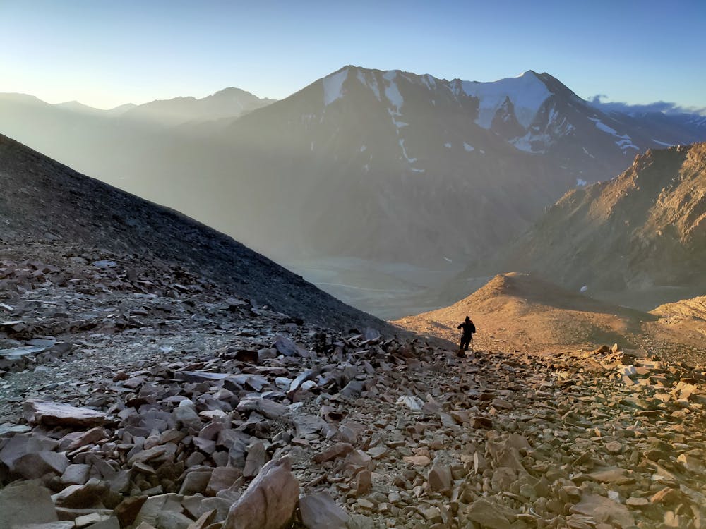
There are two start points to start with.The marked one on this map does not require crossing while the other one which starts before the bridge between Bharatpur Tent colony and Kilingsarai does need during 13:00-18:00IST.The river crossing shall need equipments to cross and the water is freezing in these altitudes.The start on this route is negotiating fair bit of gradient and gradually drops is easier before a traverse which shall lead you to a small gully ascending a bit of stepp hike again.The terrain is mixed of moraine and scanty vegetation.Snowfall on the route shall take double the time needed to scramble with care on wet surfaces. September being the best season for hikers.October shall see more windchill while June-Aug might have snowy conditions.
Difficulty
Difficult
Hiking trails where obstacles such as rocks or roots are prevalent. Some obstacles can require care to step over or around. At times, the trail can be worn and eroded. The grade of the trail is generally quite steep, and can often lead to strenuous hiking.
Low Exposure

The path is on completely flat land and potential injury is limited to falling over.
Remoteness

Away from help but easily accessed.
Best time to visit
Features
- Picturesque
- Dog friendly
- Water features
- Family friendly