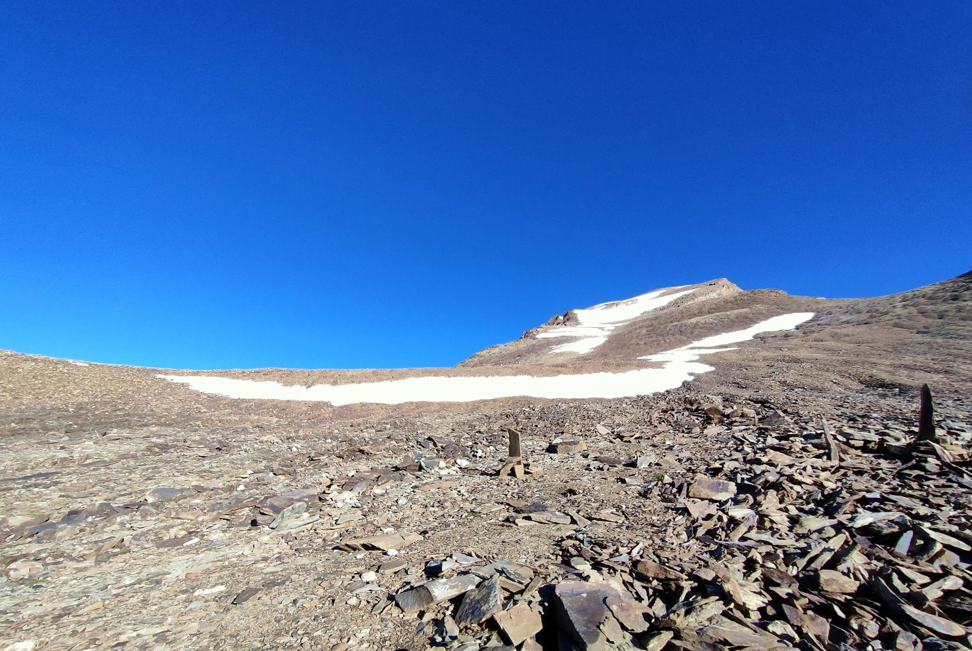
Buran Pass

The high passes of the Himalayas have been used throughout centuries by the trans-migratory Gaddi shepherds herding their flocks over to greener pastures.
Difficult Hiking
- Distance
- 30 km
- Ascent
- 2.1 km
- Descent
- 3 km
Go hiking in Himachal Pradesh with curated guides of the best hikes across the region. With over 6 3D trail maps in FATMAP, you can easily discover and navigate the best trails in Himachal Pradesh.
No matter what your next adventure has in store, you can find a guide on FATMAP to help you plan your next epic trip.
Get a top hiking trail recommendation in Himachal Pradesh, or get inspired by the 6 local adventures uploaded by the FATMAP community. Start exploring now!
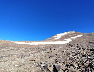
The high passes of the Himalayas have been used throughout centuries by the trans-migratory Gaddi shepherds herding their flocks over to greener pastures.
Difficult Hiking

go up, set up camp enjoy and come back next day
Moderate Hiking

Mt. Friendship Peak, a breathtaking mountain, at an altitude of 5289 m (17352 ft), is a part of the Pir Panjal range, in Kullu District of Himachal Pradesh.
Difficult Hiking

Hampta Pass Trek is a beautiful and moderate crossover trek from Kullu to Lahaul valley.
Moderate Hiking
Summit Push.Time to hike shall depend from 3-5hrs depending upon precedent acclimatisation to heights
Extreme Hiking
Beginner friendly hike
Difficult Hiking