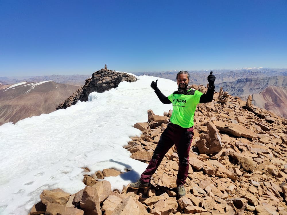
Yunam Base Camp to Summit
Summit Push.Time to hike shall depend from 3-5hrs depending upon precedent acclimatisation to heights
Hiking Extreme
- Distance
- 2.5 km
- Ascent
- 921 m
- Descent
- 0 m
- Duration
- 2-3 hrs
- Low Point
- 5.2 km
- High Point
- 6.1 km
- Gradient
- 23˚

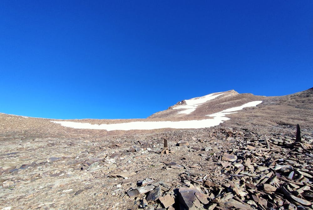
A mix of steep and tiny sections of flat climbs all throughout the moraines.On one side a huge glacier and towering Himachal peaks view and on the other approach road and rivulet drainage view to complete the panorama. A 6-8m 5degree gradient glacier crossing can be done by cutting steps or carefully probing and firm footing without crampons is possible. Don't expect mercy with the incline and no compromise with focus while scrambling to and fro in this terrain.Windchill and wind speed will have dominant coverage almost throughout the route. If snowy conditions prevail,it shall add to your time and energy. Preferable to hike during September and Early October in clear weather and less snow cover duration.June-Aug is very fluctuating with respect to weather and also a challenge to reach the roadhead Bharatpur, start point of trek.
- •
- •
Difficulty
Extreme
Scrambling up mountains and along technical trails with moderate fall exposure. Handholds are necessary to navigate the trail in its entirety, although they are not necessary at all times. Some obstacles can be very large and difficult to navigate, and the grades can often be near-vertical. The challenge of the trail and the steepness of the grade results in very strenuous hiking. Hikes of this difficulty blur the lines between "hiking" and "climbing".
High Exposure

Some trail sections have exposed ledges or steep ascents/descents where falling could cause serious injury.
Remoteness

Away from help but easily accessed.
Best time to visit
Features
- Picturesque
- Dog friendly