Katarnag Lakes
Katarnag I & II Lakes Aru PGM
Hiking Difficult
- Distance
- 8.2 km
- Ascent
- 1.4 km
- Descent
- 23 m
- Duration
- 4-5 hrs
- Low Point
- 2.4 km
- High Point
- 3.8 km
- Gradient
- 24˚

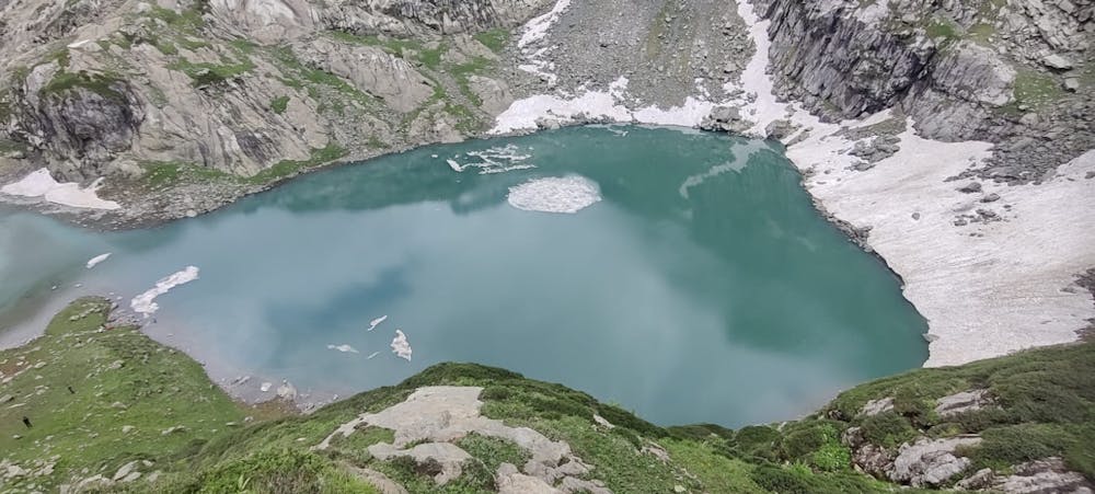
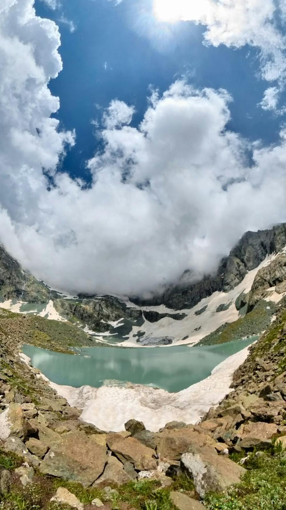
Katarnag lakes are the high altitude alpine lakes located around 9 kms from the picturesque Aru Valley Pahalgam. The trek starts from Aru Camping site and takes you to the lush green beautiful meadows and tall pine trees. The trail takes you to the Kootapathri and Gashangan hamlets of the upper reaches of Aru. The gradual increase takes you to the Camping site of Katarnag. The trek then goes further steep towards the Katarnag-I lake along the Girwar stream on your left. The Katarnag-II has an elevation of 3850meters ASL.
- •
- •
Difficulty
Difficult
Hiking trails where obstacles such as rocks or roots are prevalent. Some obstacles can require care to step over or around. At times, the trail can be worn and eroded. The grade of the trail is generally quite steep, and can often lead to strenuous hiking.
Medium Exposure

The trail contains some obstacles such as outcroppings and rock which could cause injury.
Remoteness
Away from help but easily accessed.
Best time to visit
Features
- Alpine
- Picturesque
- Summit Hike
- Water features
- Forestry or heavy vegetation