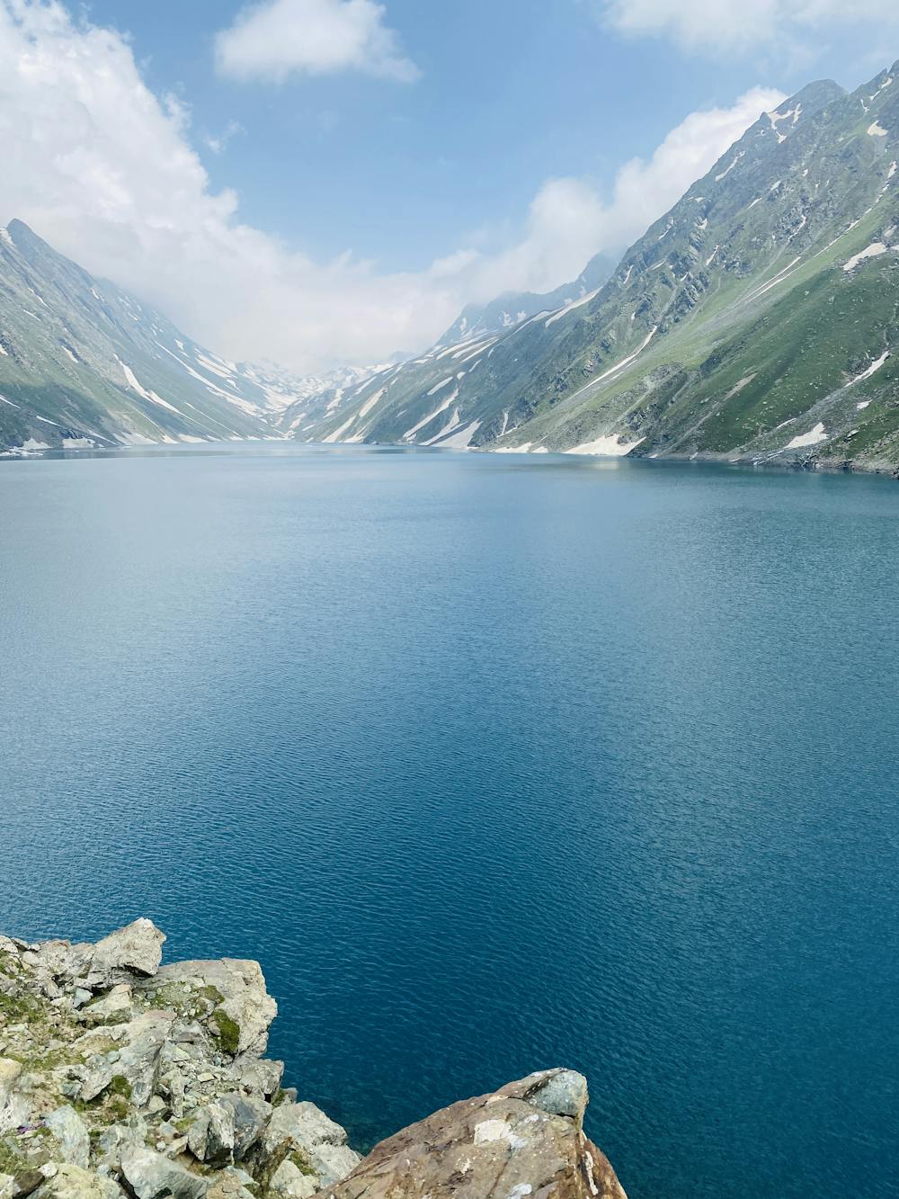
Kaunsarnag Lake
A day trek exploring Kaunsarnag lake.(@7milesawayy)
Hiking Moderate
- Distance
- 17 km
- Ascent
- 1.4 km
- Descent
- 168 m
- Duration
- 5-6 hrs
- Low Point
- 2.3 km
- High Point
- 3.5 km
- Gradient
- 14˚

This is a popular hiking route which is generally considered to be moderate. It's remote, it features low exposure and is typically done between June and November. From a low point of 2.3 km to the maximum altitude of 3.5 km, the route covers 17 km, 1356 vertical metres of ascent and 168 vertical metres of descent.
Description
Trek starting from Aharbal.
Difficulty
Moderate
Hiking along trails with some uneven terrain and small hills. Small rocks and roots may be present.
Low Exposure

The path is on completely flat land and potential injury is limited to falling over.
Remoteness

Away from help but easily accessed.
Best time to visit
Features
- Alpine
- Picturesque
- Water features