40 m away
Kedar Tar Trail Run
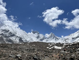
Another excellent acclimatization run on the more popular Kedar Tal route.
Moderate Trail Running
- Distance
- 20 km
- Ascent
- 2.2 km
- Descent
- 2.2 km

The big trek of the region! And access to the big mountains of Uttarakhand.
Trail Running Moderate

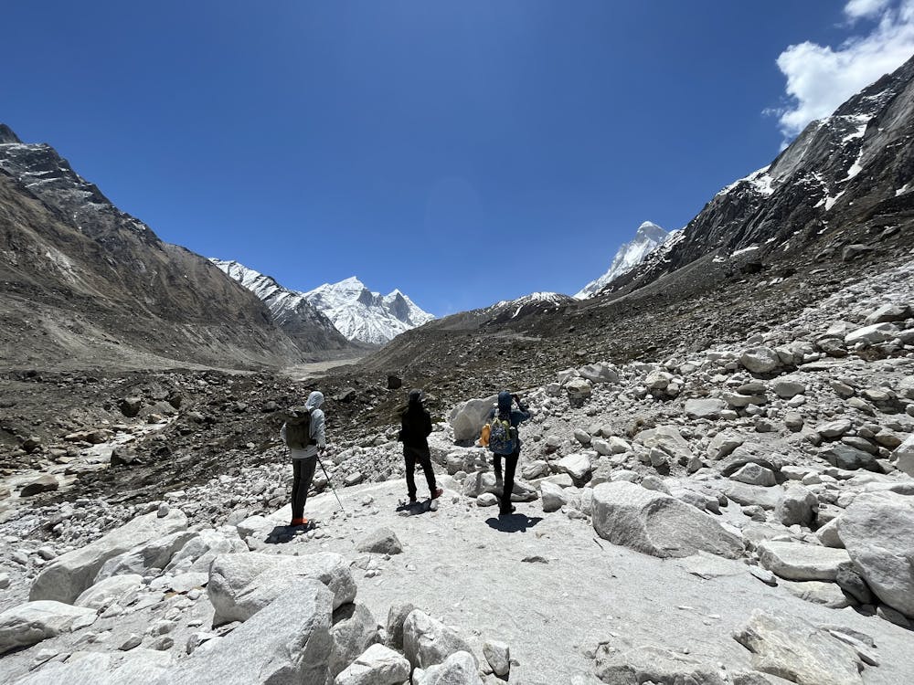
The trek from Gangotri to the Gaumukh ice caves and Tapovan Meadows is very popular with many groups doing over one or several days.
A permit is required to pass the forest ranger station just up valley of Gangotri.
The trail is well maintained as it is a major source of tourism for the region. It's wide and relatively smooth! Climb gradually out of the trees to Chirbasa, a small group of trees with a transient village. This is a common camp spot for parties taking their time.
The trail gets much more exposed to sun between Chirbasa and Bhojwasa, another small village with a few more permanent structures. You also pass several rockfall zones that do frequently shed rocks (not somewhere I'd like to be during a rainstorm) so move quickly through these! Rest areas are specifically marked to protect pilgrims.
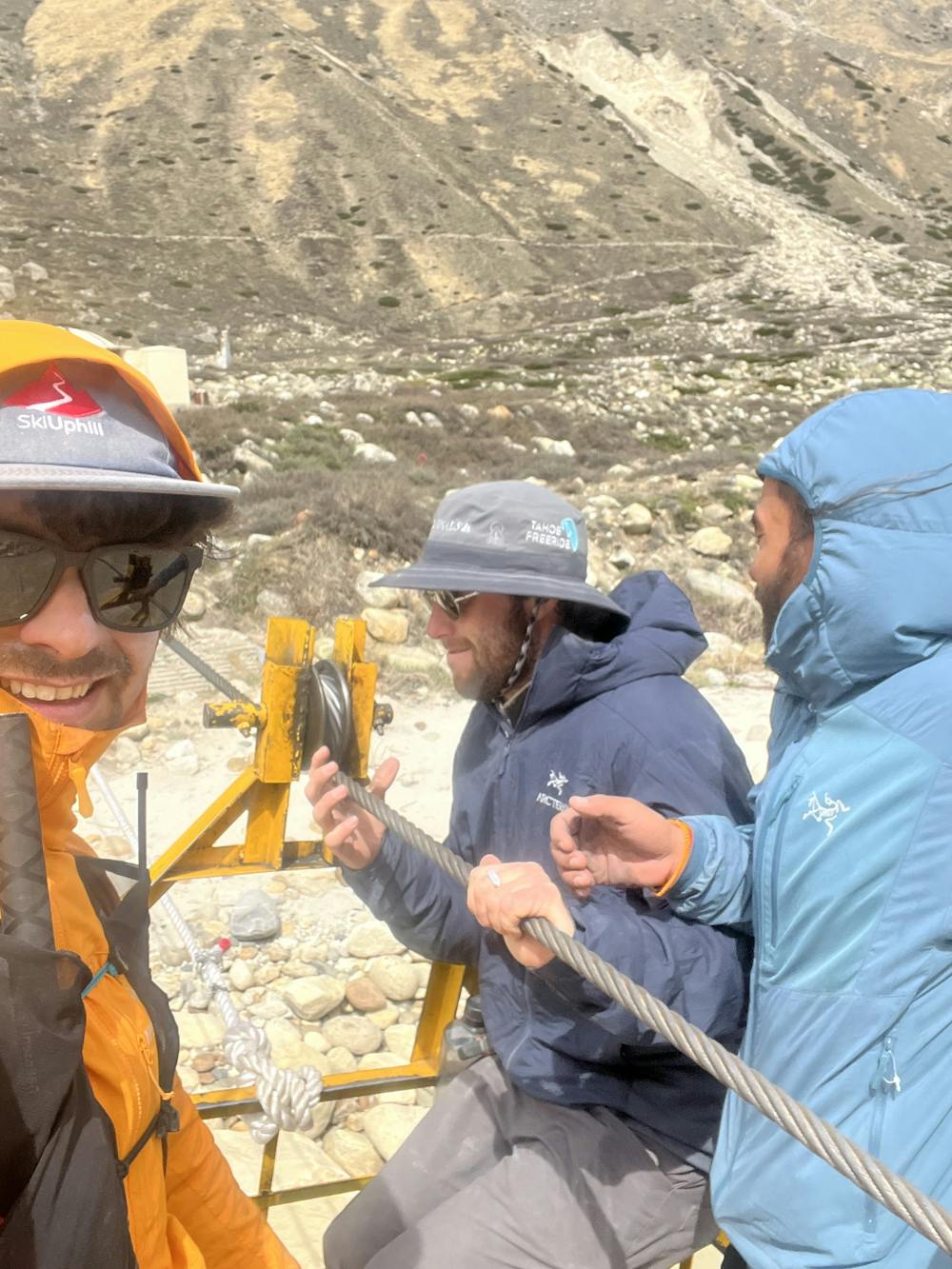
In 2022, the trail deviated from previous years at Bhojwasa. Rather than staying on the same side of the Bhagirati River, it crosses to the other side on a 3-person cable car. The car has a haul rope so can be operated solo in either direction. From here, the trail picks back up-valley towards the Gaumukh Ice Caves - the terminus of the Gangotri which has receded more than 15km in the last 200 years!
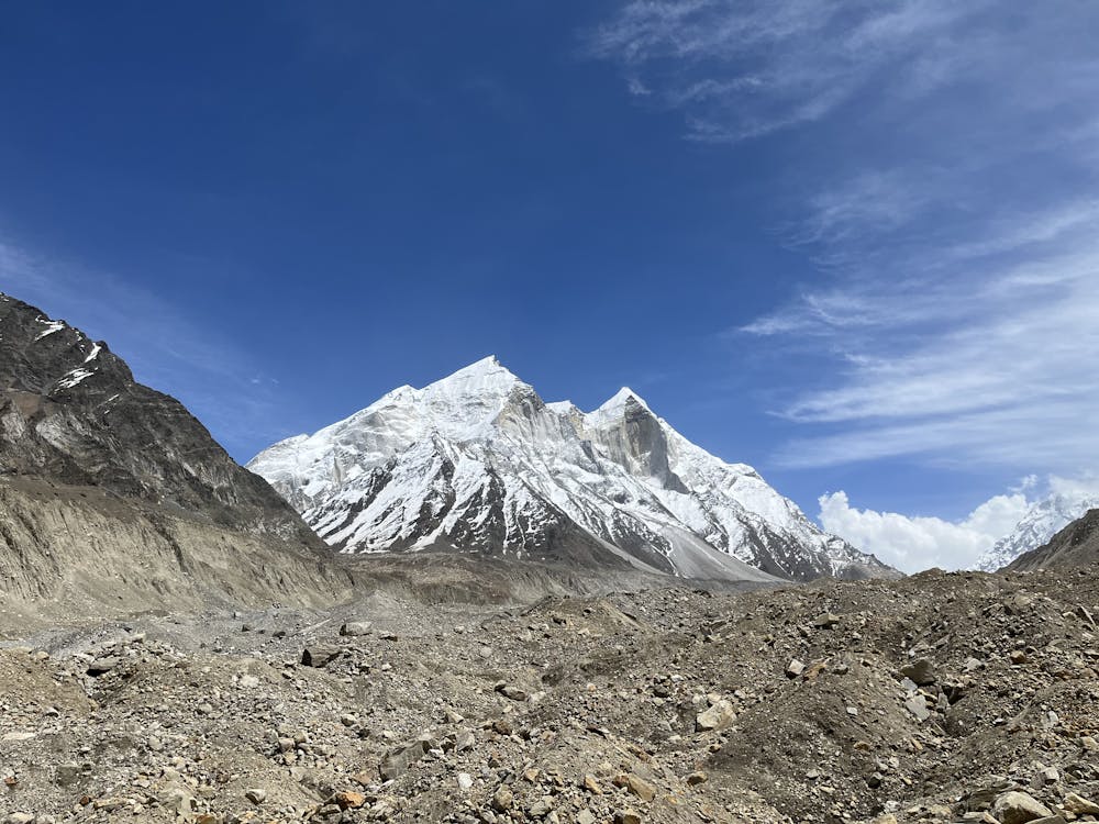
It's possible to climb up onto the Gangotri Glacier from either side of the ice caves to reach a steep moraine slope that gives access to Tapovan Meadows with views of Shivling, Meru, and the Bhagirathi Peaks!
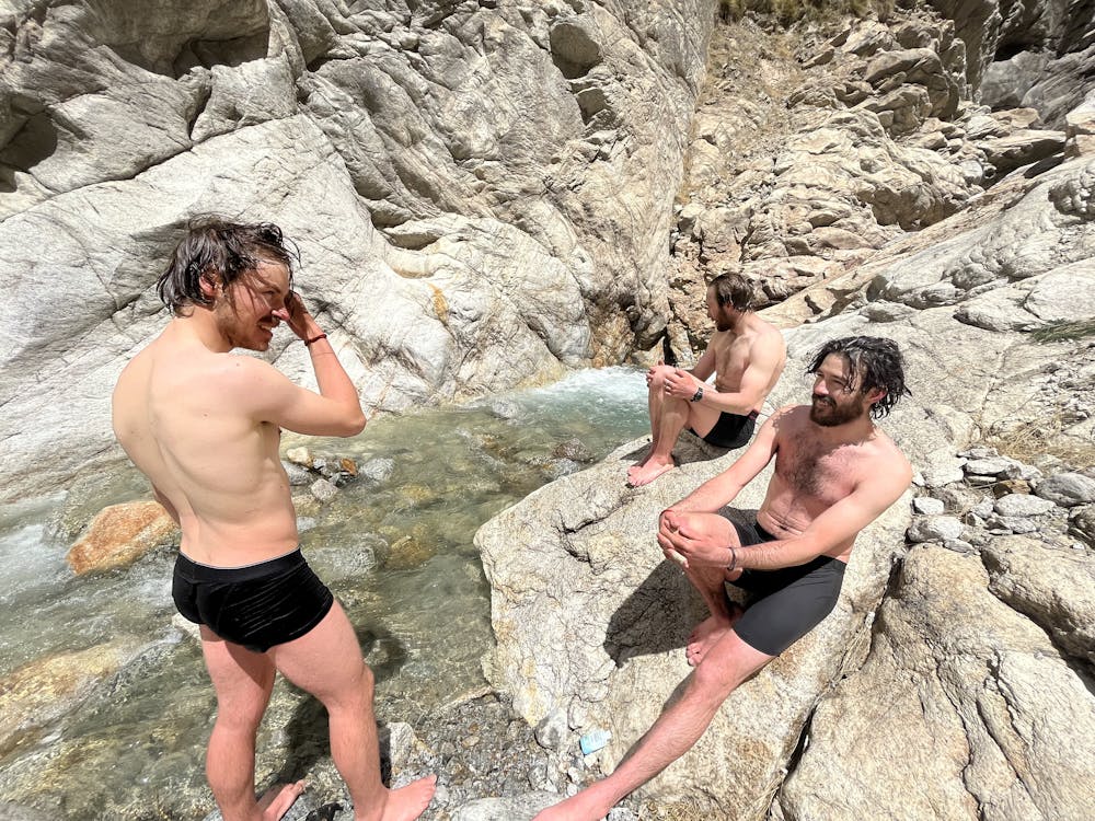
Retrace the route to return to Gangotri and be sure to poke a few hundred meters up the Deo Gad (river) canyon for a nice shower in clean water.
Moderate
40 m away

Another excellent acclimatization run on the more popular Kedar Tal route.
Moderate Trail Running