40 m away
Gangotri to Gaumukh
The big trek of the region! And access to the big mountains of Uttarakhand.
Moderate Trail Running
- Distance
- 20 km
- Ascent
- 1.5 km
- Descent
- 248 m
Another excellent acclimatization run on the more popular Kedar Tal route.
Trail Running Moderate

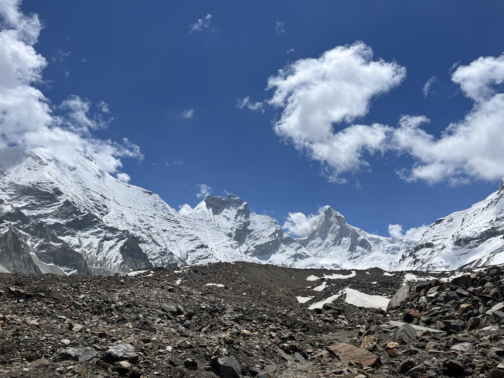
This is a fairly busy trekking route to the basin below Thalay Sagar and the Gangotri Peaks going from the village up to over 4600m.
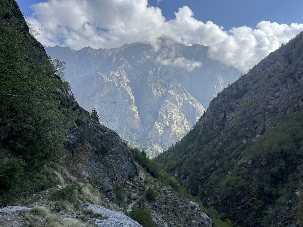
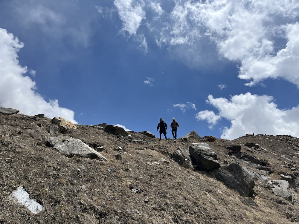
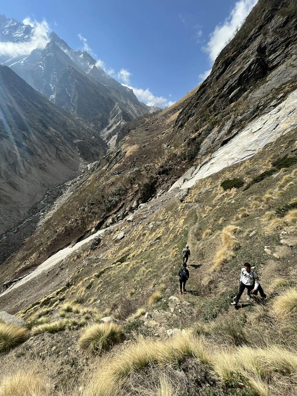
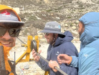
A forest permit is required here but rangers were nowhere to be found, even in high tourist season. From town, climb up behind the power station on trails to gain the Kedar Canyon. Eventually the trails turn into the canyon and follow steep, precipitous routes. It's not terrible going up, but if you're uncomfortable with exposure, the descent might be a but scary!
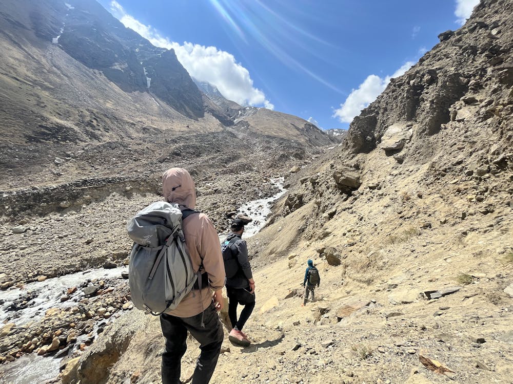
The trail winds it's way up the valley, crossing several steeper sections and finally climbing above tree line. You'll cross several landslides where the trail disappears into loose sand and rubble and a fall into the Kedar River would be bad. Things mellow out as you approach the flats below the glacier and large camp areas appear. Now you can see Thalay Sagar at the head of the valley and hopefully some motivation to continue to the lake!
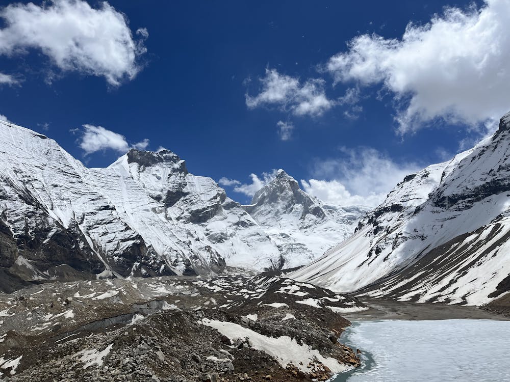
Head onto the rocks at the toe of the glacier and start working up the path. It's well marked so as long as you're generally going in the direction of the lake, follow the best trail you can find. Eventually you find yourself on the dry rock glacier (with ice underneath) and then pop out at the lake - Kedar Tal. The peaks around loom large!
Retrace the route to descend with extra care on the steeper sections!
Moderate

The trail contains some obstacles such as outcroppings and rock which could cause injury.

Little chance of being seen or helped in case of an accident.
40 m away
The big trek of the region! And access to the big mountains of Uttarakhand.
Moderate Trail Running