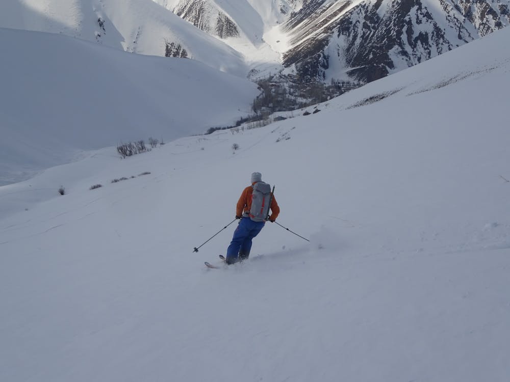
Peak Abbas 3877 from Varangeh Rud near Dizin
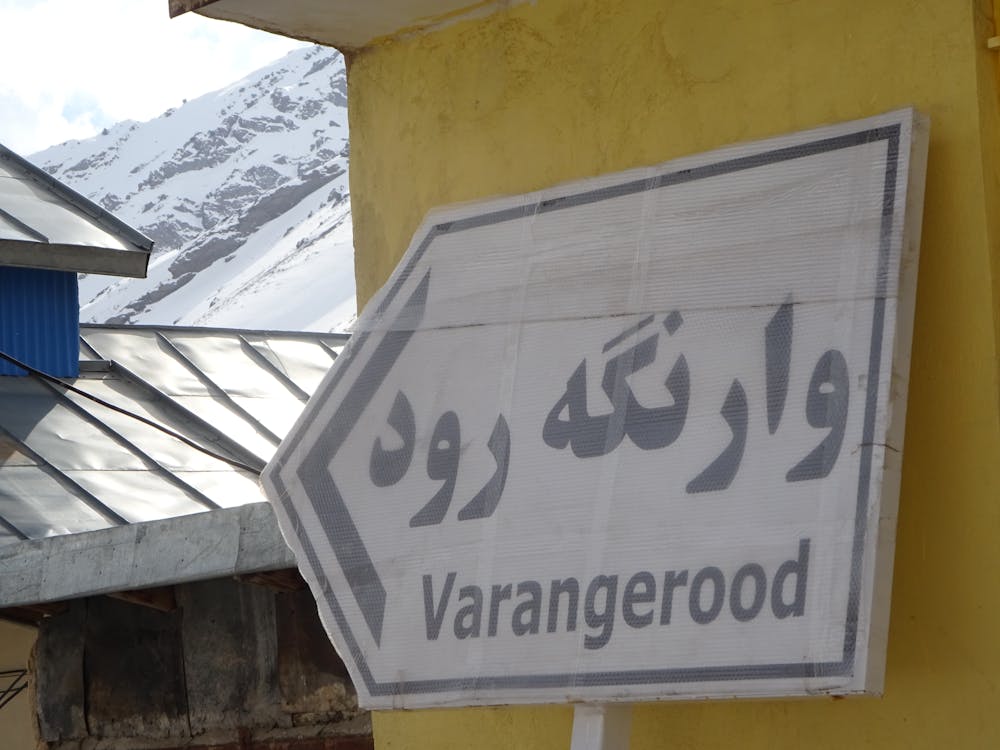
Reach Varangeh Rud 2400 m by car. Follow the Valley fast to the end in East direction. Climb the steep slope to the summit.
Ski Touring Difficult
- Distance
- 5.7 km
- Ascent
- 1.4 km
- Descent
- 0 m
- Duration
- 4-5 hrs
- Low Point
- 2.5 km
- High Point
- 3.8 km
- Gradient
- 36˚

This is a popular ski touring route which is generally considered to be difficult. It's remote, it features medium exposure (e2) and is typically done between February and April. From a low point of 2.5 km to the maximum altitude of 3.8 km, the route covers 5.7 km, 1366 vertical metres of ascent and 0 vertical metres of descent. It's graded 2.3 and Labande grade 3. You'll need skins to complete it safely.
- •
- •
Description
Reach Varangeh Rud 2400 m by car. Follow the Valley fast to the end in East direction. Climb the steep slope to the summit.
Difficulty
Difficult
Serious gradient of 30-38 degrees where a real risk of slipping exists.
Medium Exposure (E2)

As well as the slope itself, there are some obstacles (such as rock outcrops) which could aggravate injury.
Remoteness
Away from help but easily accessed.
Best time to visit
Features
- Ski Mountaineering
Equipment required
- Skins