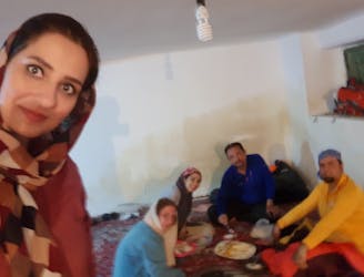
2 Valley Hike to Piche Bon
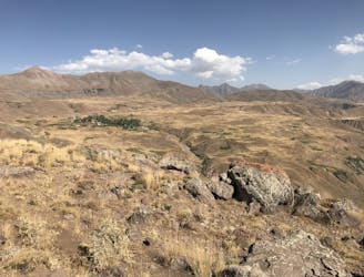
A very accessible, super beautiful day hike in the Alamut Valley.
Difficult Hiking
- Distance
- 12 km
- Ascent
- 1.4 km
- Descent
- 526 m
Explore Mazandaran with curated guides of the best routes. With over 6 3D trail maps in FATMAP, you can easily discover and navigate the best trails in Mazandaran.
No matter what your next adventure has in store, you can find a guide on FATMAP to help you plan your next epic trip.
Get a top trail recommendation in Mazandaran, or get inspired by the 6 local adventures uploaded by the FATMAP community. Start exploring now!
A very accessible, super beautiful day hike in the Alamut Valley.
Difficult Hiking
زیباترین منطقه ای که تجربه کردم
Moderate Hiking

قله اوریم ، نام دیگر این قله سنگر می باشد
Moderate Alpine Climbing
Reach Varangeh Rud 2400 m by car. Follow the Valley fast to the end in East direction. Climb the steep slope to the summit.
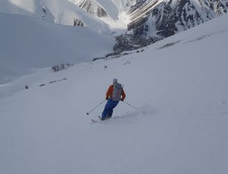
Difficult Ski Touring
آزادکوه از سمت روستای کلاک
Difficult Hiking
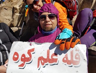
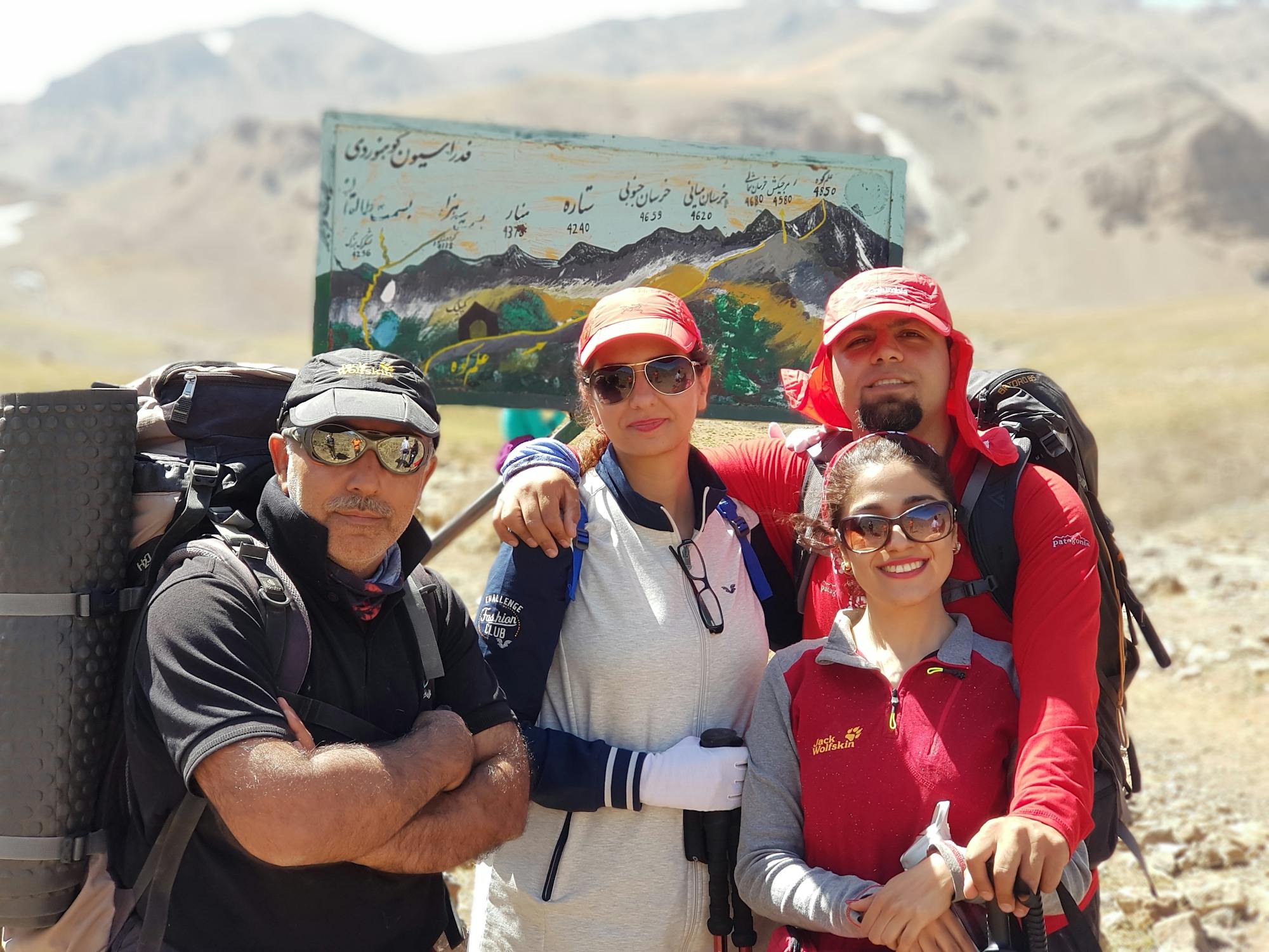
علم کوه دومین قله بلند ایران
Difficult Hiking