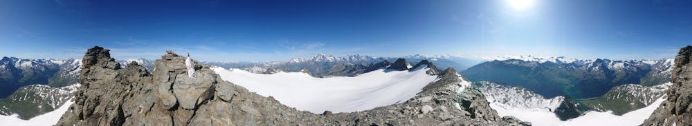
Testa del Rutor by Thierry Vuillermoz
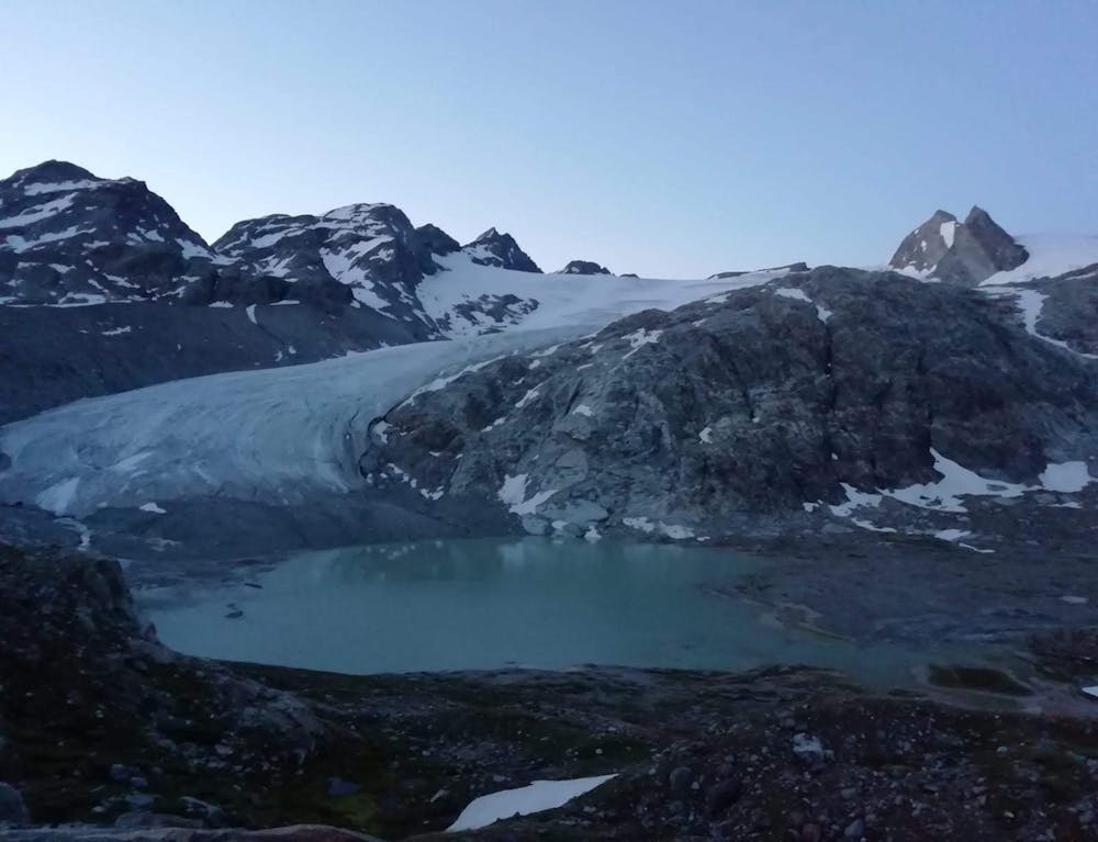
Ghiacciaio del Rutor
Alpine Climbing Moderate
- Distance
- 15 km
- Ascent
- 1.2 km
- Descent
- 1.2 km
- Low Point
- 2.5 km
- High Point
- 3.5 km
- Gradient
- 15˚

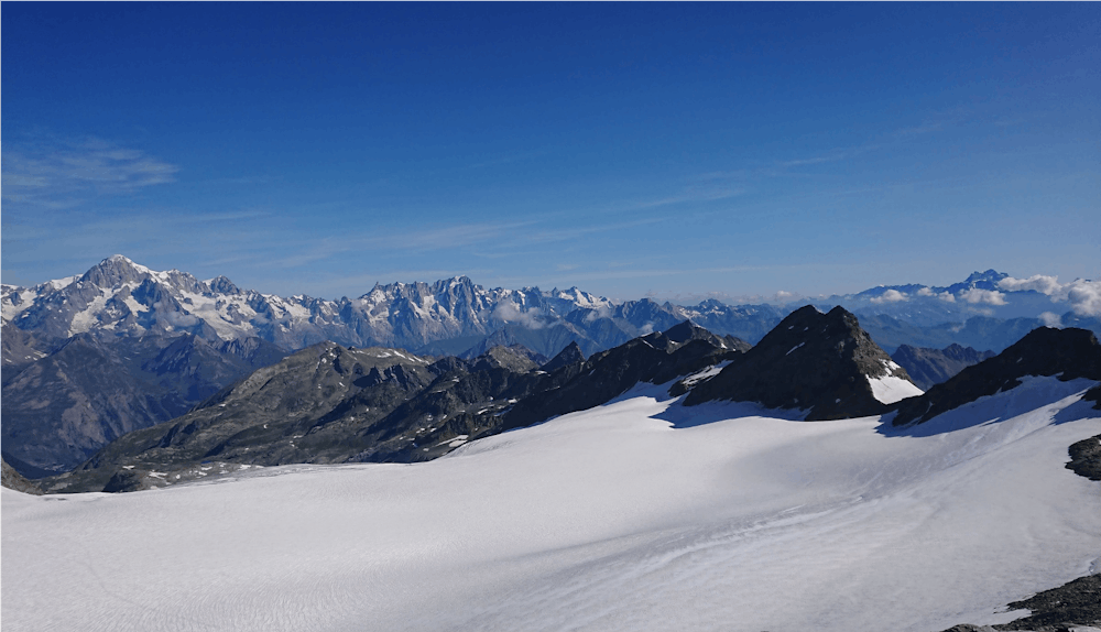
This is a popular alpine climbing route which is generally considered to be moderate. It's remote, it features high exposure and is typically done between June and September. From a low point of 2.5 km to the maximum altitude of 3.5 km, the route covers 15 km, 1189 vertical metres of ascent and 1192 vertical metres of descent. You'll need glacier kit to complete it safely.
- •
- •
- •
Description
Salita alpinistica, alla testa di Rutor, con partenza dal rifugio Defey. La salita non presenta particolari difficolta tecniche, ad eccezione del ghiacciaio molto crepacciato.
Difficulty
Moderate
May involve slightly more complex glacier hikes, easy but possibly long rock ridges and steep snow up to 45 degrees. Equivalent to PD, PD+
High Exposure

Much of the route is difficult to protect and a fall could be disastrous at certain points.
Remoteness

Away from help but easily accessed.
Best time to visit
Equipment required
- Glacier kit