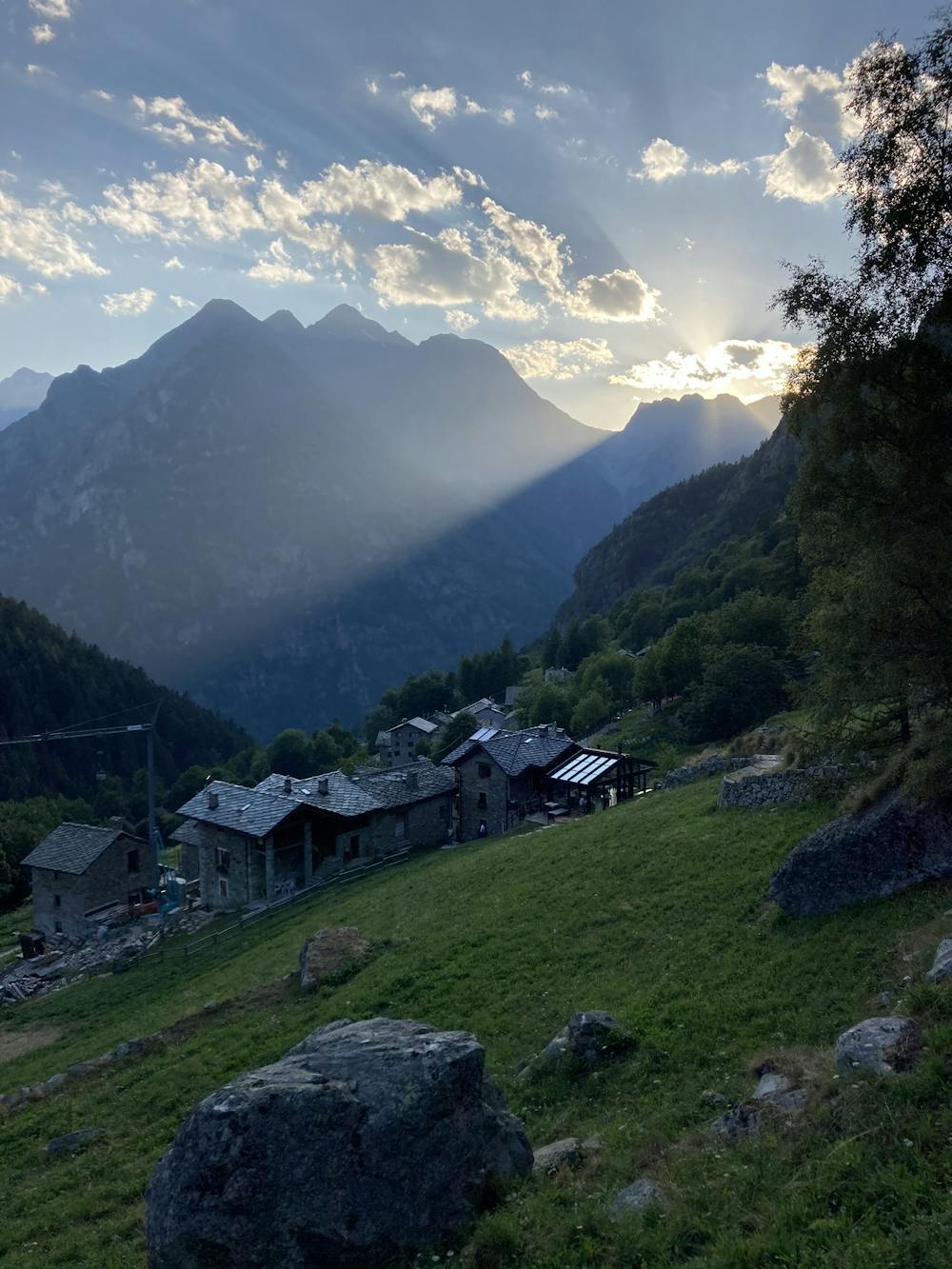
Avvicinamento da Niel al Monte Cossarello
Niel - Monte Cossarello
Hiking Easy
- Distance
- 9.6 km
- Ascent
- 1.1 km
- Descent
- 1.1 km
- Duration
- 3-4 hrs
- Low Point
- 1.5 km
- High Point
- 2.5 km
- Gradient
- 22˚

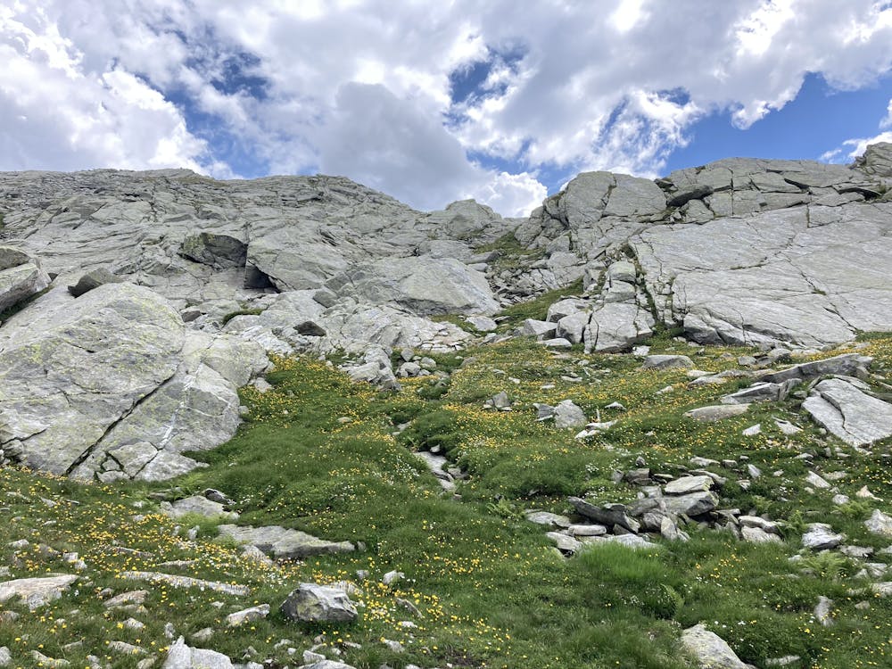
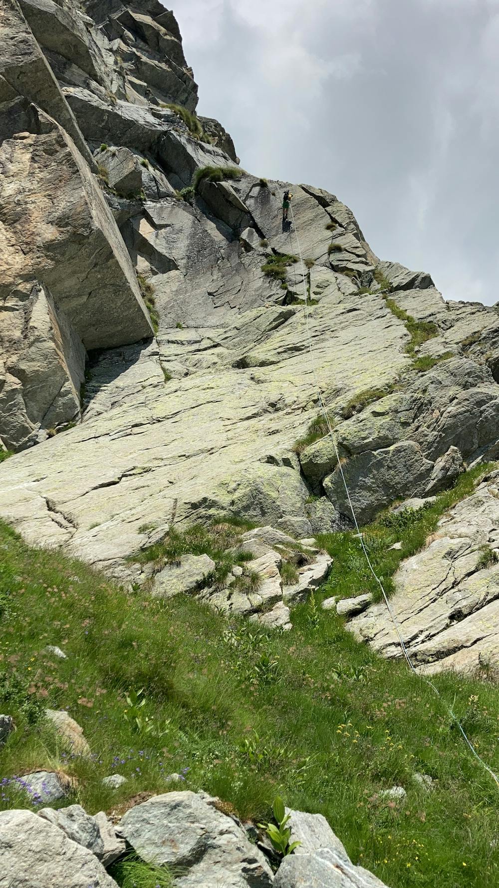
approach to M.te Cossarello from Niel - take the path 6 from Niel to Colle del Lauzenay, then turn right just before going down and keep the ridge until reaching Colle del Loo, then take the steep couloir down to the bottom of Monte Cossarello which is on the left. Percorso fatto come avvicinamento alla bellissima e remota Via Nito Staich
- •
- •
- •
Difficulty
Easy
Walking along a well-kept trail that’s mostly flat. No obstacles are present.
Low Exposure

The path is on completely flat land and potential injury is limited to falling over.
Remoteness

Away from help but easily accessed.
Best time to visit
Features
- Alpine
- Historical
- Picturesque
- Dog friendly
- Wild flowers