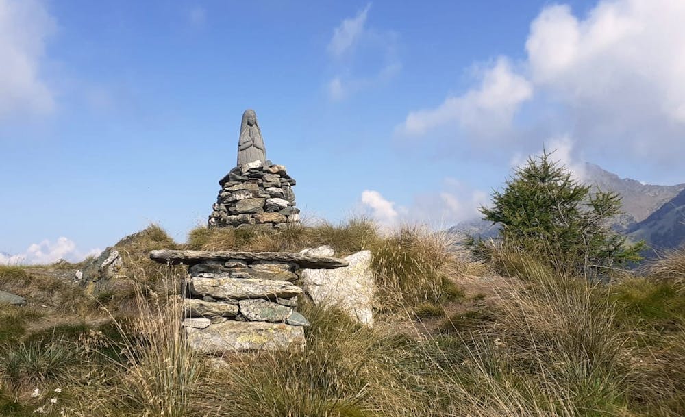
Croix Courma tour
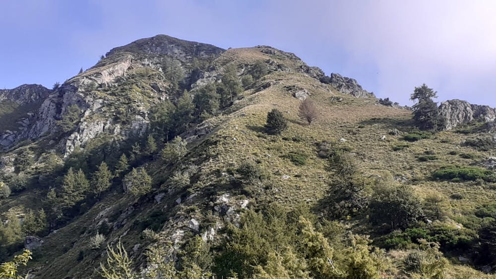
Starting from Perloz it climbs until TV Antennas and then without path to the top. Tour continue to Col Finestra and down to Perloz
Hiking Moderate
- Distance
- 15 km
- Ascent
- 1.4 km
- Descent
- 1.4 km
- Duration
- 5-6 hrs
- Low Point
- 646 m
- High Point
- 2 km
- Gradient
- 17˚

This is a popular hiking route which is generally considered to be moderate. It's not remote, it features low exposure and is typically done between May and October. From a low point of 646 m to the maximum altitude of 2 km, the route covers 15 km, 1378 vertical metres of ascent and 1376 vertical metres of descent.
- •
- •
- •
- •
- •
Description
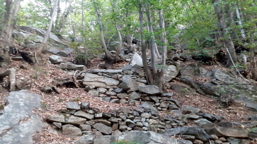
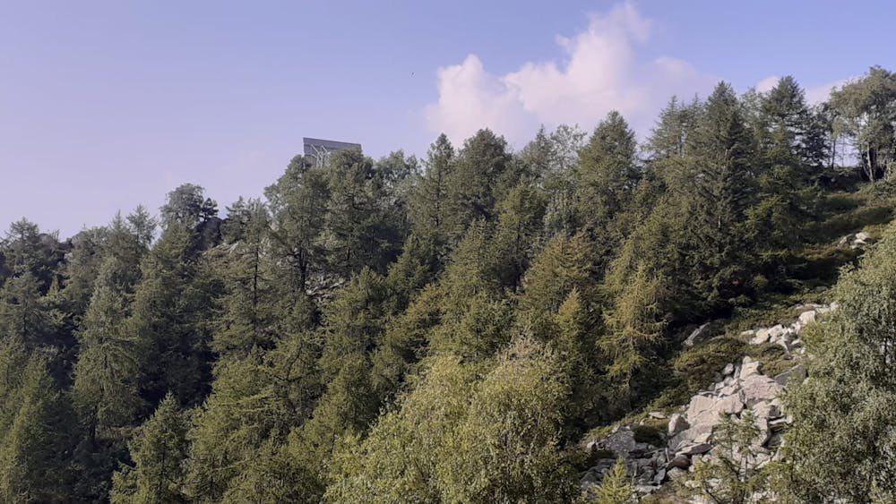
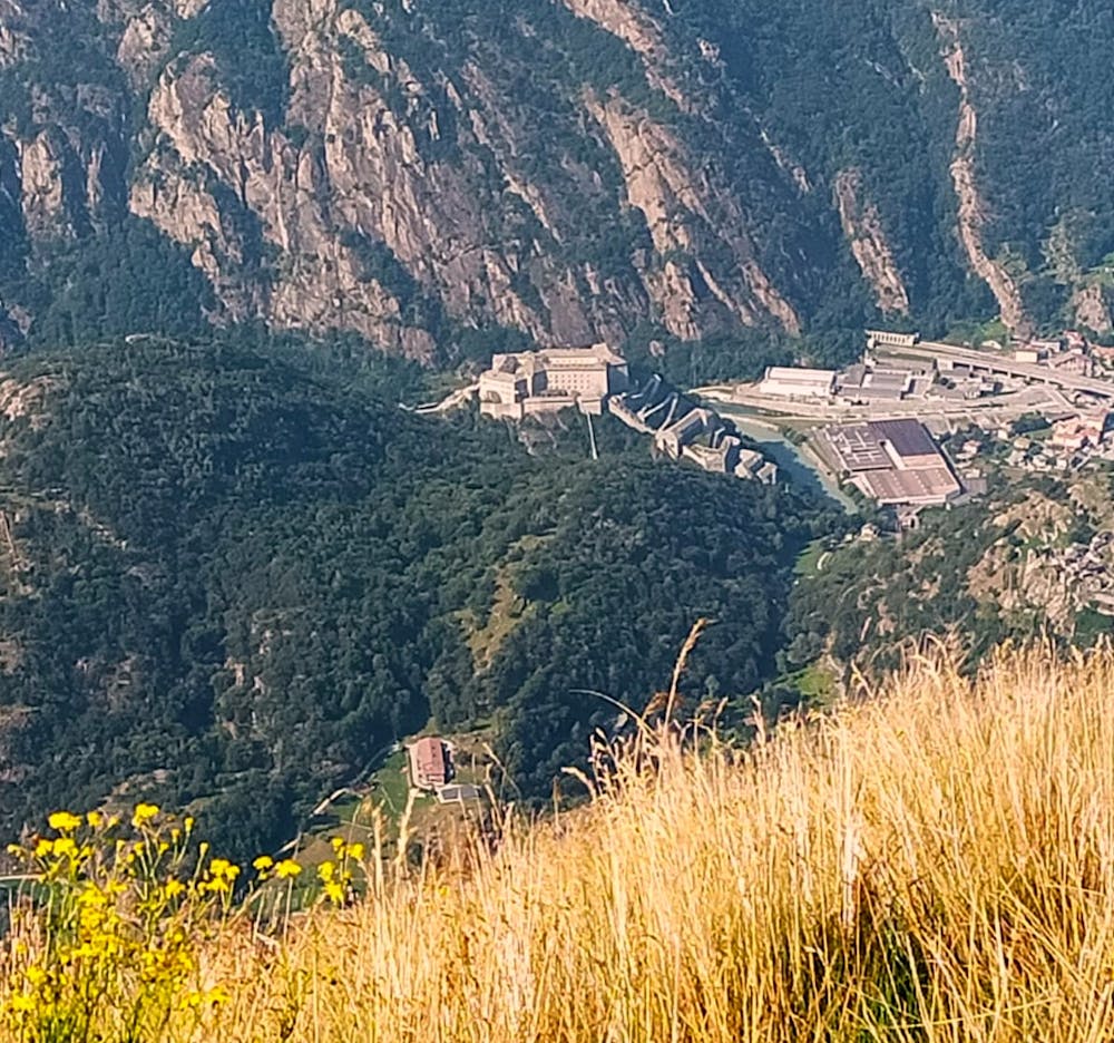
From Perloz path rise straight to Beauby where different TV antennas are located. Chestnut trees wood are quite solid and sometimes path became invisible
Difficulty
Moderate
Hiking along trails with some uneven terrain and small hills. Small rocks and roots may be present.
Low Exposure

The path is on completely flat land and potential injury is limited to falling over.
Remoteness
Close to help in case of emergency.
Best time to visit
Features
- Picturesque
- Summit Hike
- Forestry or heavy vegetation