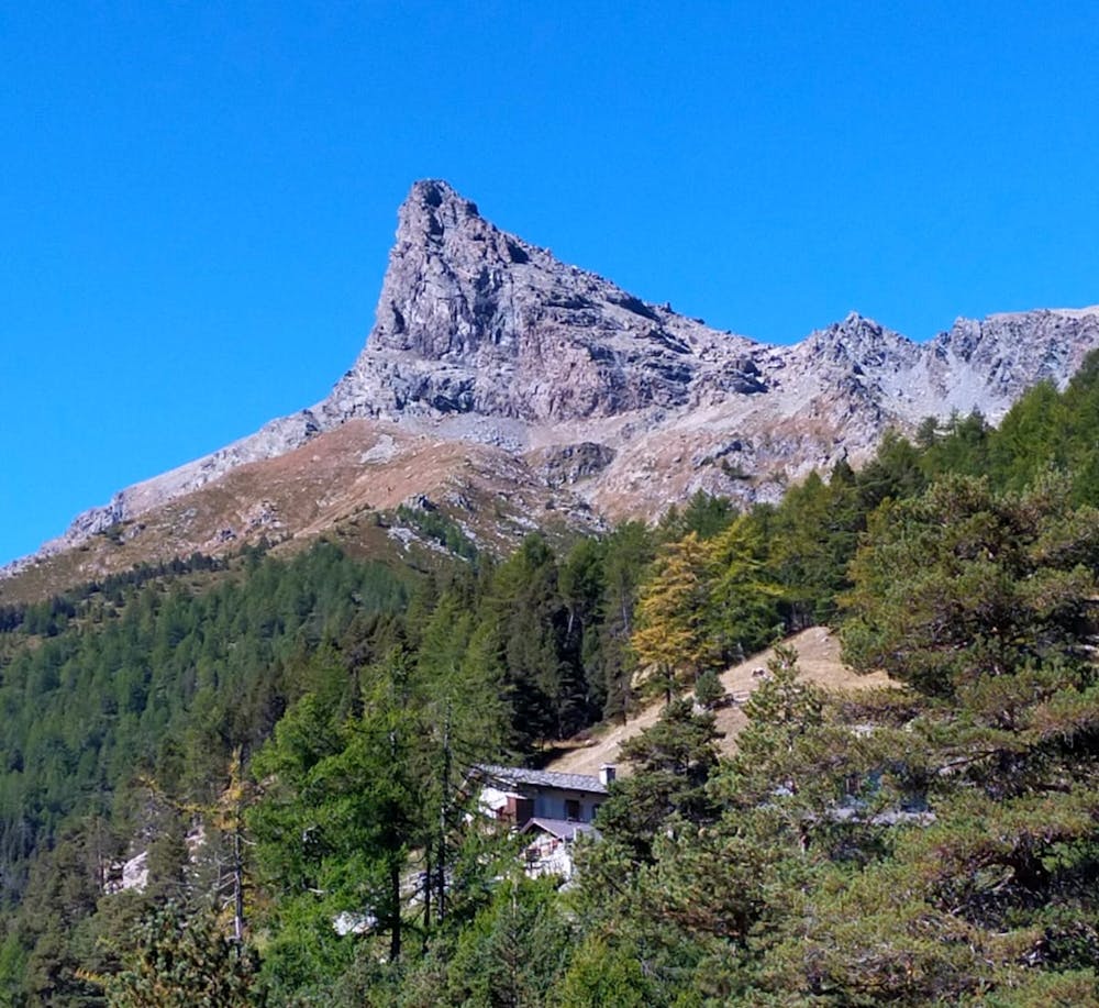
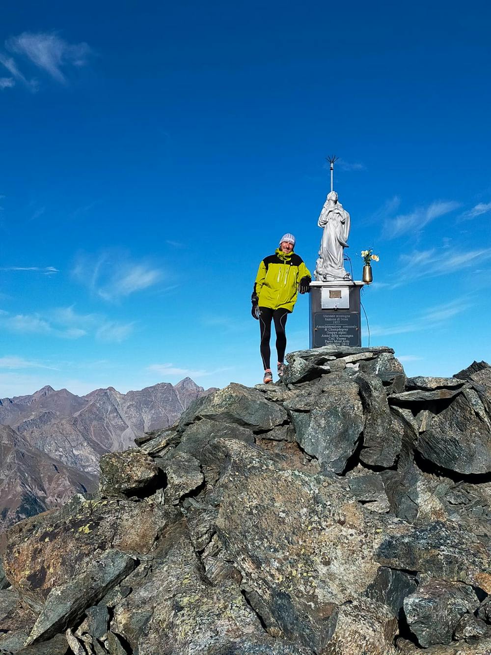
Monte Avic dal colle NE
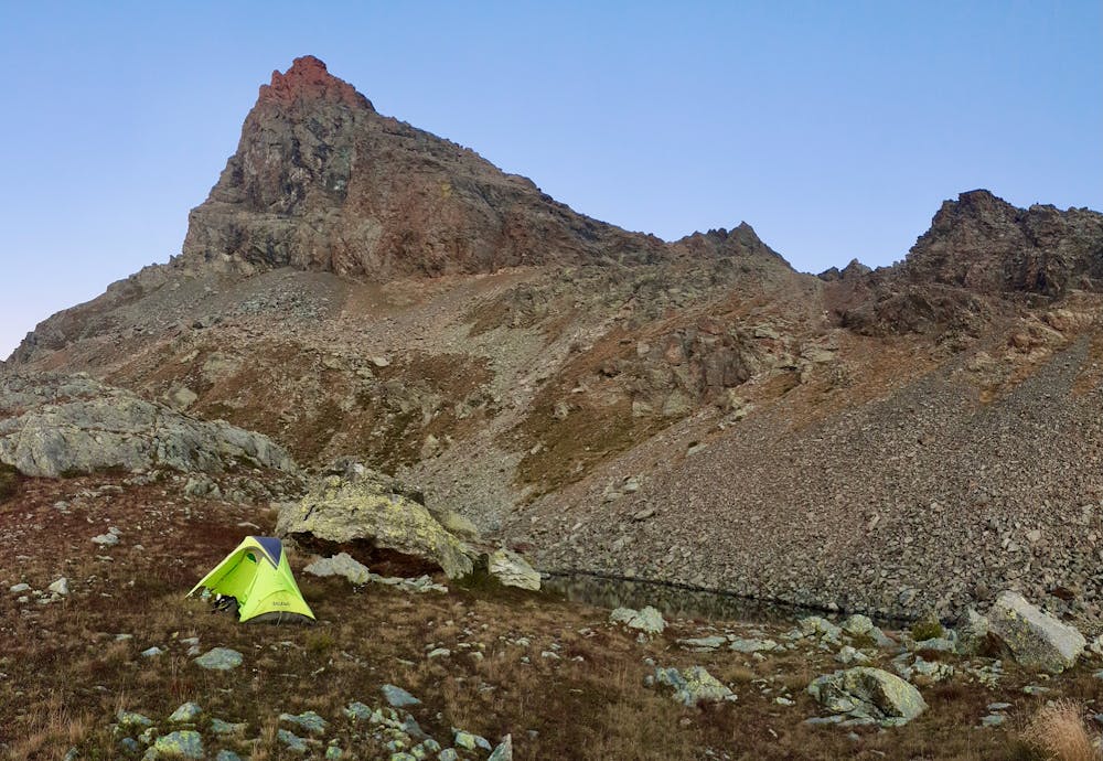
Avic summit with intermediate bivuac at small lake at the base
Hiking Severe
- Distance
- 17 km
- Ascent
- 1.8 km
- Descent
- 1.8 km
- Duration
- 6-7 hrs
- Low Point
- 1.2 km
- High Point
- 2.9 km
- Gradient
- 20˚

This is a popular hiking route which is generally considered to be severe. It's remote, it features high exposure and is typically done between June and September. From a low point of 1.2 km to the maximum altitude of 2.9 km, the route covers 17 km, 1775 vertical metres of ascent and 1811 vertical metres of descent.
- •
- •
- •
- •
- •
Description
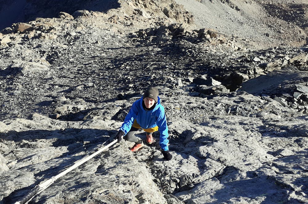
Starting from Covarey it's quite a long way to climb, from Colle NE some ropes helps to reach pre-summit
Difficulty
Severe
Hiking challenging trails where simple scrambling, with the occasional use of the hands, is a distinct possibility. The trails are often filled with all manner of obstacles both small and large, and the hills are very steep. Obstacles and challenges are often unexpected and can be unpredictable.
High Exposure

Some trail sections have exposed ledges or steep ascents/descents where falling could cause serious injury.
Remoteness

Away from help but easily accessed.
Best time to visit
Features
- Alpine
- Picturesque
- Summit Hike