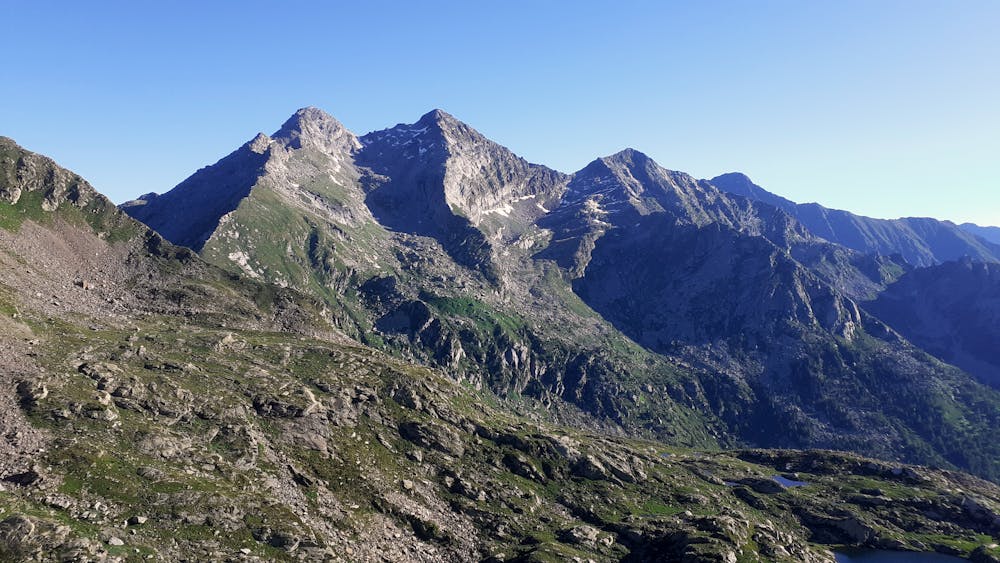
Monte Crabun
Salita al monte Crabun da Pra
Hiking Moderate
- Distance
- 14 km
- Ascent
- 1.8 km
- Descent
- 1.8 km
- Duration
- 5-6 hrs
- Low Point
- 1.4 km
- High Point
- 2.7 km
- Gradient
- 31˚

This is a popular hiking route which is generally considered to be moderate. It's remote, it features low exposure and is typically done between June and September. From a low point of 1.4 km to the maximum altitude of 2.7 km, the route covers 14 km, 1818 vertical metres of ascent and 1820 vertical metres of descent.
- •
- •
- •
- •
- •
- •
Description
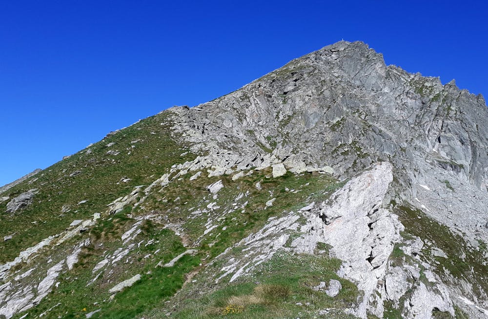
Starting fro Pra path goes straight up until colletto and then straight to the summit, very direct
Difficulty
Moderate
Hiking along trails with some uneven terrain and small hills. Small rocks and roots may be present.
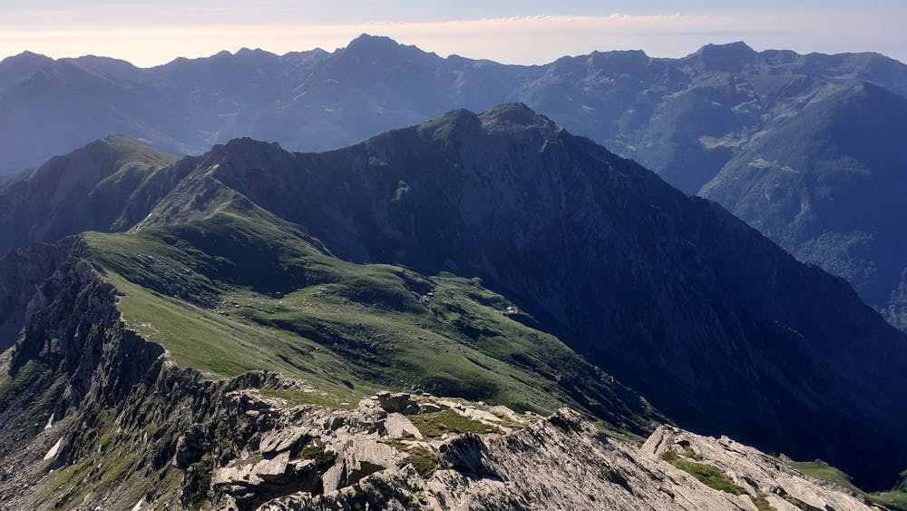
Low Exposure

The path is on completely flat land and potential injury is limited to falling over.
Remoteness

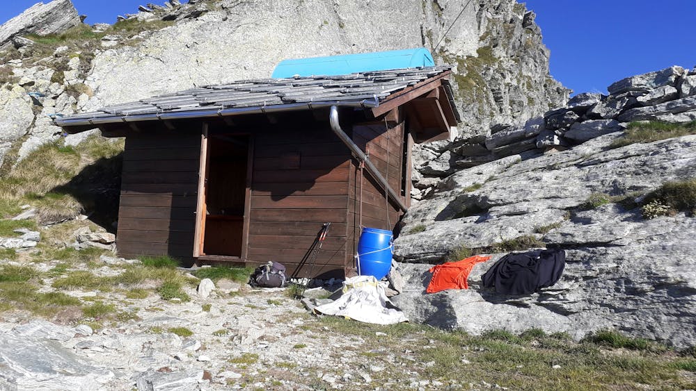
Away from help but easily accessed.
Best time to visit
Features
- Alpine
- Picturesque
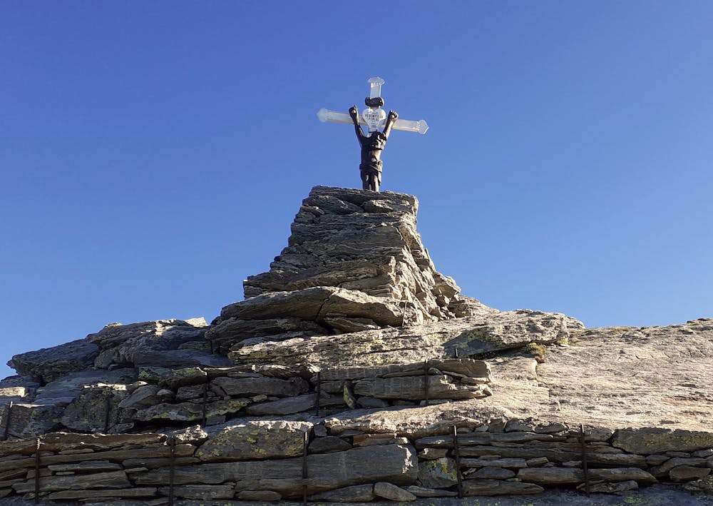
- Summit Hike