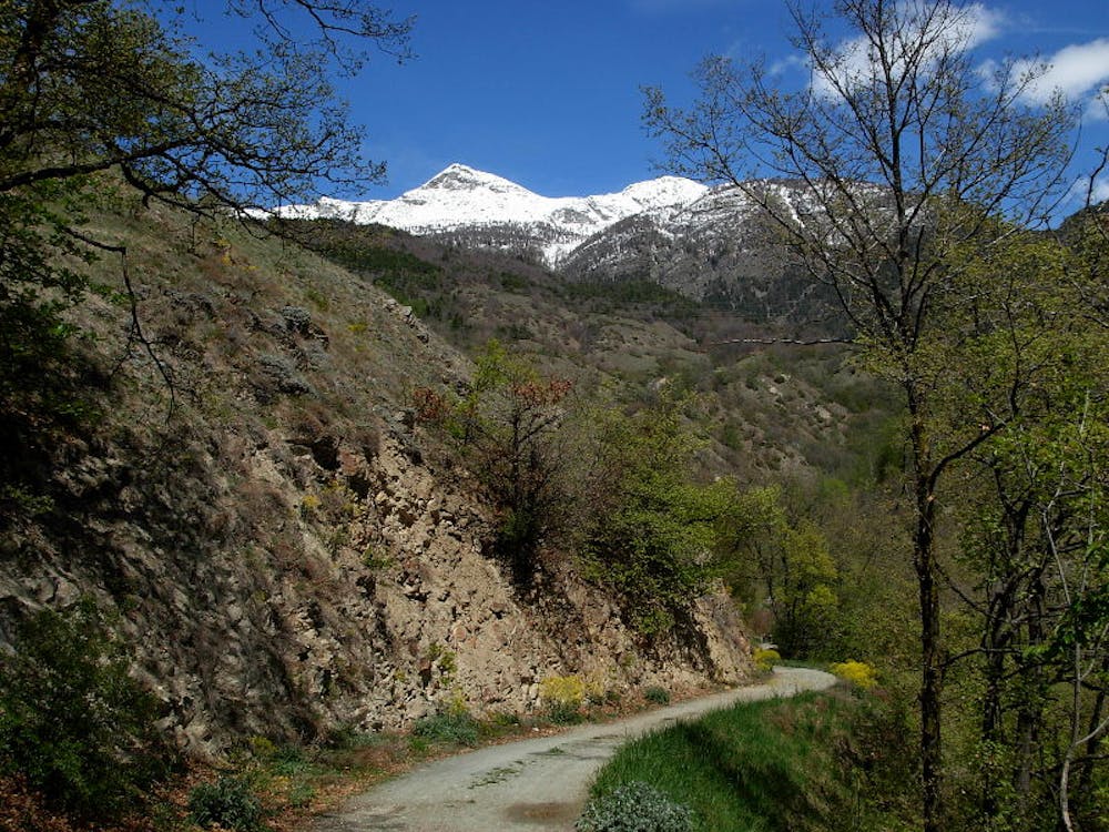
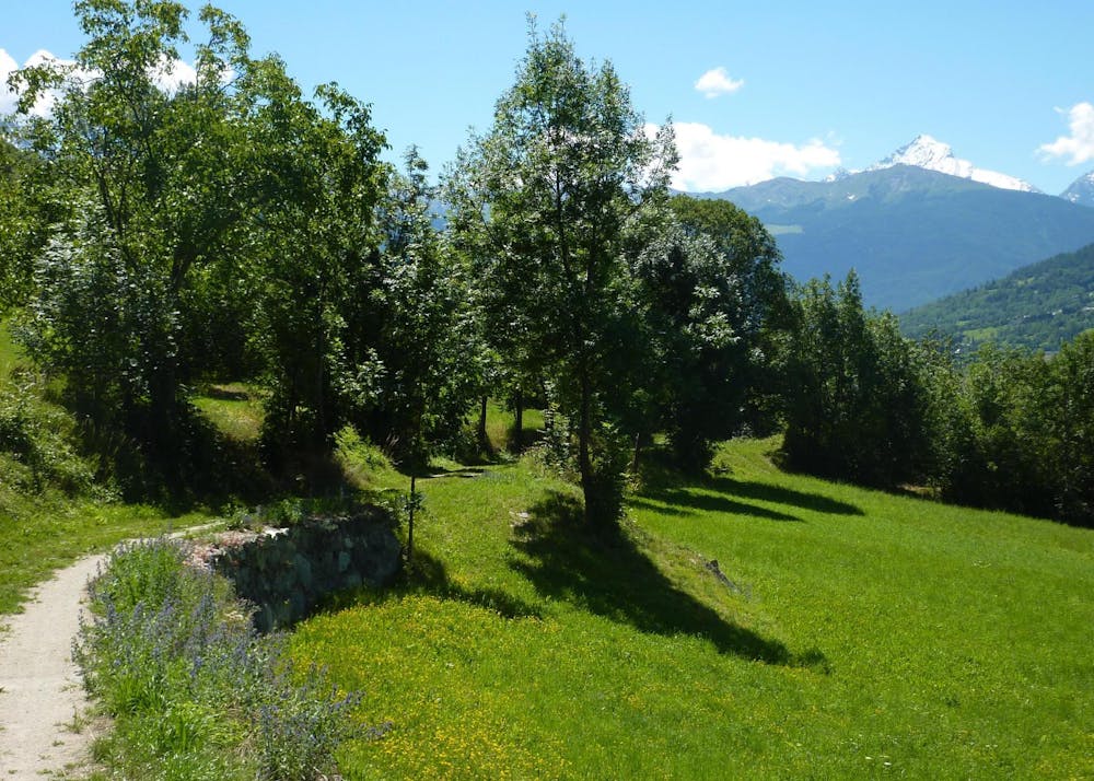
Castello di Quart - Ru Pompilard - Valpelline
A beautiful, very easy and low gradient tour along one of the ancient ruins of the Aosta Valley.
Mountain Biking Easy
- Distance
- 19 km
- Ascent
- 578 m
- Descent
- 380 m
- Duration
- 1-2 hrs
- Low Point
- 743 m
- High Point
- 948 m
- Gradient
- 11˚

This is a popular mountain biking route which is generally considered to be easy. It's not remote, it features high exposure and is typically done between February and November. From a low point of 743 m to the maximum altitude of 948 m, the route covers 19 km, 578 vertical metres of ascent and 380 vertical metres of descent.
- •
- •
Description
A beautiful, very easy and low gradient tour along one of the ancient ruins of the Aosta Valley.
Difficulty
Easy
Mostly smooth and non-technical singletrack with unavoidable obstacles 2in/5cm tall or less. Avoidable obstacles may be present. Ideal for beginner riders.
High Exposure

Some trail sections have exposed ledges or steep ascents/descents where falling could cause serious injury.
Remoteness

Close to help in case of emergency.
Best time to visit
Features
- Flow
- Hike a bike
- Picturesque
- In the forest