Col Serena - Col del Malatra
Courmayeur
Col Serena - Col del Malatra - Aosta
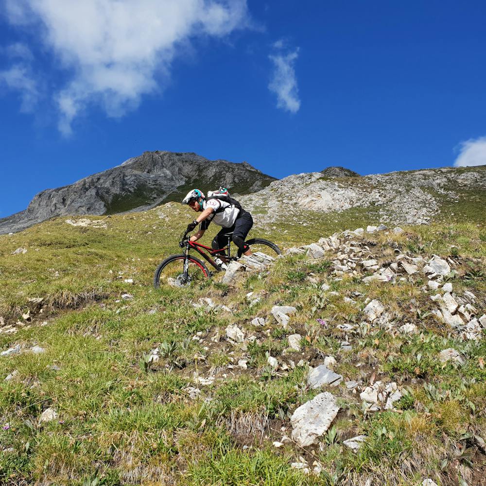
Mountain Biking Difficult
- Distance
- 54 km
- Ascent
- 2.7 km
- Descent
- 3.3 km
- Duration
- 6-7 hrs
- Low Point
- 1 km
- High Point
- 2.9 km
- Gradient
- 16˚

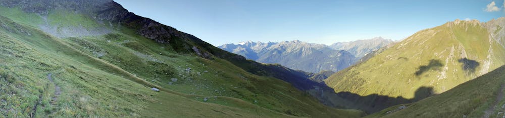
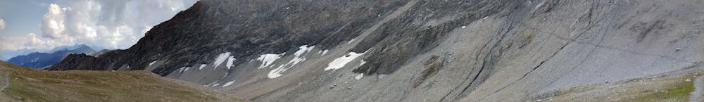
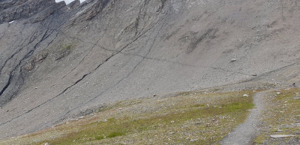
This is a popular mountain biking route which is generally considered to be difficult. It's remote, it features extreme exposure and is typically done between July and October. From a low point of 1 km to the maximum altitude of 2.9 km, the route covers 54 km, 2709 vertical metres of ascent and 3342 vertical metres of descent.
- •
- •
- •
- •
- •
- •
Description
Fantastic ride on the Italians Alps
Difficulty
Difficult
Mostly stable trail tread with some variability featuring larger and more unavoidable obstacles that may include, but not be limited to: bigger stones, roots, steps, and narrow curves. Compared to lower intermediate, technical difficulty is more advanced and grades of slopes are steeper. Ideal for upper intermediate riders.
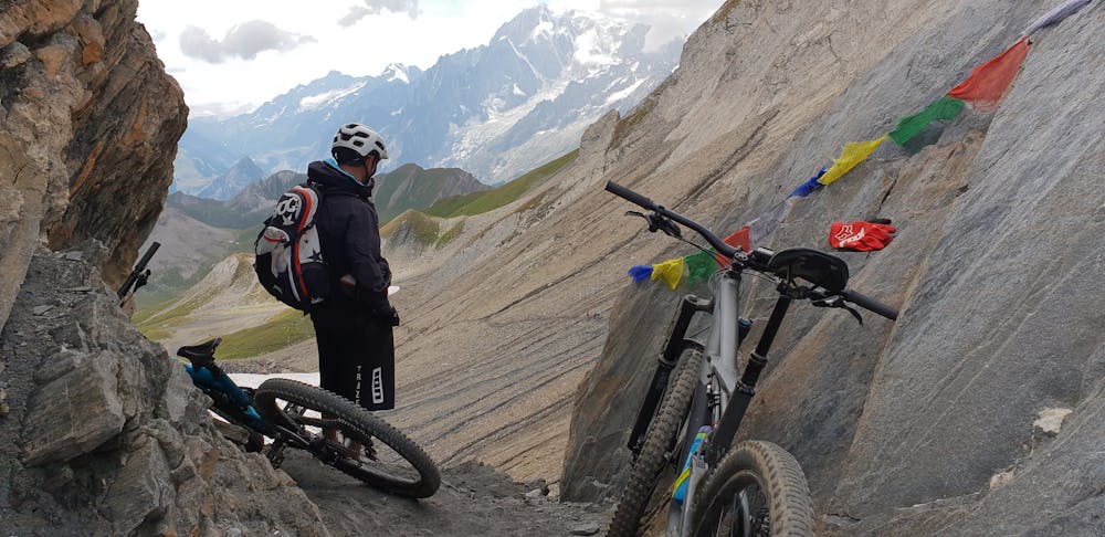
Extreme Exposure

Some trail sections are extremely exposed where falling will almost certainly result in serious injury or death.
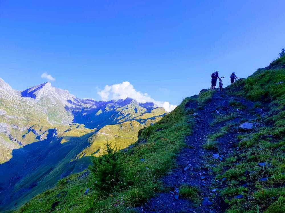
Remoteness

Away from help but easily accessed.
Best time to visit
Features
- Flow
- Technical
- Hike a bike
- Road sections
- Drops
- Rock Rolls
- Rock Gardens