6.8 km away
Western Transalp: Rifugio Vittorio Sella to Ceresoulaz
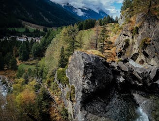
Day 5 of the incredible 6-day crossing of the Western Alps.
Severe Mountain Biking
- Distance
- 60 km
- Ascent
- 2.7 km
- Descent
- 3.8 km
The alpine gravel road is an excellent training in a fantastic alpine scenery.
Mountain Biking Easy

This is a popular mountain biking route which is generally considered to be easy. It's not remote, it features low exposure and is typically done between July and October. From a low point of 1.6 km to the maximum altitude of 2.6 km, the route covers 13 km, 1082 vertical metres of ascent and 50 vertical metres of descent.
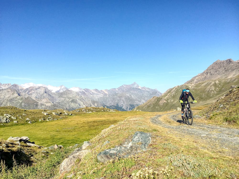
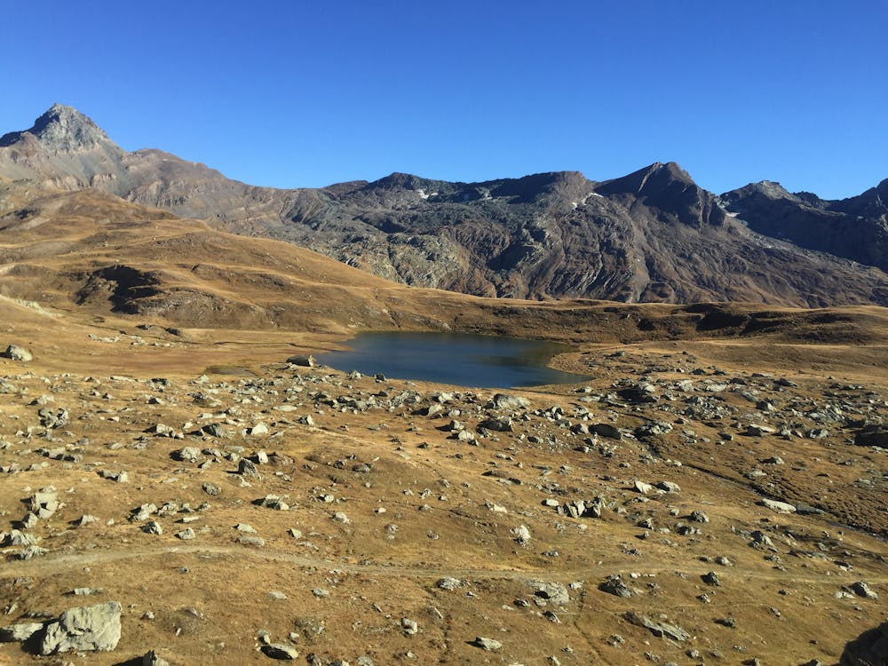
Follow the obvious alpine road to the Berdze Hut. When the gravel road flattens at aprox. 2350 m cross the Urtier river by a bridge on your left. Some more fun serpentines will bring you up to the viewpoint on the lake.
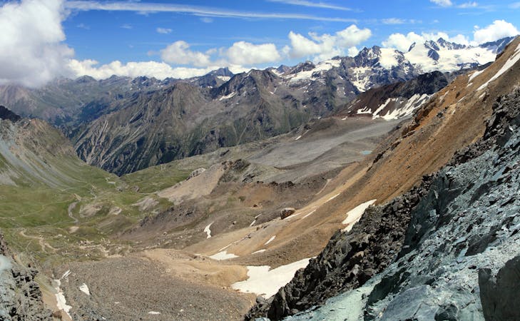
Easy
Mostly smooth and non-technical singletrack with unavoidable obstacles 2in/5cm tall or less. Avoidable obstacles may be present. Ideal for beginner riders.

The path is on completely flat land and potential injury is limited to falling over.
Close to help in case of emergency.
6.8 km away
Day 5 of the incredible 6-day crossing of the Western Alps.
Severe Mountain Biking
6 routes · Mountain Biking