6.6 km away
Pointe Du Drinc To Grimondet
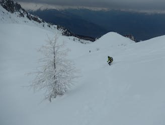
A slice of real free ride, make for an intense morning or a great day trip for experienced skiers and snowboarders.
Severe Ski Touring
- Distance
- 1.1 km
- Ascent
- 2 m
- Descent
- 312 m
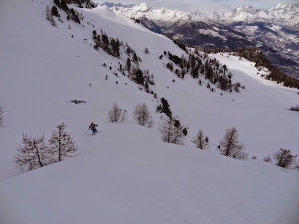
A great mountain with an awesome view for those unafraid to carry the skis for a bit
Ski Touring Moderate

This ski-tour can be done till the very end of spring. Its character is very homogeneous and straight forward. The first 500 vertical meters lead up the hiking path (usually Skis are carried on the pack) before switching to Skis at the old mountain pastures of les Ors. The following north facing slope is avalanche prone and can often be iced up in spring. Crampons can be helpful. Afterwards you follow the sunny east side with an incredible view to the summit plateau. Be aware of cornices in the summit area towards the north (steep cliff!). Descent the same way. In exceptional years with very safe snow conditions you can ski down directly to Buthier.


Moderate
Slopes become slightly steeper at around 25-30 degrees.

As well as the slope itself, there are some obstacles (such as rock outcrops) which could aggravate injury.
Away from help but easily accessed.
6.6 km away
A slice of real free ride, make for an intense morning or a great day trip for experienced skiers and snowboarders.
Severe Ski Touring
5 routes · Freeride Skiing · Ski Touring