7.1 km away
Pointe Du Drinc To Grimondet
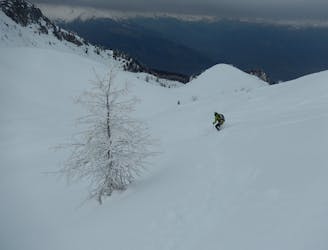
A slice of real free ride, make for an intense morning or a great day trip for experienced skiers and snowboarders.
Severe Ski Touring
- Distance
- 1.1 km
- Ascent
- 2 m
- Descent
- 312 m
Remote peak with an exceptional view
Ski Touring Moderate

This is a popular ski touring route which is generally considered to be moderate. It's remote, it features low exposure (e1) and is typically done between March and April. From a low point of 1.8 km to the maximum altitude of 3.4 km, the route covers 26 km, 1779 vertical metres of ascent and 1778 vertical metres of descent. It's graded 2.3 and Labande grade 3. You'll need skins and crampons to complete it safely.
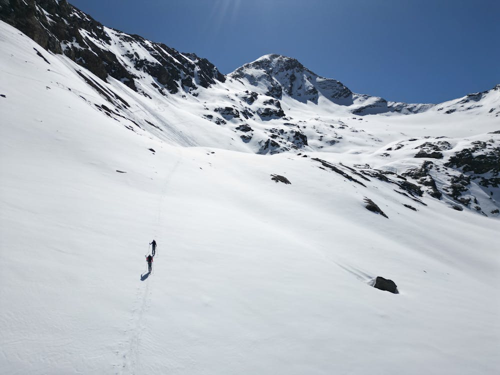
A long distance for a remote peak. The view is exceptional and the reward for the stretched out Grausson Valley. Not a route for those looking for steep and straightforward tracks....
Moderate
Slopes become slightly steeper at around 25-30 degrees.

Exposure is limited to that of the slope itself. Getting hurt is still likely if the slope is steep and/or the snow is hard.

Away from help but easily accessed.
7.1 km away
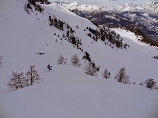
A slice of real free ride, make for an intense morning or a great day trip for experienced skiers and snowboarders.
Severe Ski Touring
5 routes · Freeride Skiing · Ski Touring