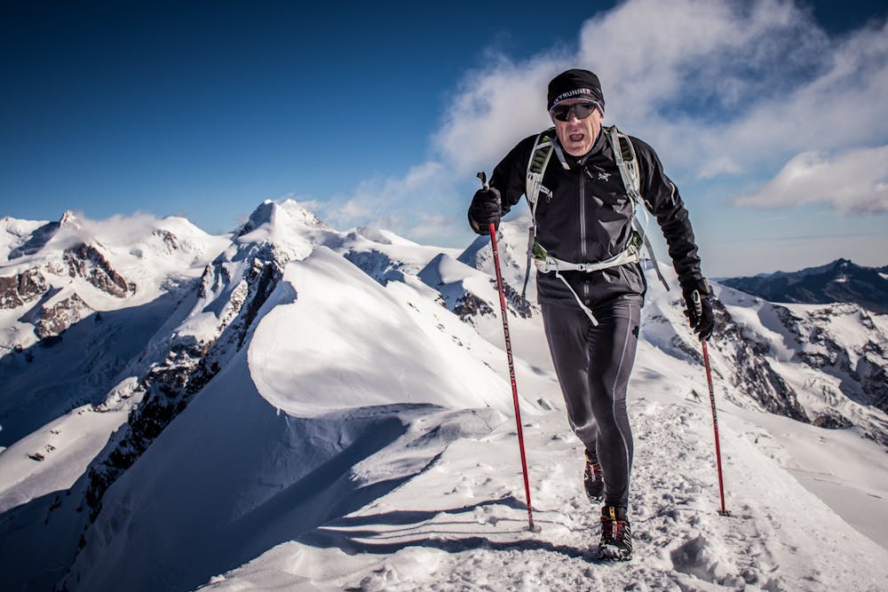
Breithorn
Cervinia
Zermatt - Breuil-Cervinia
from Cervinia to the top - Trail e Skyrunning
Also in Valais, Switzerland
Trail Running Severe
- Distance
- 13 km
- Ascent
- 2.2 km
- Descent
- 96 m
- Duration
- 4-5 hrs
- Low Point
- 2 km
- High Point
- 4.2 km
- Gradient
- 25˚

This is a popular trail running route which is generally considered to be severe. It's not remote, it features high exposure and is typically done in undefined. From a low point of 2 km to the maximum altitude of 4.2 km, the route covers 13 km, 2245 vertical metres of ascent and 96 vertical metres of descent.
Description
from Cervinia ski resort to the ventina glacier, plateux Rosa, Gobba di Rollin and top of Breithorn
Difficulty
Severe
High Exposure

Some trail sections have exposed ledges or steep ascents/descents where falling could cause serious injury.
Remoteness

Close to help in case of emergency.