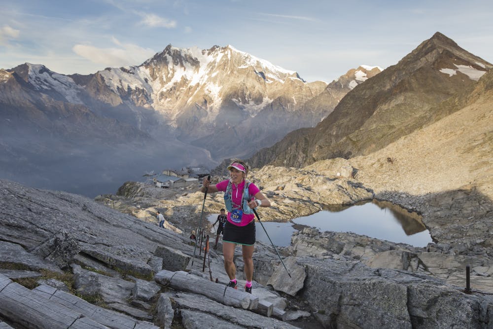
UTMR 2021 100 km Ultra 3 Passes
Gressoney La Trinité
Monte Rosa
The Mischabel Range
100 km trail ultra on the Tour Monte Rosa
Also in Valais, Switzerland
Trail Running Difficult
- Distance
- 96 km
- Ascent
- 6.5 km
- Descent
- 6.5 km
- Duration
- 1 day +
- Low Point
- 1.2 km
- High Point
- 2.9 km
- Gradient
- 16˚

This is a popular trail running route which is generally considered to be difficult. It's remote, it features medium exposure and is typically done between August and September. From a low point of 1.2 km to the maximum altitude of 2.9 km, the route covers 96 km, 6502 vertical metres of ascent and 6507 vertical metres of descent.
Description
A challenging 100 km route on the Tour Monte Rosa, crossing 3 major passes on the way from Italy to Switzerland.
Difficulty
Difficult
Medium Exposure

The trail contains some obstacles such as outcroppings and rock which could cause injury.
Remoteness
Away from help but easily accessed.