4 km away
Lago di Pilato from Foce
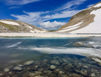
A gorgeous, yet moderately-strenuous, climb to the magical, mysterious, and only natural lake in Le Marche.
Difficult Hiking
- Distance
- 12 km
- Ascent
- 1 km
- Descent
- 1 km

A magnificent high alpine ridge line hike to two incredible vantage points.
Hiking Moderate

Monte Sibilla is one of 10 summits above 2,000m in the Sibillini National Park, located in the heart of the Italian Apennine Mountains. This magnificent route will make you feel on top of the world as you scale the high ridge trail with stunning 360-degree views.
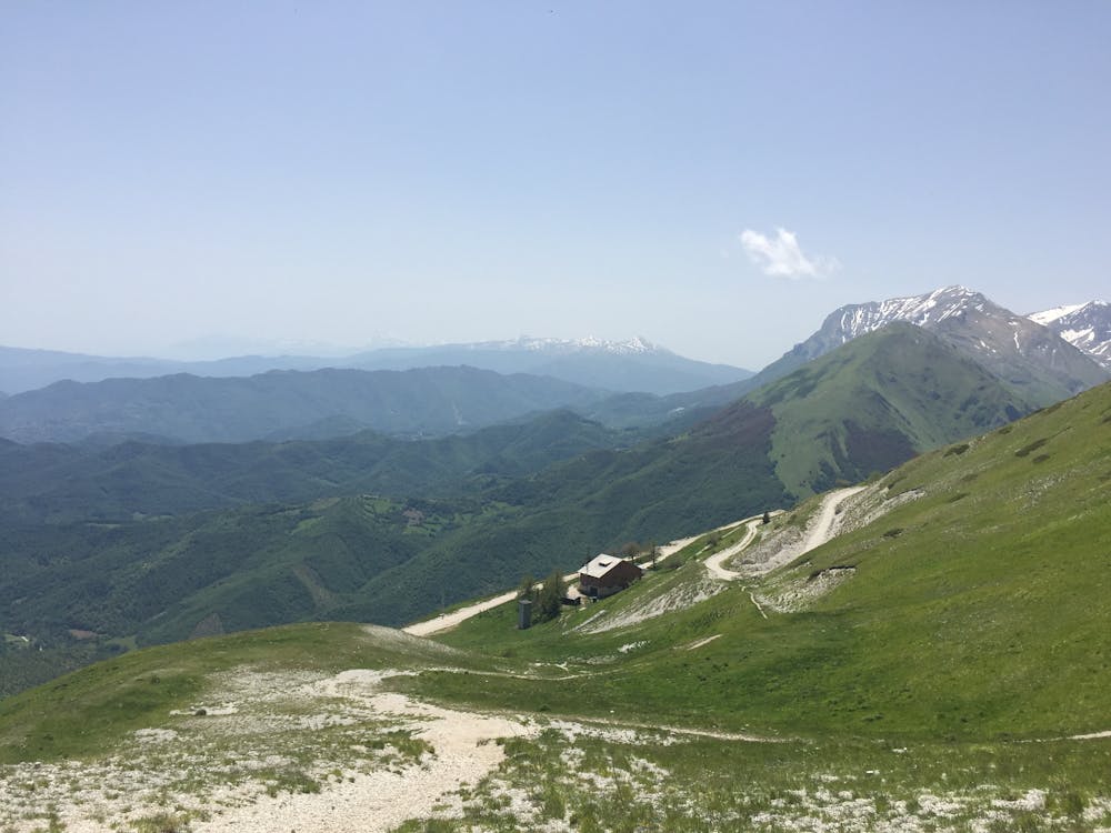

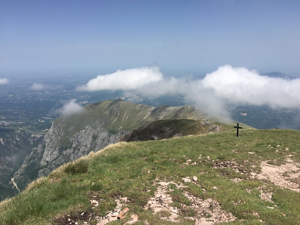
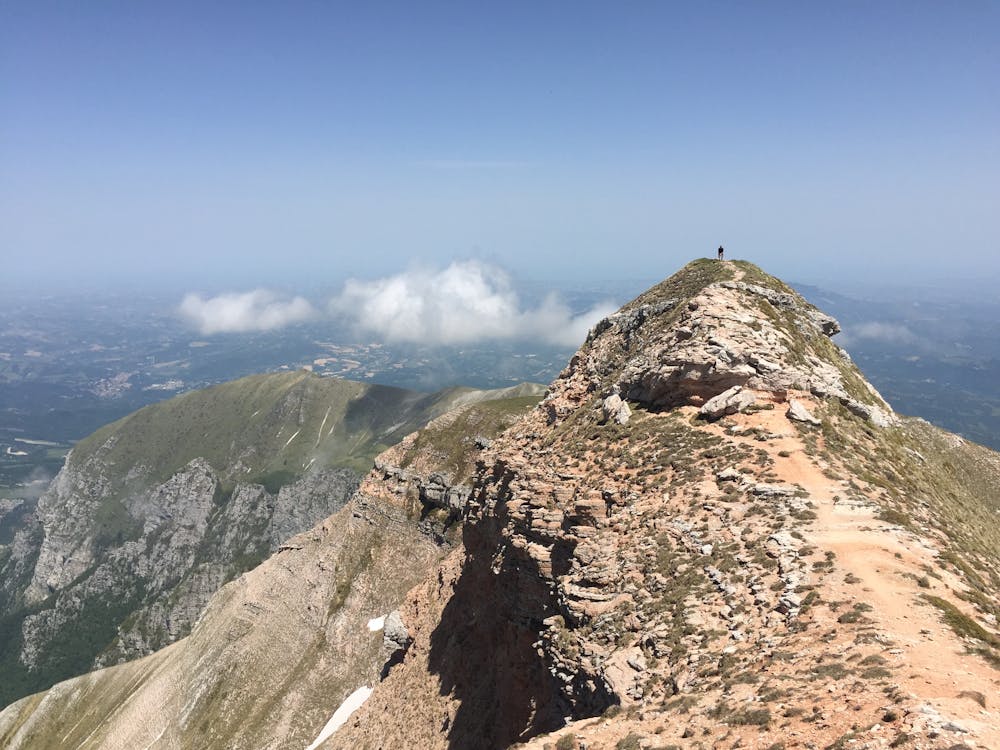
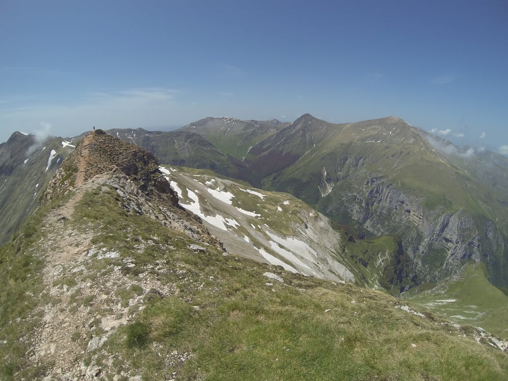
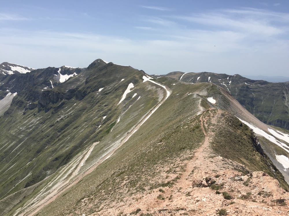
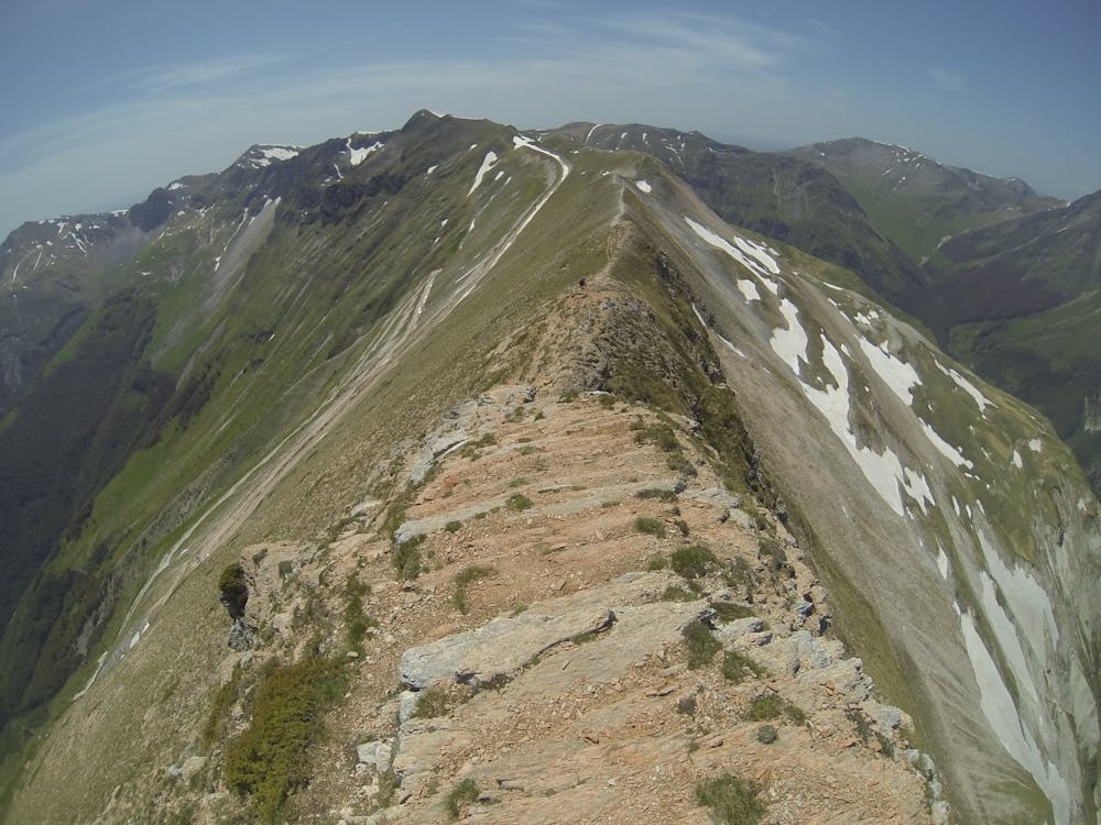
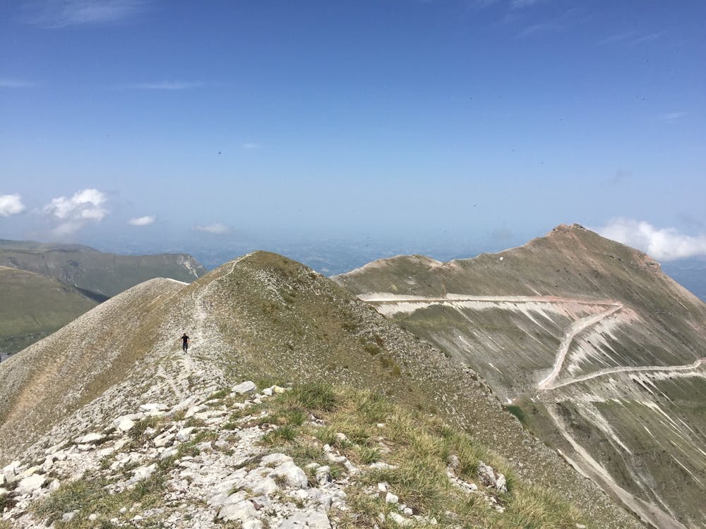
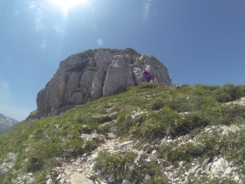
The route starts from Refugio Sibilla which is set in a commanding position, two thirds up on the eastern side of the long northeast spur of Sibilla. There are stunning views looking towards the Adriatic coast. Access to the refuge is via a steep serpentine gravel road with many hairpin bends from the small village of Montemonaco. This road is intended for vehicular use but it can be very rutted, blown out, and in poor condition. Unless the road surface is maintained/repaired a 4x4 vehicle is recommended. You can, of course, hike from the start of this access road should you wish, but it is quite unexciting.
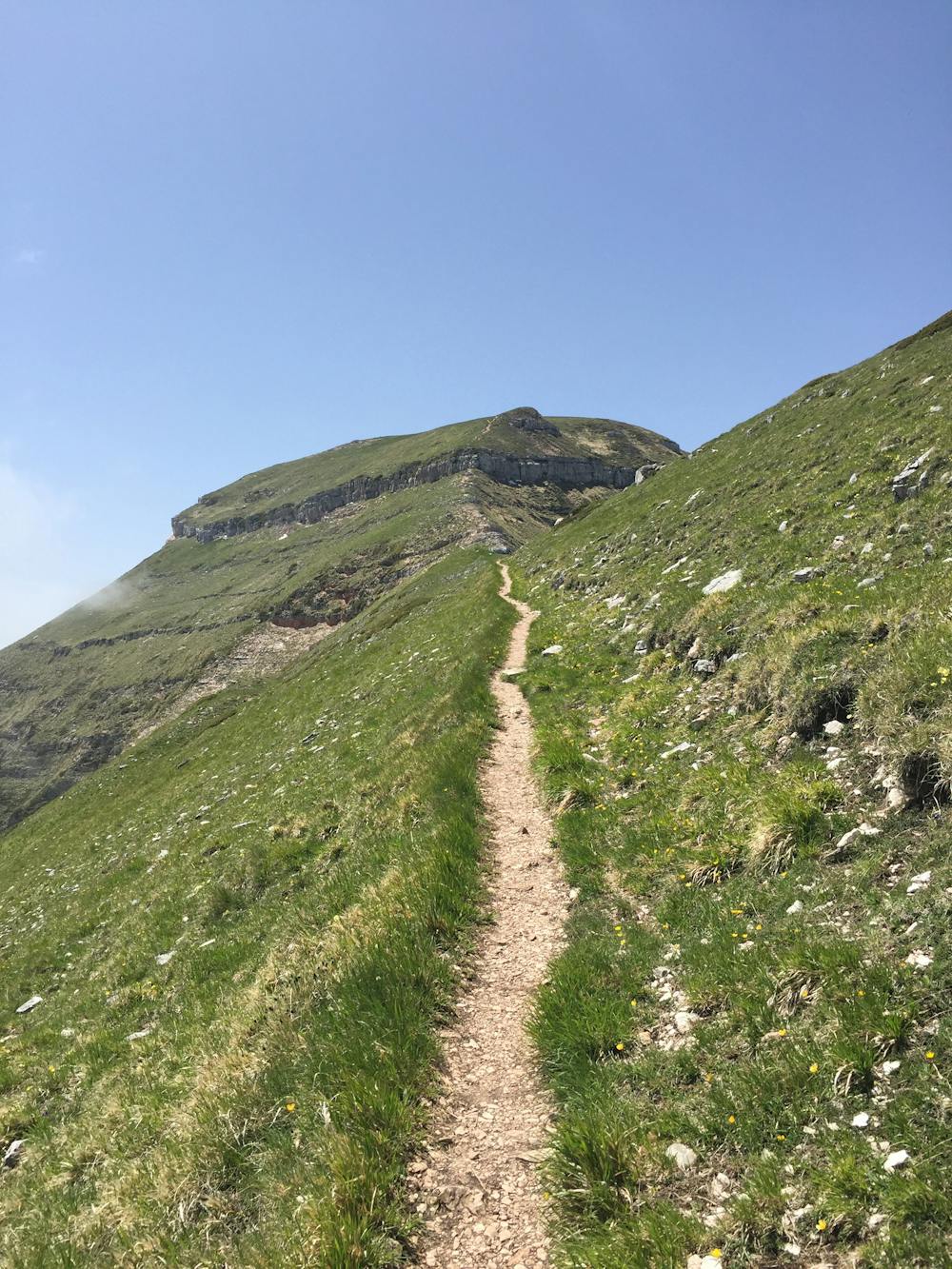
The trail initially ascends gentle grassy slopes behind the refuge before joining the crest of the long northeast spur of Sibilla. Wildflowers can be seen on these grassy slopes to give you some pretty alpine flora views as you climb.
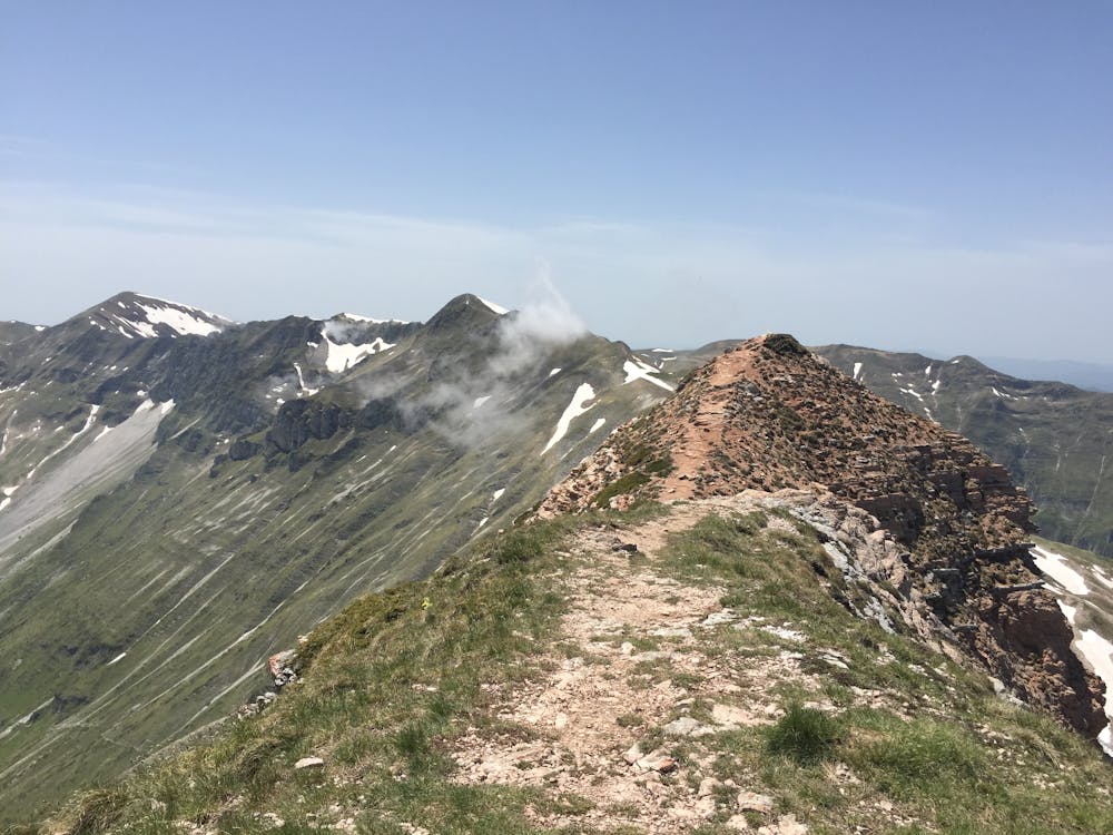
Once on the ridge, if the weather is clear, you will have an incredible, breathtaking view.
The limestone/grass spur winds round and up towards the now visible summit of Sibilla. But directly in front, slopes plunge precipitously straight down a couple of thousand meters into the Gole dell’ Infernaccio—a spectacular sight.
The trail continues along the top of the ridge until a particularly steep limestone step is reached. This is protected with a metal chain to assist your scramble. This step is an easy scramble, but with the plunging steeps slopes to each side, those not used to or who don't like exposure may find this a bit unnerving. The Monte Sibilla summit is not far past the scramble point.
The trail continues ahead, undulating along much of the same terrain until Cima Vallelunga is reached at a little higher altitude than Sibilla. Cima Vallelunga is the turn around point. Reverse a little way along the ridge trail until you reach the return 4WD track.
Refugio Sibilla is open in the summer for refreshments and overnight accommodation. It is recommended to phone and reserve accommodation in advance: Tel: +39 338 469 5073
Moderate
Hiking along trails with some uneven terrain and small hills. Small rocks and roots may be present.
4 km away

A gorgeous, yet moderately-strenuous, climb to the magical, mysterious, and only natural lake in Le Marche.
Difficult Hiking